
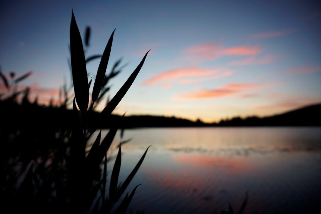
Learning to Thru-Hike
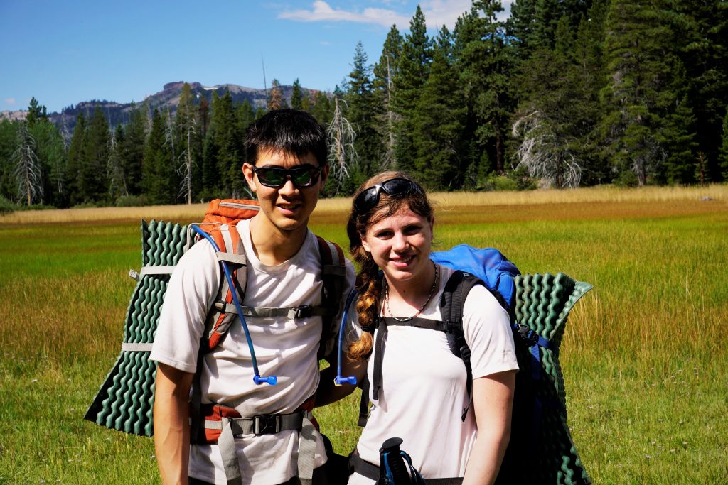
Since Kylie grew up so close to Lake Tahoe, she always wanted to hike the Tahoe Rim Trail. It circumnavigates the world’s largest alpine lake, totaling about 170 miles. We decided to fly down to Reno for our last week of summer to visit her family and tackle the long loop trail. Neither of us had hiked any distance like that, but we felt like with good fitness and lighter gear, we would have a good shot.
Day 1: Kingsbury South to Big Meadow
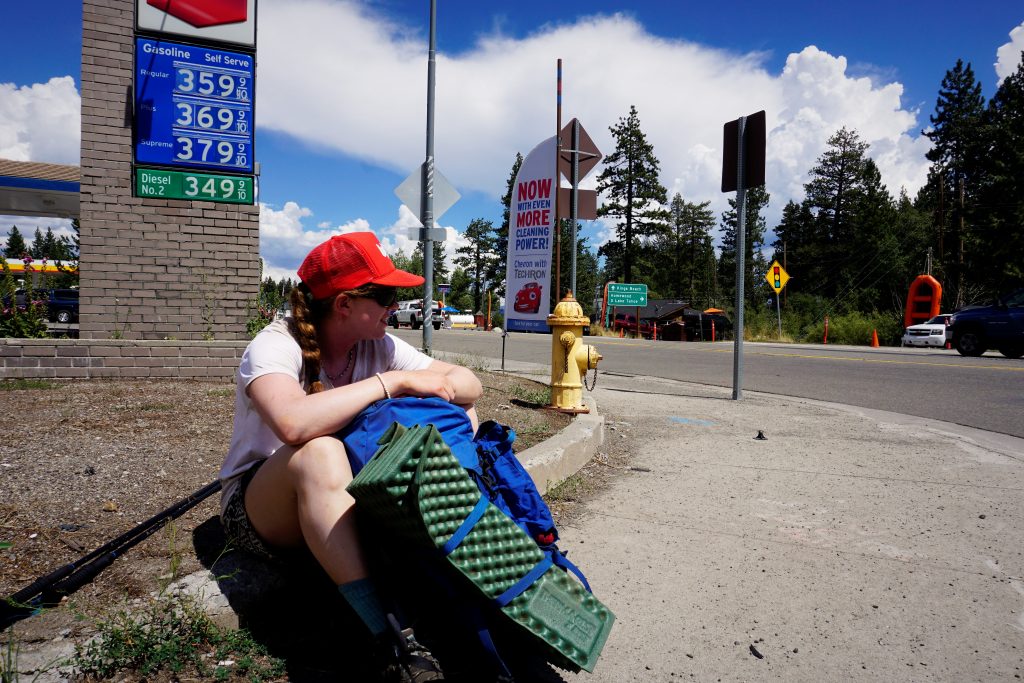
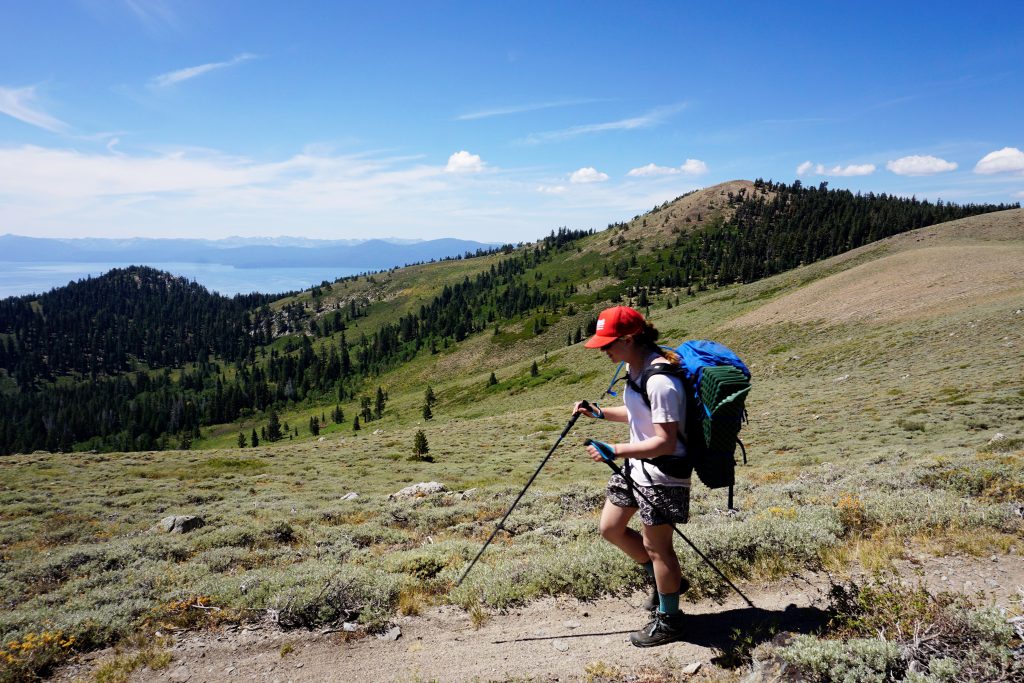
Kylie’s mom dropped us off at Kingsbury South and we began hiking south. The trail meandered through Heavenly Ski Resort for a good part of the day.
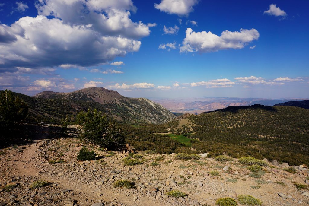
The terrain on this side of the lake was extremely dry and arid. It definitely felt more like a desert mountain range over here. Much of the trail was high on a sandy ridge, offering good views.
In the afternoon, storm clouds started building all around us. We had almost not brought rain jackets because Kylie said it never really rains in the summer at Tahoe, but we were glad to have them as it rained lightly and boomed for most of the afternoon. The wind picked up and it was actually quite cold up on a ridge at 10,000 ft.
It never rained too hard though, and we were able to descend in the evening down to more protected terrain.
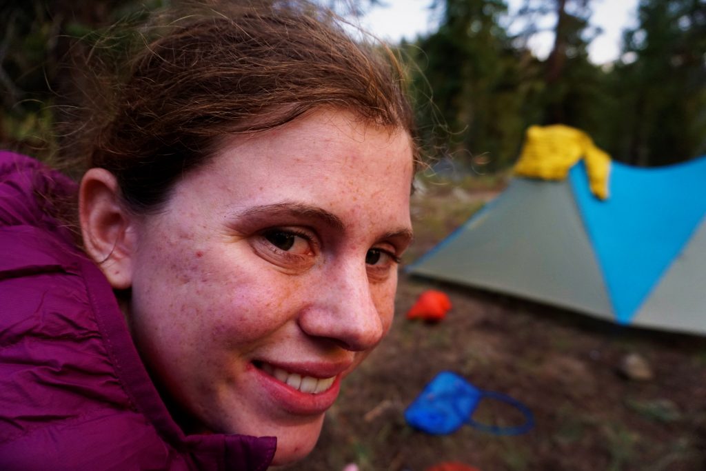
When we arrived at Big Meadow, we were confused where backpackers would sleep. It is just a trailhead off a major road, but we found a decent spot in between the parking lot and road. This would become a theme of our experiences on the Tahoe Rim Trail: just when you think you are in nature, there’s another highway and a bunch of tourists (I guess I was one also).
Day 2: Big Meadow to Lake Susie
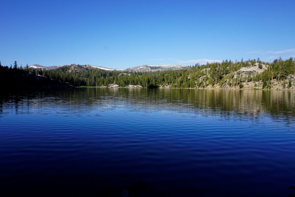
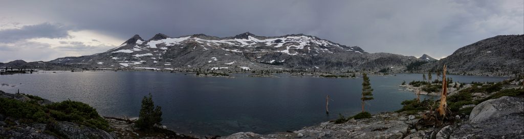
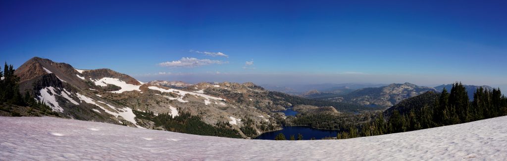
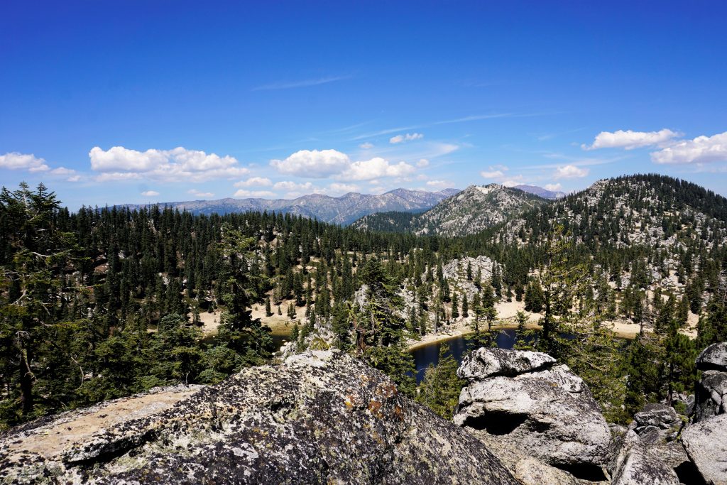
We woke up with sore legs, but excited for day 2. This would be the day we would enter the Desolation Wilderness, which Kylie described as the most beautiful section of the trip with huge granite alpine lakes.
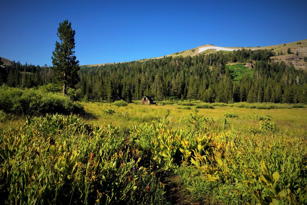
The morning section of this day had some nice meadows and provided generally easy walking. It was weird to think how far from Lake Tahoe we actually were. The trail takes a huge detour south to avoid just walking through developed areas closer to the lake.
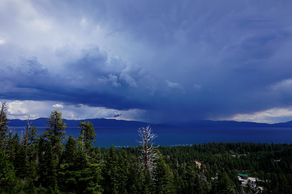
Once we got to Echo Lake, the serious hiking began, as did the serious weather. Huge thunderclouds loomed overhead as we hiked up towards Lake Aloha. Suddenly, the sky just unleashed and it started pounding hail! The trees were tiny so there was really no cover and we were simply caught in the open while we got pounded by painful hail for a good 20 minutes. It was the worst hail we had ever experienced.
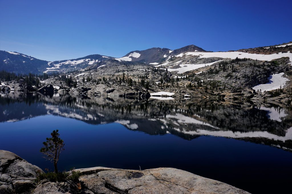
We were thoroughly soaked and frozen by the time we got moving again. Lake Aloha was so huge and impressive, with hundreds of little lakes! It was too bad we were so cold and wet, but it still was a beautiful sight.
We kept on hiking down to Lake Susie for the night. We had been hoping to get a little further, but we still had covered 26 miles for the day with some pretty gnarly weather! It would be a cold wet night…
Day 3: Lake Susie to Twin Peaks
We did not sleep well and were eager to get up and get going.
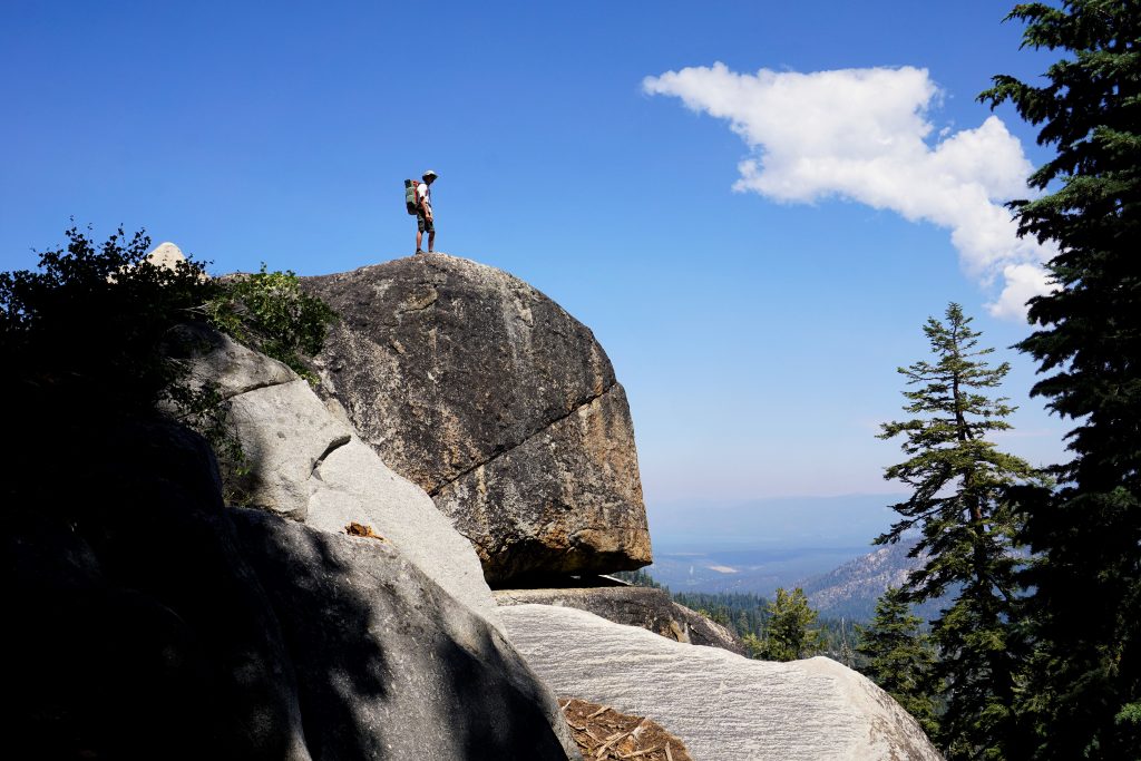
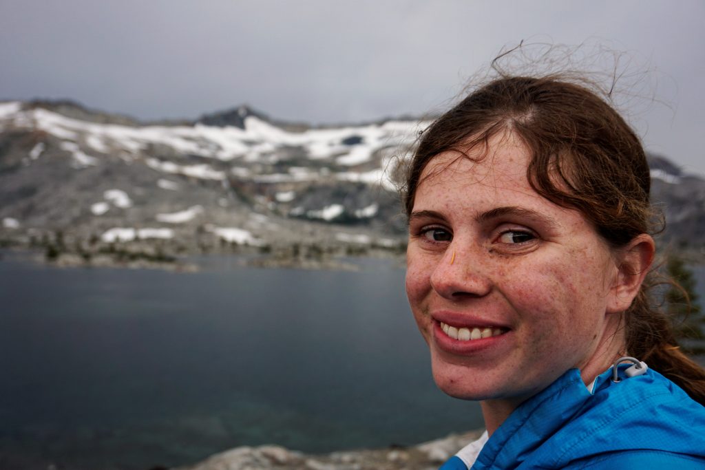
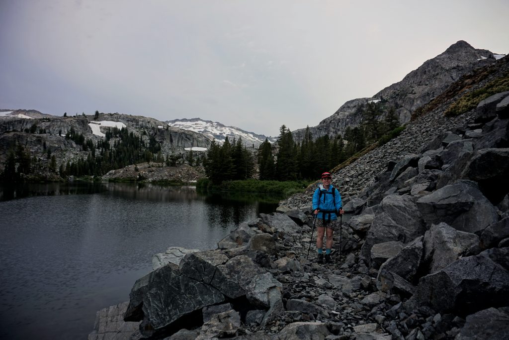
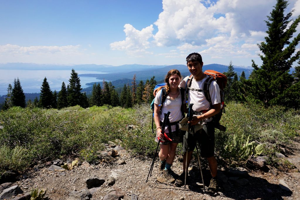
Kylie had done this whole section the summer before with her friend. We climbed up to Dicks Pass, which offered some of the best views of the entire trip. There was even still some snow here, the only snow we crossed the entire trip.
We met a nice couple from Europe here who was doing a large section of the PCT in northern California. They said this was the most beautiful section they had been through!
We descended down to Fontanillis Lake in the mid morning, just in time for the solar eclipse! We through that 90% coverage would mean 90% darkness, but we were disappointed to see the sun only darken ever so slightly… Woops, I guess we learned our lesson.
After leaving the Desolation Wilderness, the trail was pretty boring for a while. It stayed on the PCT through generic wooded forests. We were both pretty tired and our feet hurt, but we knew we needed to cover 30 miles for the day to catch back up to our schedule.
At Barker Pass, the skies once again threatened with rain, but we never got more than a few drops as we climbed towards Twin Peaks. We kept on hiking by headlamp into the darkness before settling down beneath Twin Peaks.

We felt like this was a turning point in the trip. We had survived the most challenging section in the worst weather. We realized how strong we were together and we could push through fatigue with our collective will.
Day 4: Twin Peaks to Watson Lake
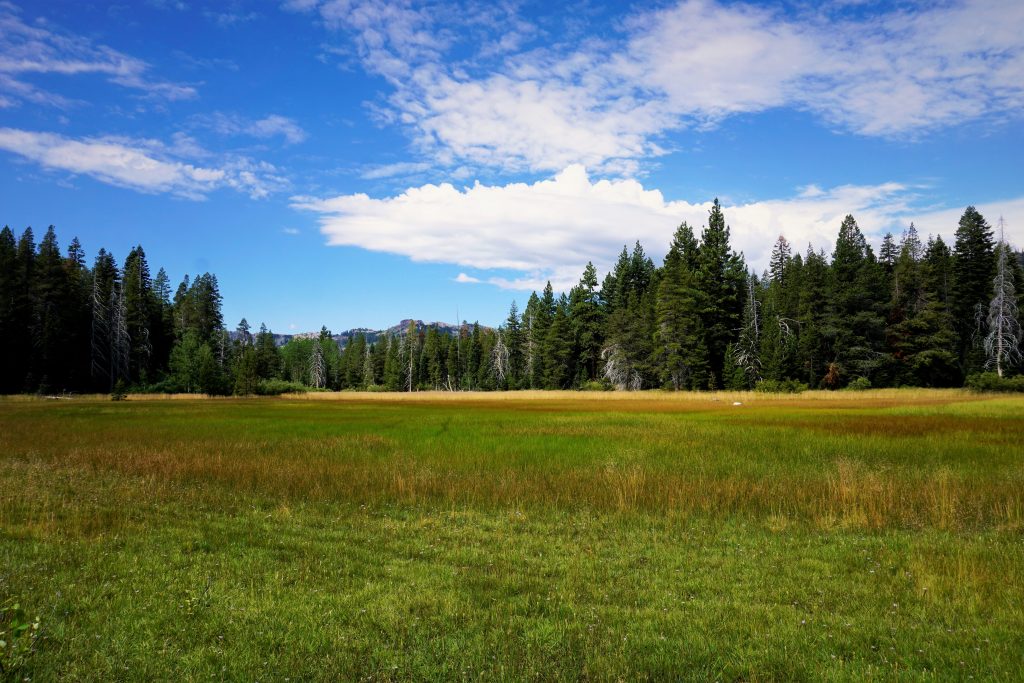
This day began with an easy downhill walk into Tahoe City. We passed Page Meadow, which had a lot of day hikers.
We arrived at Tahoe City midday, ready for a feast. We balked at the expensive food prices, but had to resupply anyways. We felt like true smelly dirtbaggers amongst wealthy Californians. People may have judged us, but we did not care. We had fresh fruit and fried chicken!
The afternoon was a gradual climb up out of the city. It was dry forested terrain, nothing notable, but it felt peaceful and we were moving quickly. There were some cool volcanic land features. Rain hovered over the lake, but it appeared that once again we might escape.
We made it to Watson Lake for the evening. Strangely, you can also drive to this lake, so it did not feel too remote or anything. For once, we arrived a few hours before dark and were able to rest and have a relaxing dinner.
Day 5: Watson Lake to Mt. Rose Meadows
We woke up the next morning to the chorus of chainsaws! Timber! We did not realize that we were camping near an active logging operation. It just reinforced the theme of the trip: you could only get so far away from other people on this trail.
We got on our way, avoiding the heavy machinery. At Brockway Summit, we passed a nice group of older Tahoe Rim Trail Association members out for a day hike. They had left water for thru-hikers like us at the trailhead since this was a long section without water!
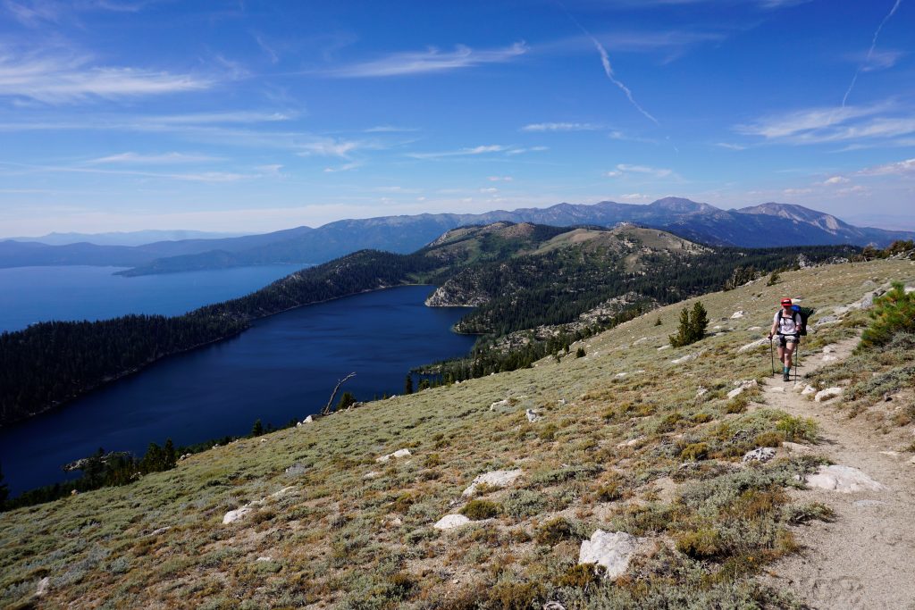
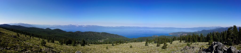
The trail climbed from here to some nice ridgelines on the north side of Lake Tahoe. This was by far the best views of Lake Tahoe specifically we had all trip.

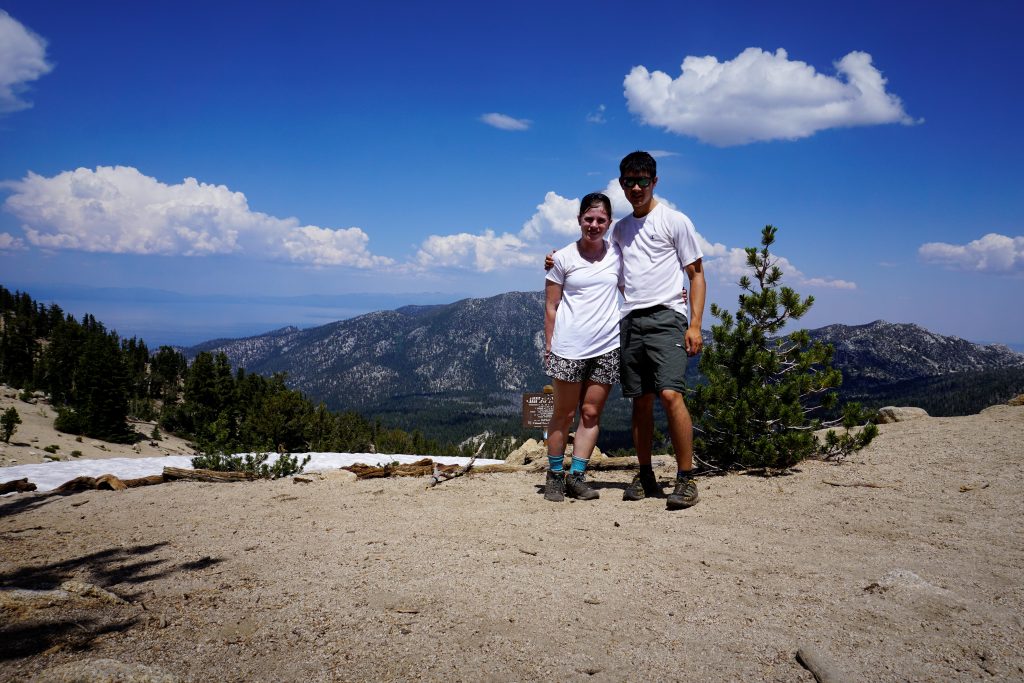
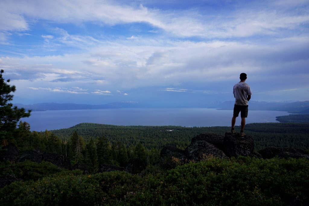
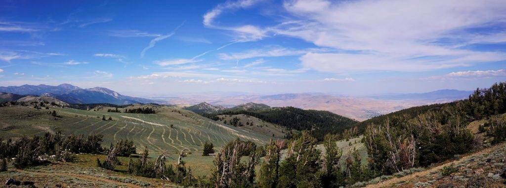
By the mid afternoon, we were climbing the long switchbacks to Relay Peak, the high point in the trip. At the top of Relay, we had great views of the Mt. Rose Wilderness, the home peaks of Reno and Kylie’s figurative backyard. We could stare down the valley towards Reno and her home.
During this section, Kylie’s feet started to fall apart, literally. The soles of her old hiking shoes started to fall apart and her ingrown toenail was causing her issues. We were headed for yet another 30 mile day. Our spirits were pretty low when we crossed the Mt. Rose highway near sundown, a cold wind hitting us. Suddenly, a car pulled over and rolled their window down. A nice couple a little older than us offered us fresh oranges and candy! It made our day, giving us energy to manage one more mile. I hope they realize how much their kindness meant to us. Sometimes it is the smallest acts by random people that move us the most.
Day 6: Mt. Rose Meadows to Spooner Lake
Our last full day began with a gradual climb to Twin Lakes. We hiked through Diamond Peak Ski Resort, where Kylie was a ski instructor in the winter.
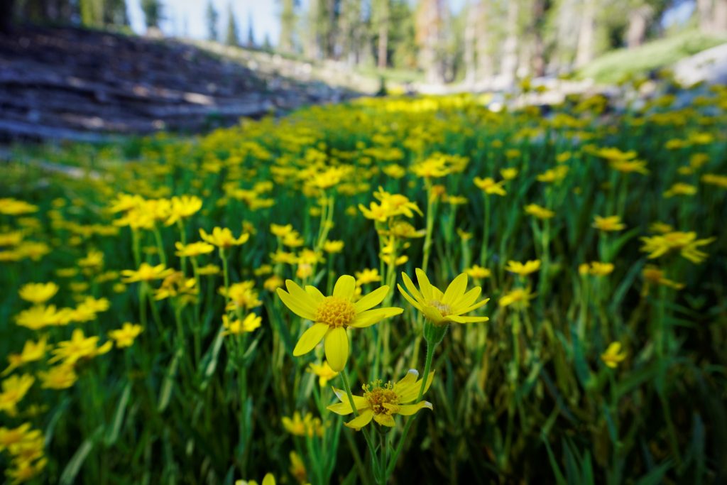
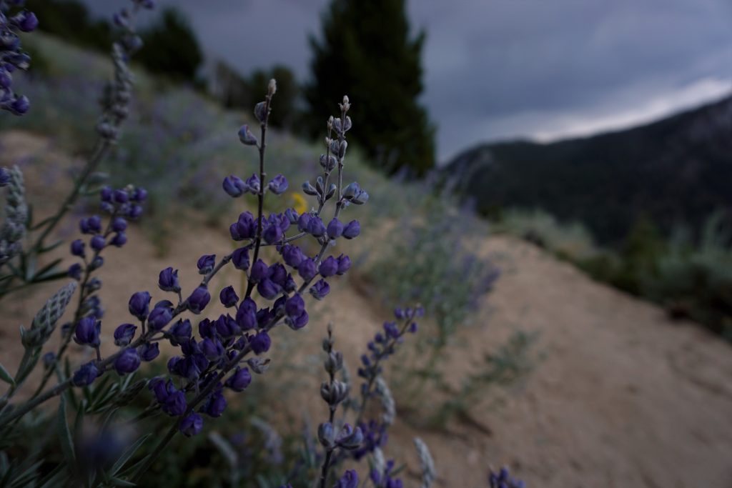
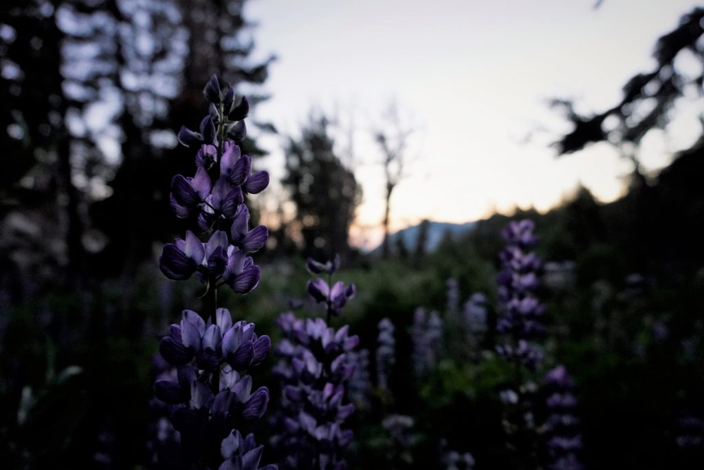
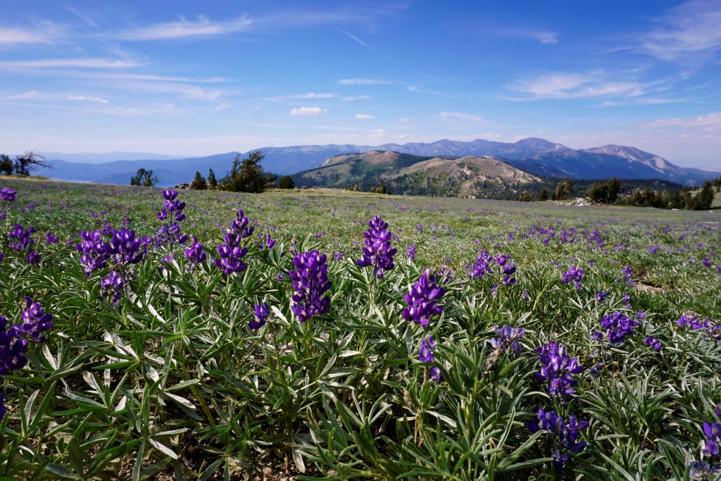
Above, we entered stunning alpine terrain. We walked through endless fields of lavender wildflowers high above Lake Tahoe and Marlette Lake. The double lake view was Kylie’s favorite view of the trip and I had a field day taking photos of all the flowers. As a bonus, this section had great solitude.
I took a little side trip to near the summit of Snow Valley Peak, which had some government station atop.
We cruised down to Spooner Lake, as this was one of our shorter days. Kylie had camped here many years ago back in high school, but she could not remember where the campsites were. We searched around for a while but could not find one, so we just decided to camp on the beach. It ended up having terrible condensation, but it was our last night, we did not care too much.
Day 7: Spooner Lake to Kingsbury South
Our last day would only be about 16 miles. The terrain was pretty mild, with a few good views at a high point along the way.
We rolled into our pickup spot no more than 5 minutes off of our predicted time in the early afternoon! Kylie’s dad was there to pick us up and we eagerly drove down to South Lake Tahoe for some milkshakes and then back to Reno for much needed showers!
Reflections
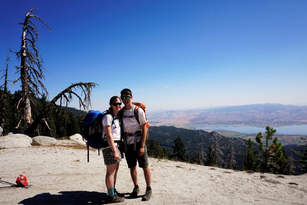
This was a huge trip for us. Neither of us had done a trip this long covering so much distance each day. We averaged a marathon, or 26 miles each day. It was eye-opening to see how strong we have become together and how far our own two feet can take us, as sore as they might become in the process. For Kylie, hiking this trail was a lifelong dream come true. Thank you so much to her for taking the initiative to plan this trip. I was merely along for the ride, making timely jokes and eating more than my fair share of food. And thank you to her family as always for giving us a place to stay and providing transportation on either end.
The Tahoe Rim Trail, although not spectacular or wild, is a great first big thru-hike because the resupply at Tahoe City is simple, the terrain is easy, and bail options are plentiful. It never feels that remote or stunning and there definitely are some longer boring stretches, but it was still such a memorable and worthwhile experience. I know it will be a stepping stone for me and Kylie as we move on to bigger, more spectacular thru-hikes.