
The Dog Days of Summer
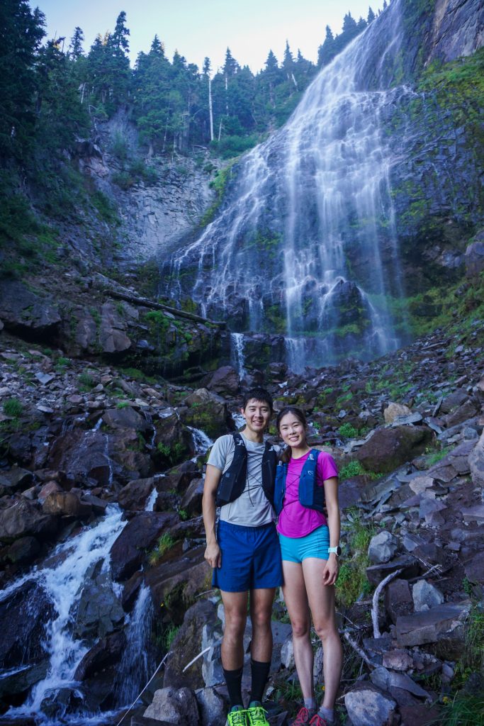
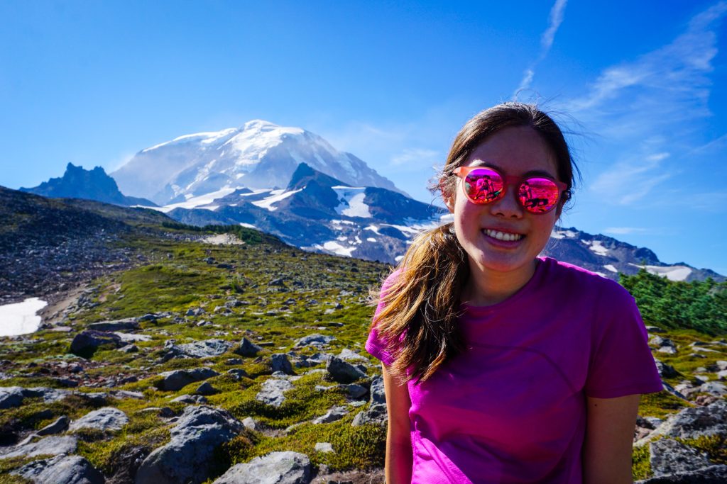
On a warm summer day, Kelly and I invited some friends from her Issaquah Alps running club to join us for a loop in Mount Rainier National Park. Starting and ending at Mowich Lake, the loop around Mother Mountain is commonly referred to as the “Mother Mountain Loop” or “Spray Park Loop”. Alex, Daniel, and Brandon joined us to make a full car!
Mowich is the third alpine access point to Mount Rainier, behind Sunrise and Paradise. The road is unpaved and there is no national park entrance gate. But on a nice summer day, it is quite popular!
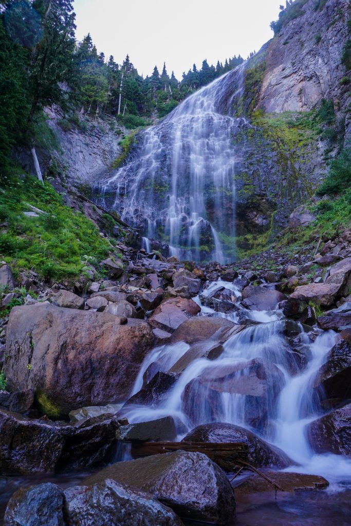
We began by following the trail towards Spray Park. The short detour to Spray Falls is most definitely worthwhile – it is one of the most unique waterfalls I have seen in Washington!
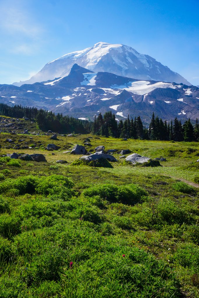
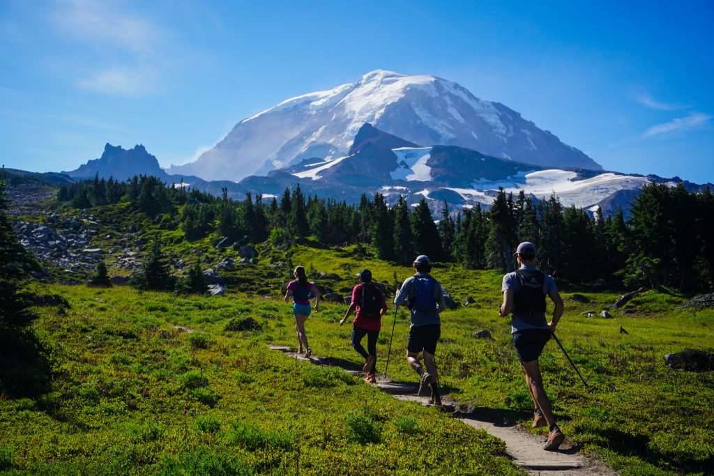
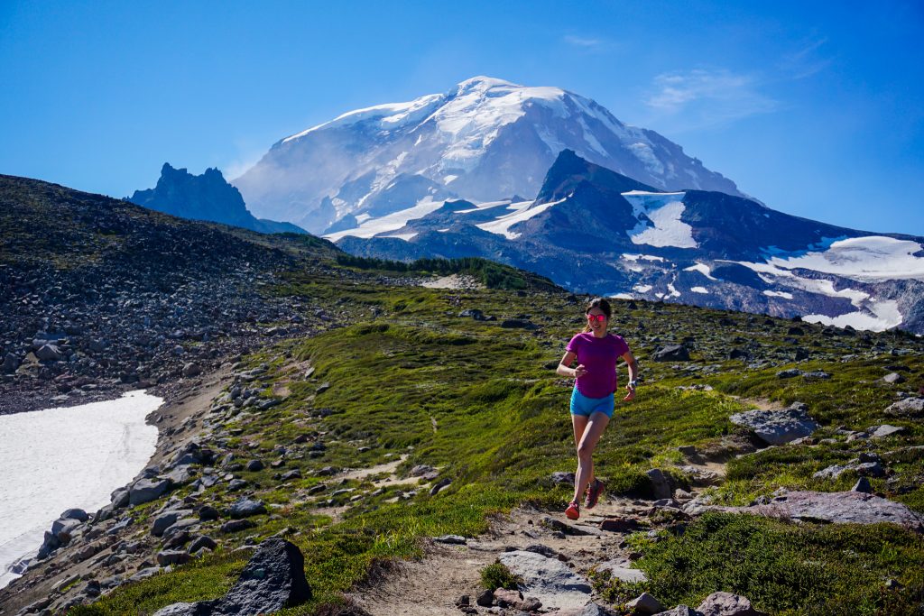
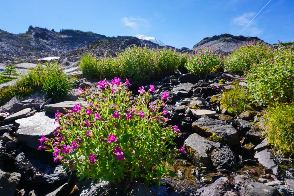
Because we parked at nearly 5000 ft, little effort was required to enter the alpine meadows of Spray Park. It was definitely too late in this hot, dry summer for the famous wildflowers, but the view of the north side of the Rainier was still wonderful! For both Brandon and Alex, it was their first time seeing the Big T up close.
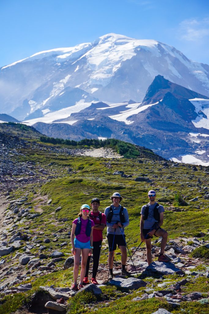
At the high point of the trail, we peeled off onto the approach trail for Observation Rock or the Russell Glacier. A short 50 ft climb got us to a great view and snack spot.
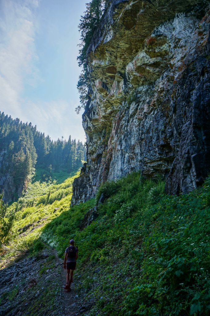
Then we began a long descent to the Carbon River. There were tons of springs gushing cold, clean water. It was already getting warm, but fortunately the rest of the loop was mostly in the shade.
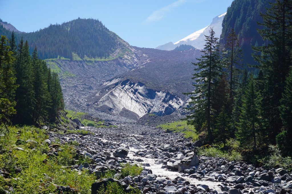
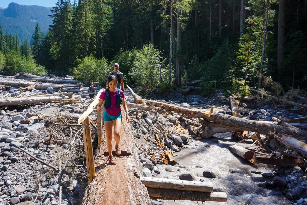
The descent was slow and technical, like so many trails in Mount Rainier National Park. The upper Carbon River crossing has a cool suspension bridge where hikers must travel one at a time. The terminus of the Carbon Glacier is very near. At about 3500 ft, it is the lowest glacier in the lower 48. Based on LIDAR and decade old satellite imagery, it appears that the terminus has actually surged downhill, although I am not certain that my interpretation is correct. It seems that the Carbon Glacier has declined in volume and area by only 15-20% since the late 1800s, far less than most other glaciers in Washington. I suspect that its high elevation accumulation zone and northern aspect protect this glacier more than others.

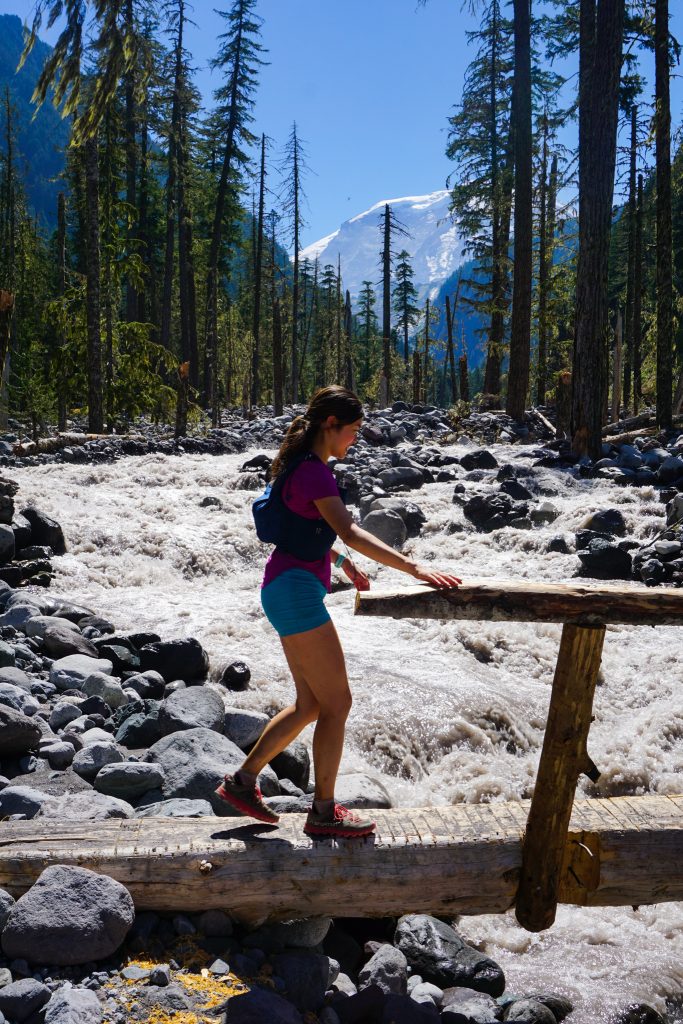
We joined the Wonderland Trail and headed downhill. The next crossing was at a wide river plain of the Carbon River. The river was raging from snowmelt! The bridges along this section of trail are a big engineering challenge for Mount Rainier National Park. They have to remove them each fall and reinstall them in the summer. Judging by the cairns marking a footpath through the rocks, it seems like the river frequently moves and thus necessitates a trail relocation. Additionally, the Carbon River is susceptible to glacial outburst floods which can destroy large parts of the canyon.
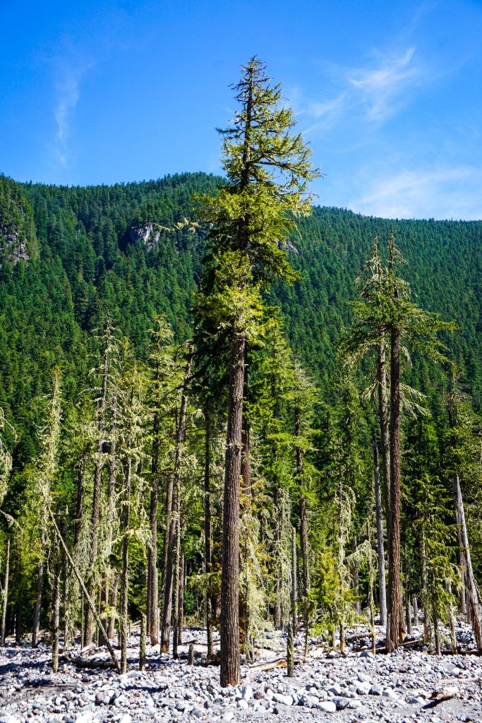
Amongst the raging brown waters and giant river rocks, towering pine trees over a hundred feet tall stood! These trees were beautiful and impressive in their ability to withstand water and floods. I had never seen an environment quite like it.
Once we left the Carbon River, we had a long gradual climb back up to Ipsut Pass and Mowich Lake. Fortunately, most of it was in a nice shady forest, although the final section had some humid brush to ascend through. Alex had plenty of time for multiple existential crises.
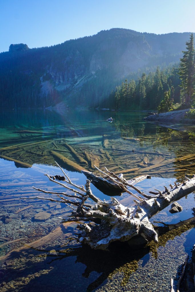
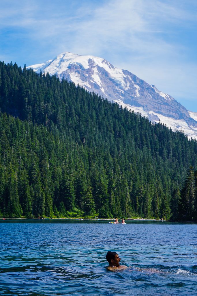
Once we got back to Mowich, we eagerly took off our shoes and jumped in the beautiful alpine lake to cool off. It was the perfect way to end the loop! Sauna then cold soak!
Kelly, Brandon, Alex, Daniel and I had a fantastic time on the Spray Park Loop. While there are certainly loops that spend more time in the alpine or cover more epic distances, this loop was just really approachable and enjoyable. With plenty of water sources, afternoon shade, and an alpine lake to finish, it was a great choice for a hot summer day!
Notes:
- The loop measured 18+ miles and 5,000 ft gain.
- While both directions have their pros and cons, counter clockwise definitely is better on a hot day.
- There are many possible side trips like Tolmie Peak, Knapsack Pass, and heading up towards Echo Rock.