Returning to the High Sierra
When people go down to ski the Sierra, they are usually skiing the Eastern Sierra. The easternmost mountains have up to 10,000 feet of relief and incredible ski lines straight out of the desert. But after a few days of skiing the eastside, we wanted to get deeper into the range, into the High Sierra.
While day trippers typically just farm the eastern most peaks, a minority of people come to do one to two week ski traverses through the High Sierra. Although our plan was only for day trips, I wanted to do one single day ski traverse to get similar views without a heavy pack. I had many different ideas, but ultimately settled on a traverse from the Palisades to Taboose Pass.
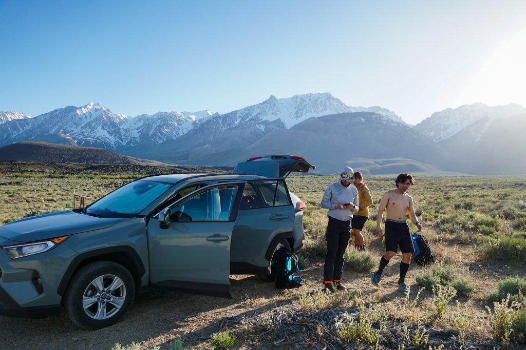
John, Rio, Logan, and I drove two cars towards the Taboose Pass Trailhead the night before. The road turned out to be absolutely awful, with giant rocks in the road. With a traverse, you have to drive a road section three times but only hike it once, so we figured that if our driving speed was under about 10 mph, we were not saving any time and might as well hike. We called it quits a few miles before the actual trailhead due to the terrible road condition.
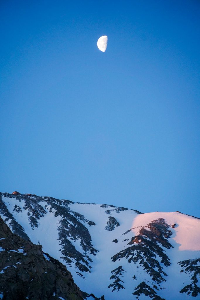
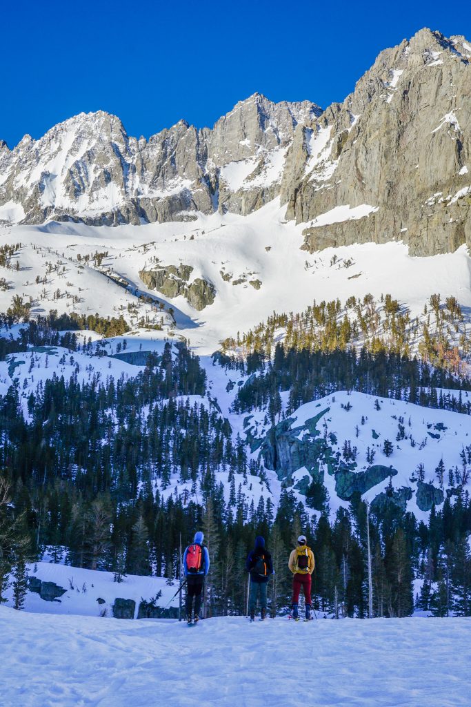
The next morning, we woke up and drove up to Glacier Lodge at sunrise. It was a cold, clear morning and we skinned up the south fork canyon as the moon set and sun rose. We even had a surprise encounter with our friend Matt, who was going out for a solo day.
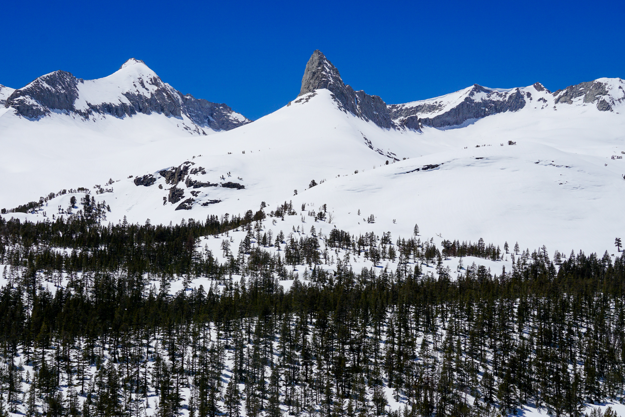
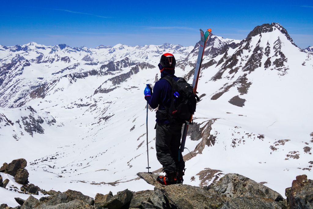
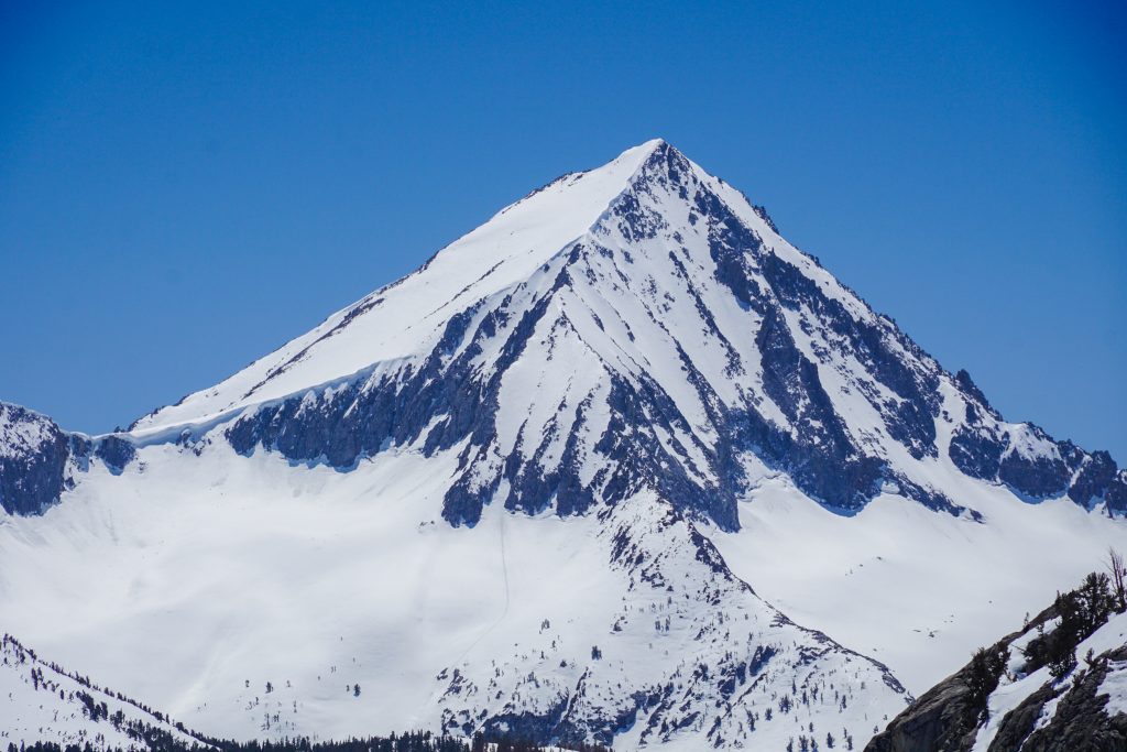
The deep snowpack made for easy travel up the valley to Willow Lake. We took a few moments just to gaze up at the giant peaks all around us – Middle Palisade, Norman Clyde, Mt. Sil. It was going to be a great day!
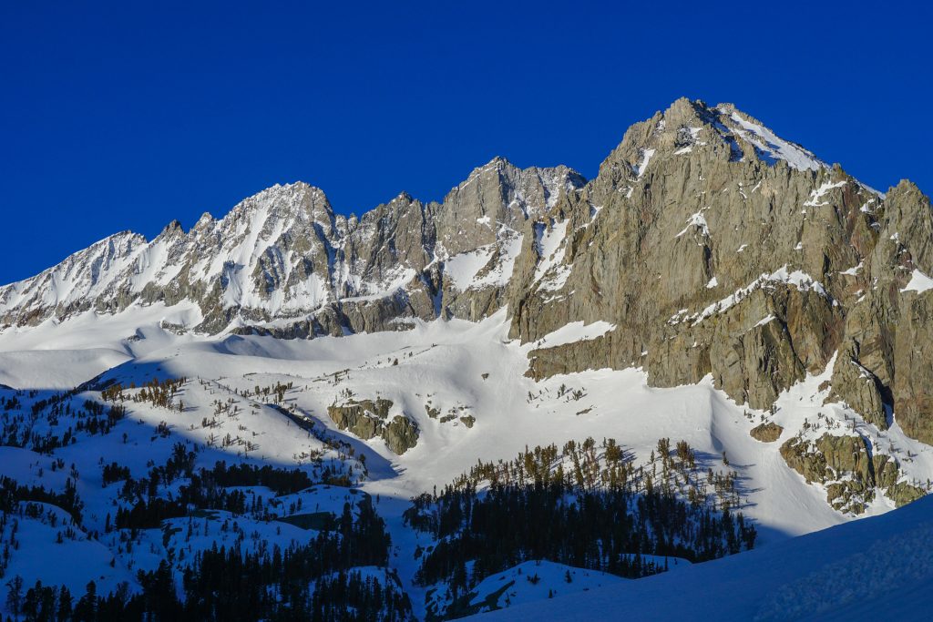
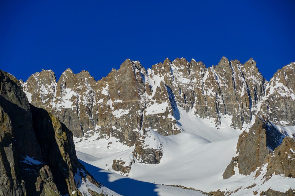
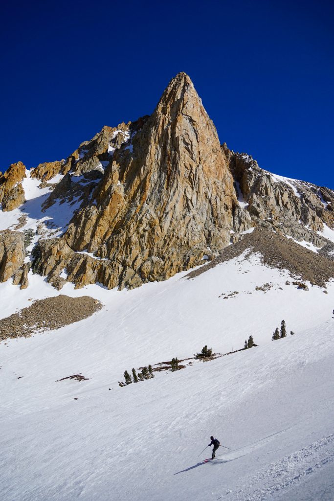
I had been here once before; in 2018, Kylie and I scrambled up Middle Palisade. The peaks here look even more incredible covered in snow. Middle Palisade is actually a test piece steep-skiing line. Our friend Matt had skied it a few weeks earlier.
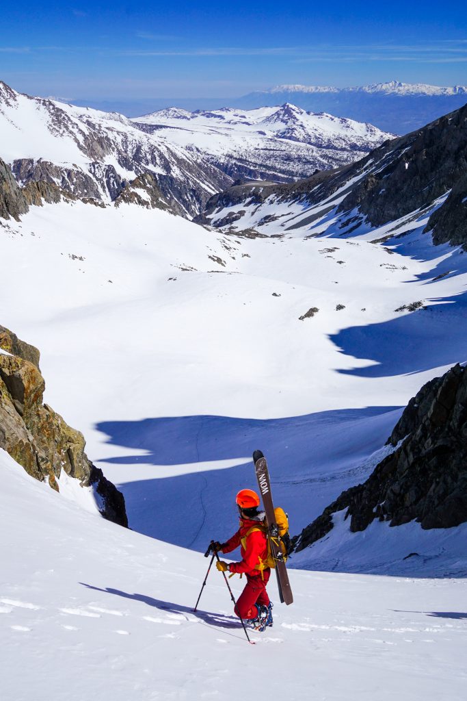
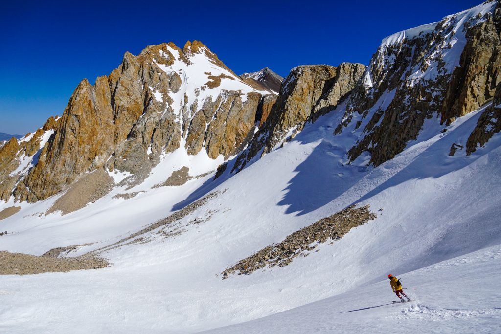
We made great time through the complex post glacial terrain towards Southfork Pass. There are actually still some active glaciers in the Palisades, the last in the High Sierra.
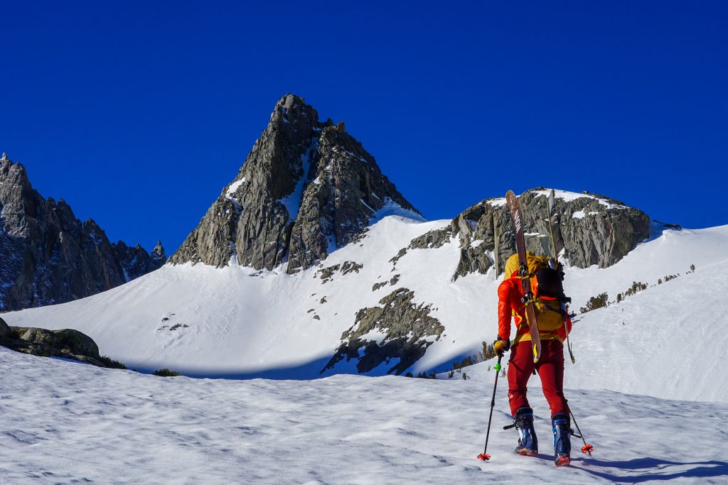
As we neared Southfork Pass, a cold wintery wind blew fresh snow across the landscape. We knew that the steep slope up to Southfork Pass might be a little wind loaded. We found about 8-12 inches of wind deposited snow, but fortunately the stability was good enough for us to pass.
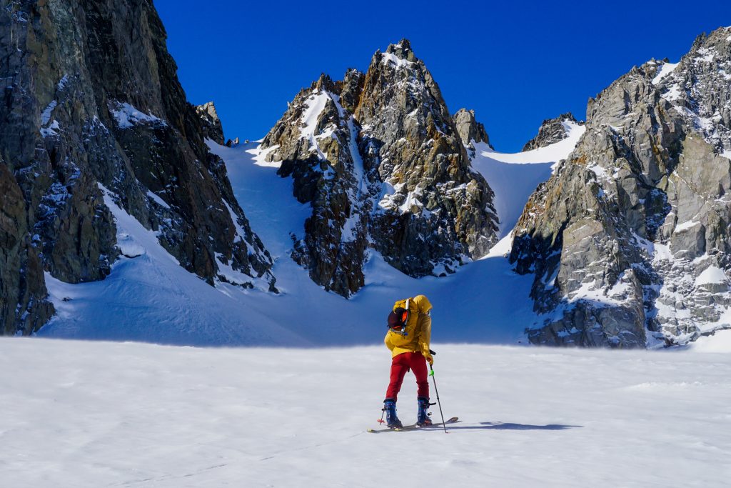
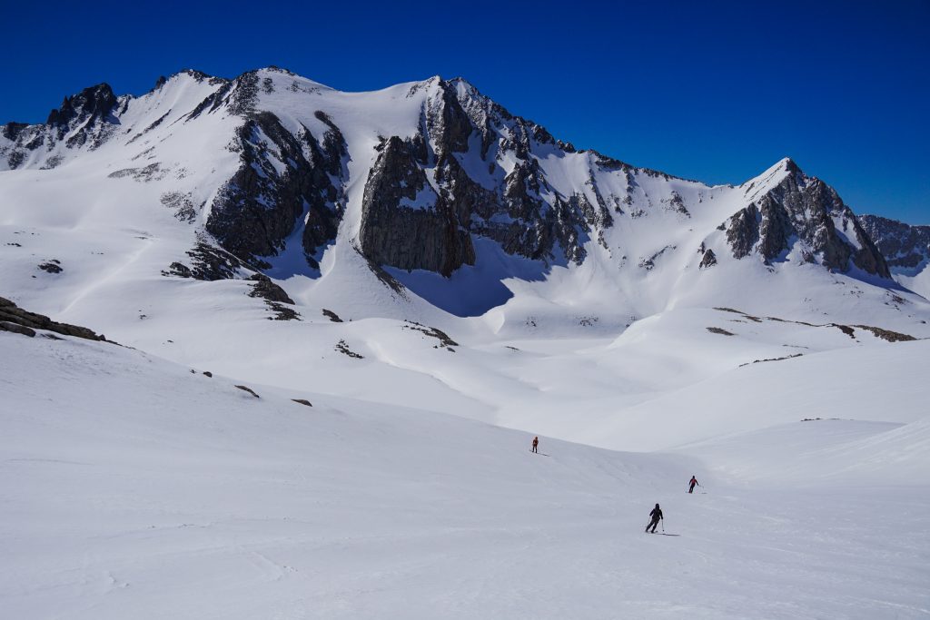
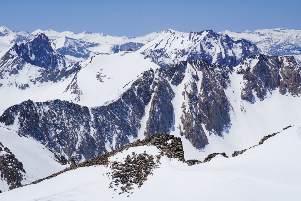
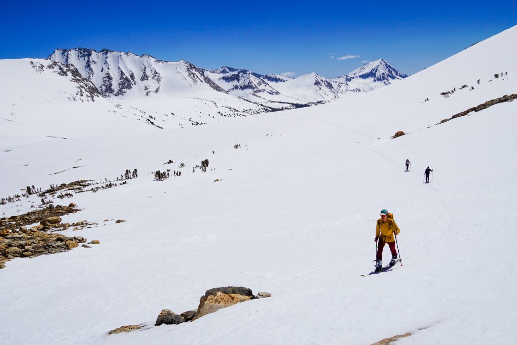
As we crested Southfork Pass, our world changed. We left behind the desert views and steep relief of the Eastern Sierra and laid eyes on an endless world of basin, peaks, rocks, and snow. Welcome to the High Sierra!
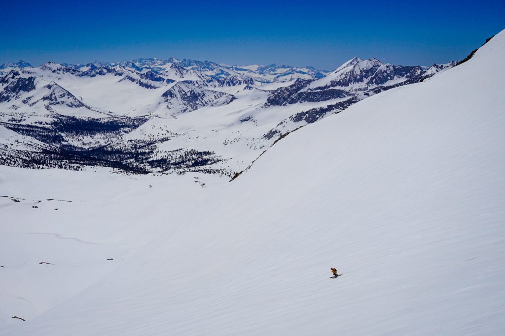
We skied an easy descent down into the basin to our south. The snow was surprisingly good – an inch of sun-warmed cream on top of a firm base.
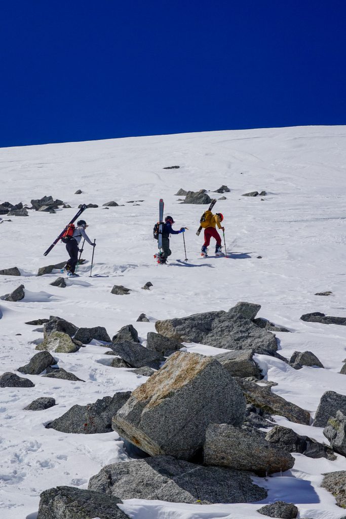
From the base, we began a long climb up over the west shoulder of Bolton Brown.
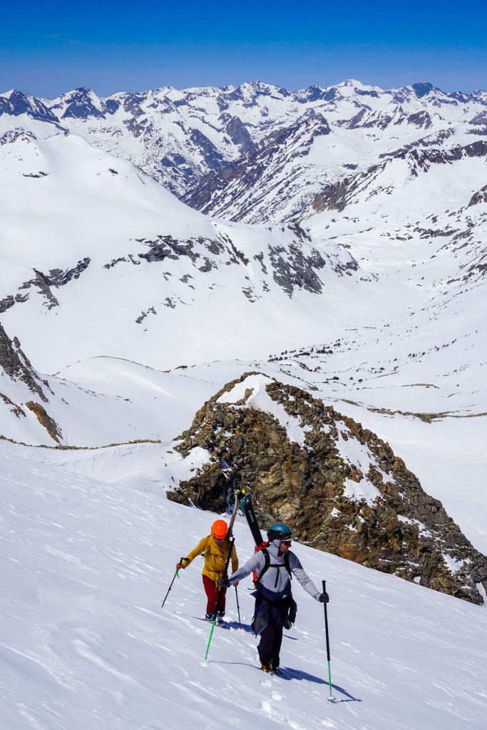
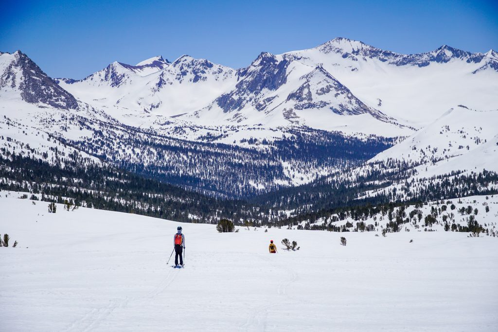
We crested the ridge around 13,300 ft, our highest point yet this trip. From this vantage, we could see north to the Muir Pass region and south into the heart of Kings Canyon. This was the endless sea of mountains I remembered from the Sierra High Route. But it felt completely different with the JMT, glistening lakes, and lush meadows all buried under deep snow.
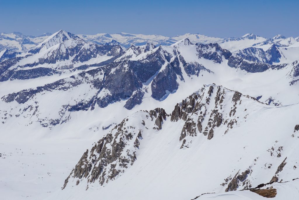
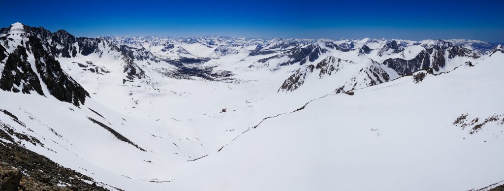
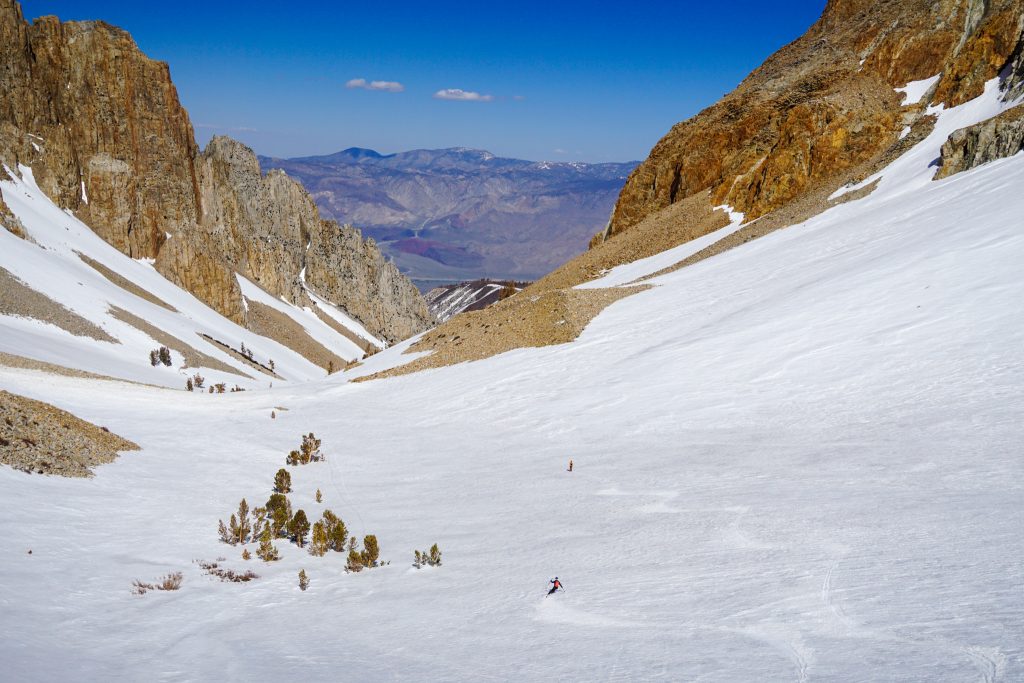
Our plan was to descend the massive basin to our south, following the JMT. From our vantage, it looked impossible – impossibly flat. But we believed it had just enough tilt to glide downhill. We were about to find out!
After the steeper bit up top, we began gliding along the JMT, down, down, down. It was possibly the longest ski run of my life – over 5 miles. There was some pushing and skating, but mostly just gliding. The scenery whizzed by us and slowly trees entered our view. It was not thrilling in the sense of a typical ski descent, but unique and wonderful in its own way.
After enough descending, we transitioned, rested in the shade, and began a long traversing climb towards Taboose Pass.
It was warm in the afternoon sun, but manageable. The incredible scenery around us made the long gradual climb very enjoyable.

Instead of heading directly over Taboose Pass, we wanted to ascend a south facing line on Cardinal for some bonus skiing on our way out.
We began booting up Cardinal, but the snow became deep mush partway up. We saw no need to continue, already satisfied with our day.
With expectations of poor skiing, we traversed to the left and suddenly found a hidden gully. Here the slope did not have any fresh snow and skied like good corn!
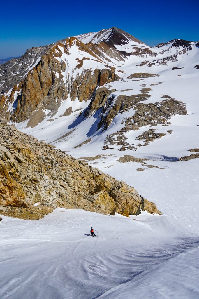
As we began descending to the east from Taboose Pass, we found shockingly good snow. We expected this eastern aspect to be cooked, but the steep cliffs had sheltered it from too much solar input. We skied pitch after pitch of good corn, and it felt like the snow just got better the lower we got.
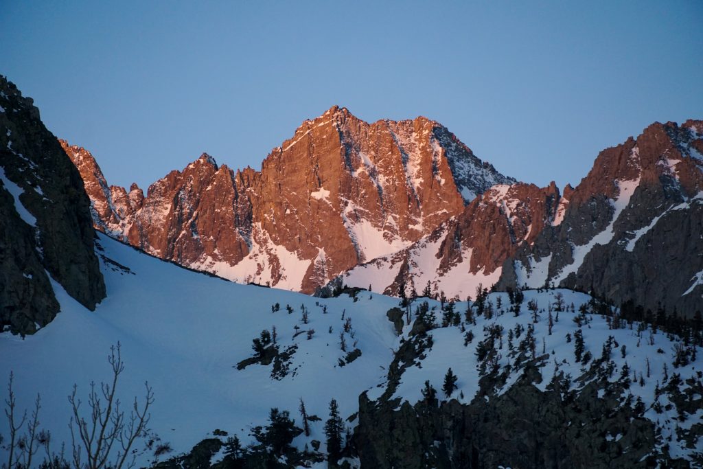
Epic granite spires towered over us from all directions. The scenery was this incredible mosaic of orange, gray, and white. This canyon is incredible!
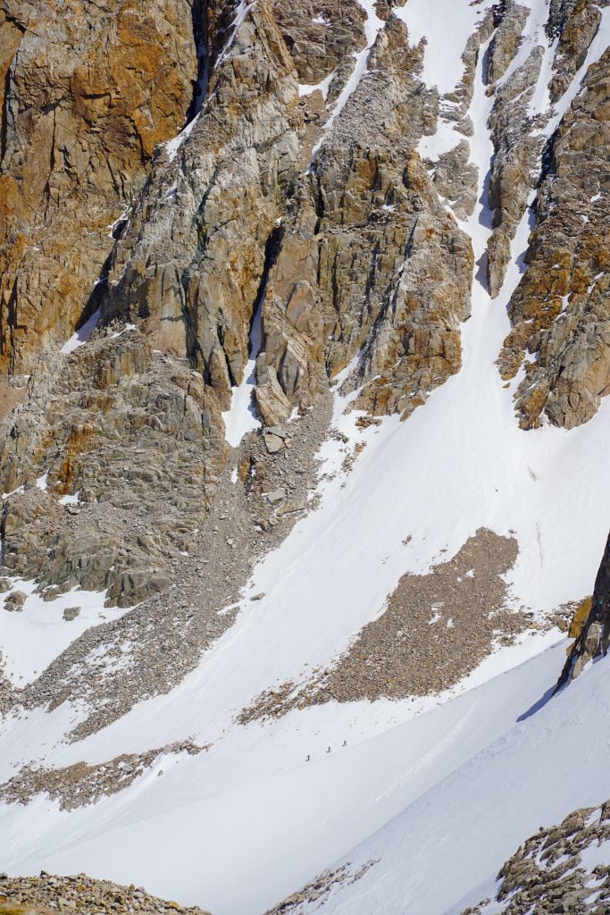
Eventually the snow did start to deteriorate. Lower down, the canyon just became an un-skiable mess of rocks, trees and avy debris. Some giant avalanches had ripped down this canyon earlier in the winter. While there was continuous snow down to 6600 ft, we stopped around 7200 ft and joined the hiking trail so we would not subject our skis to further abuse and/or fall in a creek hole.
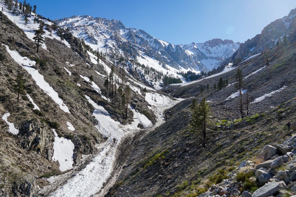
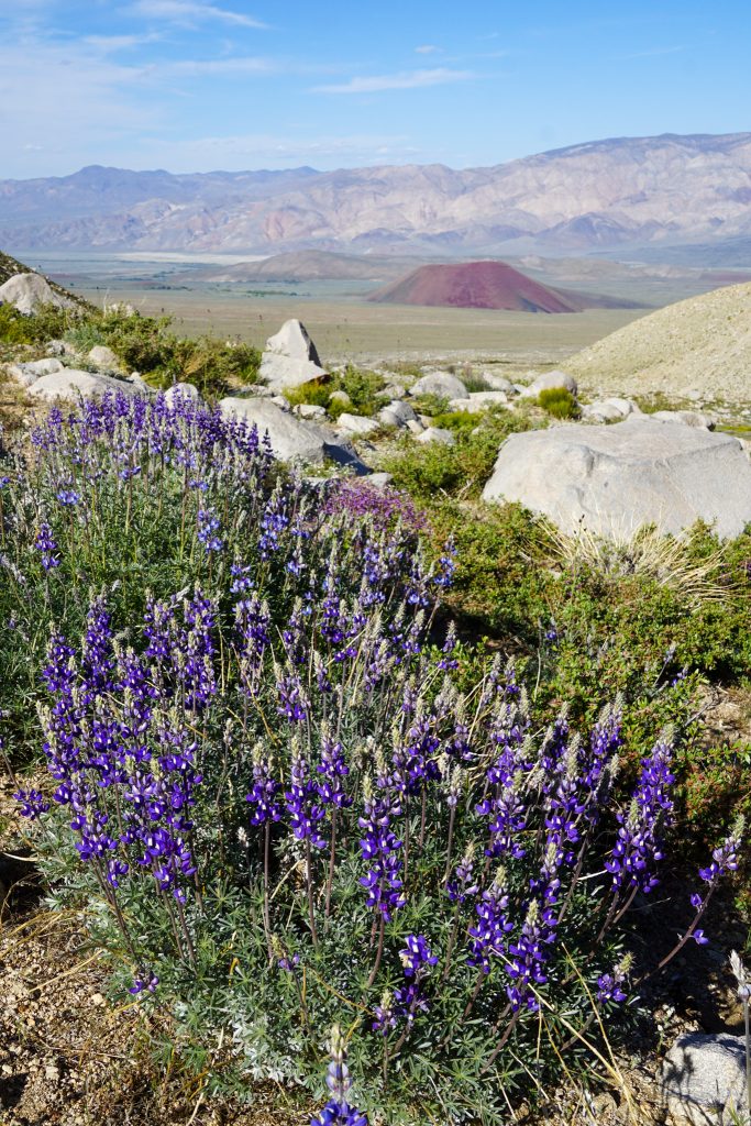
With skis and boots on our backs, we now just had to go down, down, down. Out of the alpine, leaving behind snow, and the magical world of the High Sierra. Back into the desert, to blooming lupines, sagebrush, and the thick air of lower elevations.
Once we reached the trailhead, we still had another two miles of hiking to reach our car. From our highest point on Cardinal, we had descended about 8000 ft to the valley floor! We were nearly 9000 ft lower than our highest point of the day!
While skiing the Eastern Sierra gives you the most bang for your buck, part of me lusted for the feeling of being lost in the sea of granite and snow in the High Sierra. This traverse fulfilled that desire. It was awesome to share it with Logan, Rio, and John. It felt great to be back in the High Sierra, a place that is very special to me, even if it was just for a day.