The Alpine Lakes Classic
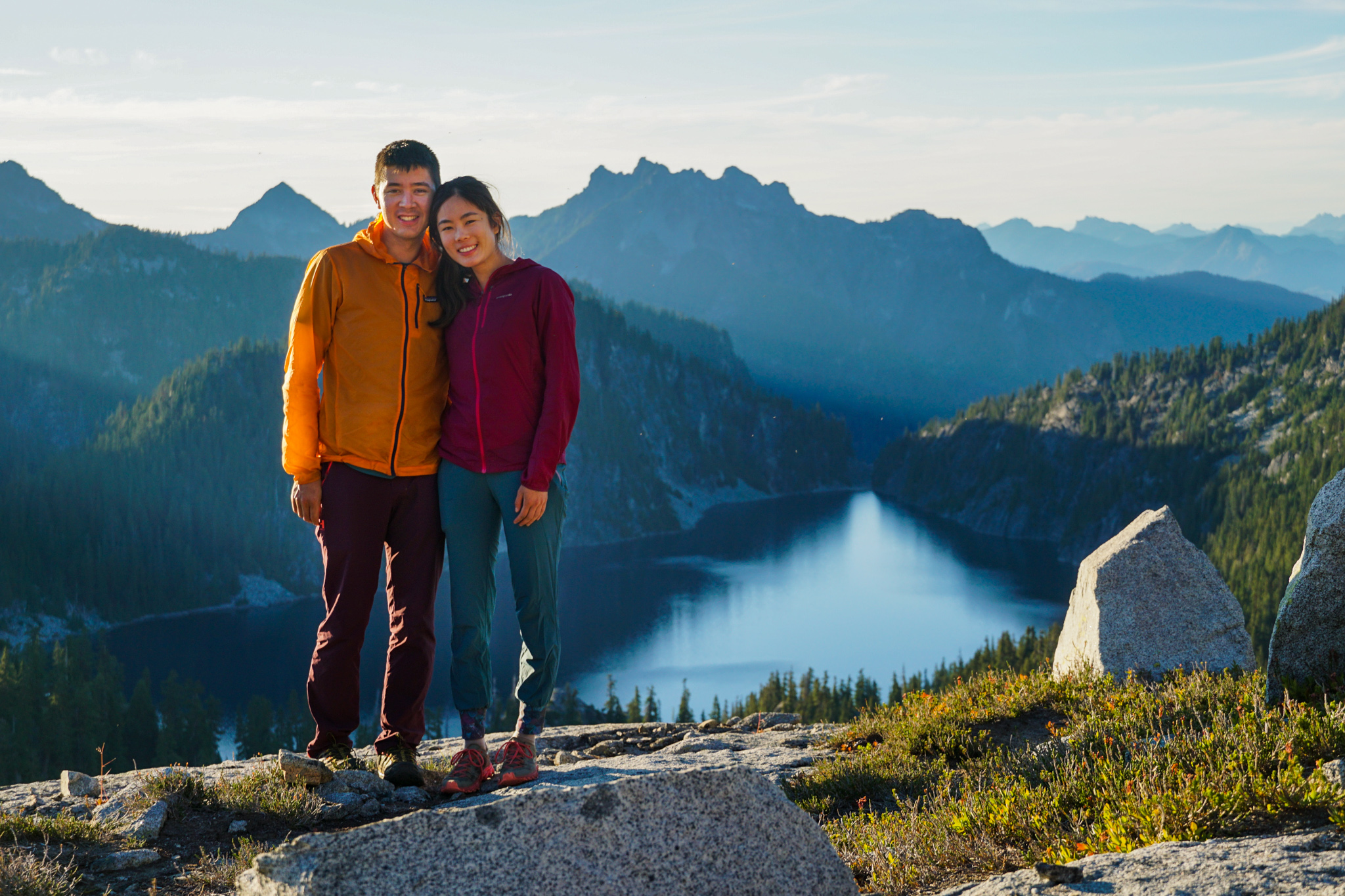
The Alpine Lakes High Route, or more accurately the Foss Lakes Loop (technically the full Alpine Lakes High Route starts at Lake Dorothy, but most people call the Foss Lakes Loop the Alpine Lakes High Route), is arguably the most classic high route in Washington. Despite its classic status, I actually had never done the entire high route (I overlapped with much of the high section when doing Big Snow to Iron Cap from the Middle Fork Snoqualmie). Kelly expressed interest in trying the Alpine Lakes High Route, so we decided to do it as a one night backpacking trip.
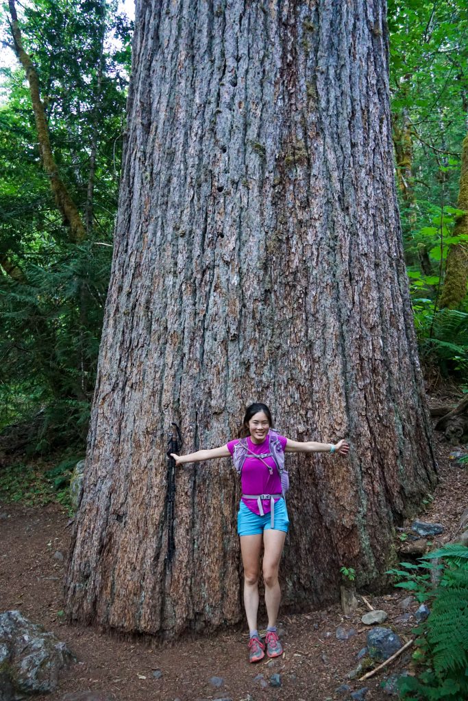
The West Fork Foss trail was new to me. I was blown away by the giant tree a little before Trout Lake. It was the largest tree I have ever seen in real life! It must have been 12 or more feet across!
At Trout Lake, we ran into one of Kelly’s old co-workers, who was out backpacking with two of his kids! We had a good conversation and I amused the kids with an attempt to climb the boulder at their camp.
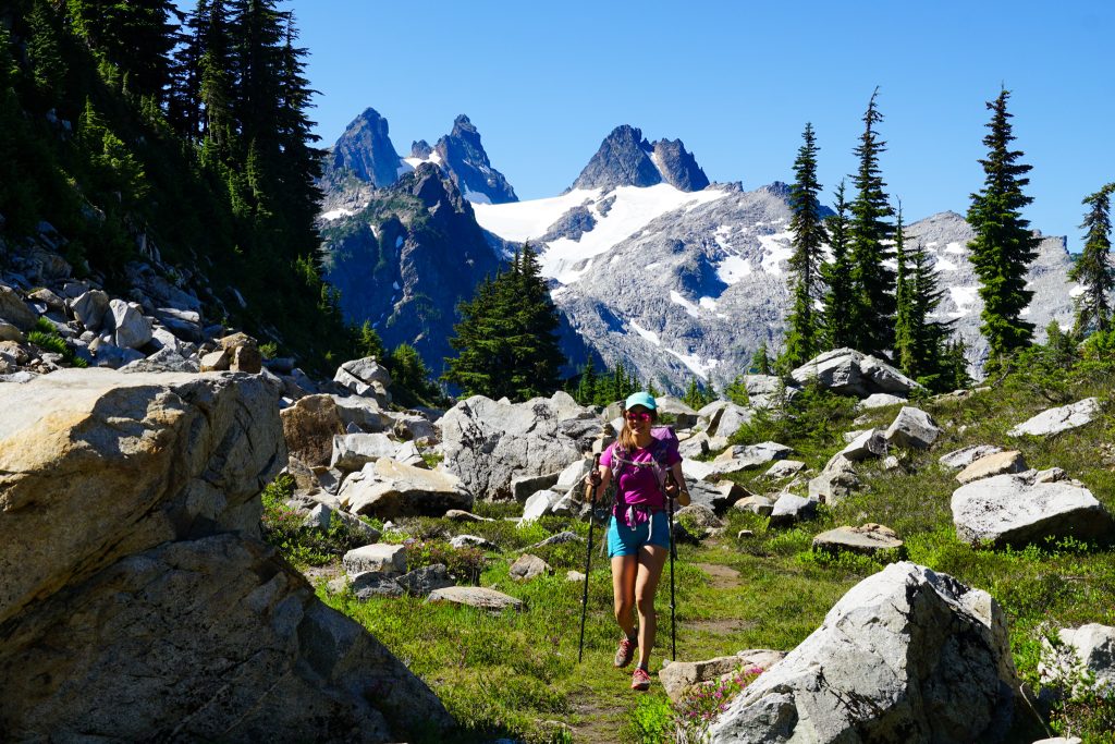
The climb up to Copper Lake was hot and exposed in the morning sun. Both forks of the Foss have very rooty, rugged trails.
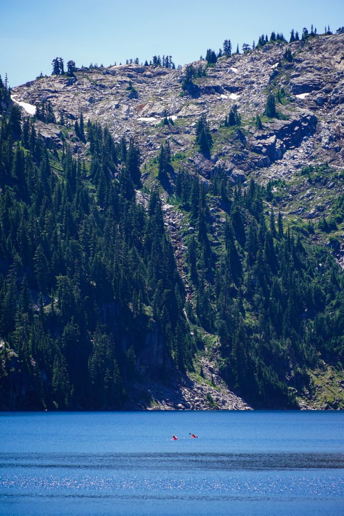
We passed many backpackers around Copper Lake. A group of four passed us very quickly. We would end up yo-yoing with them perhaps another dozen times over the next two days!
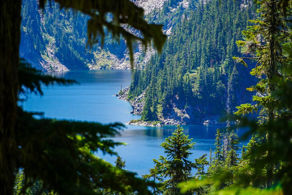
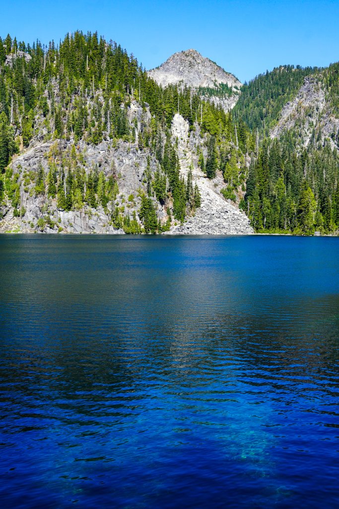
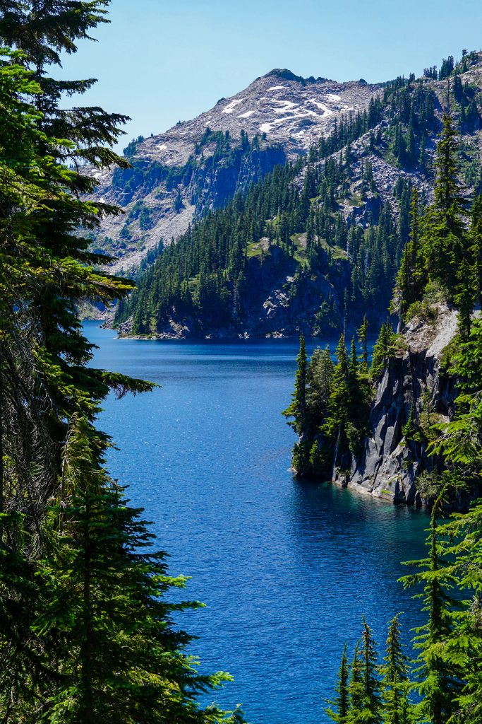
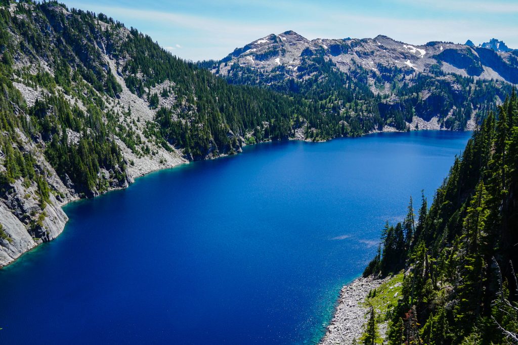
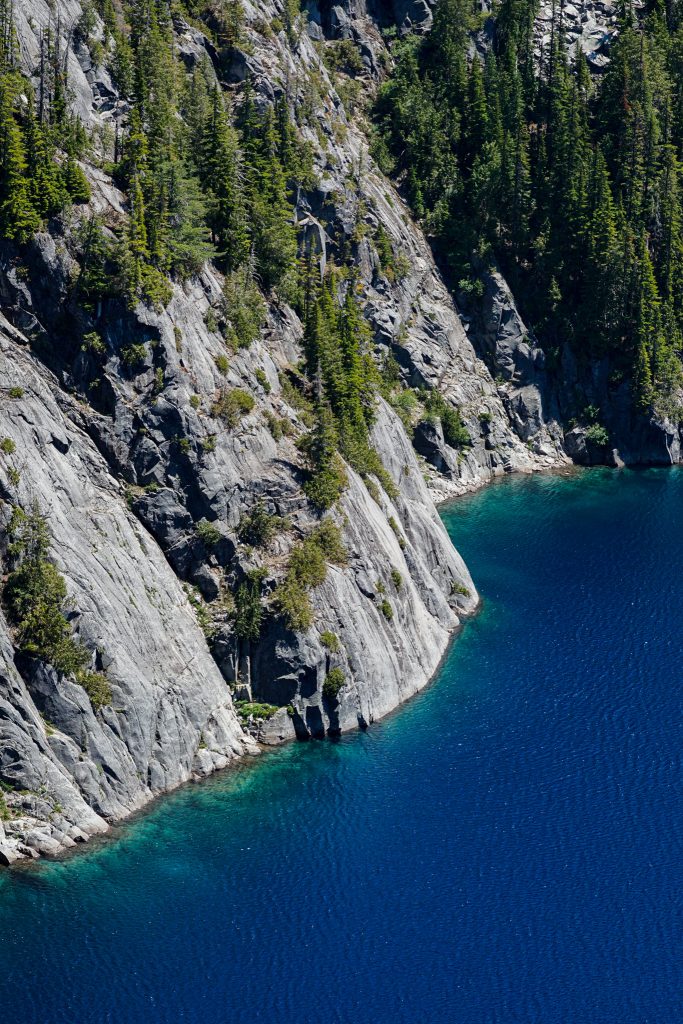
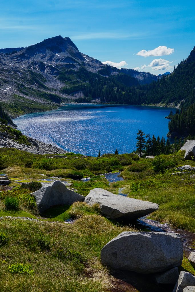
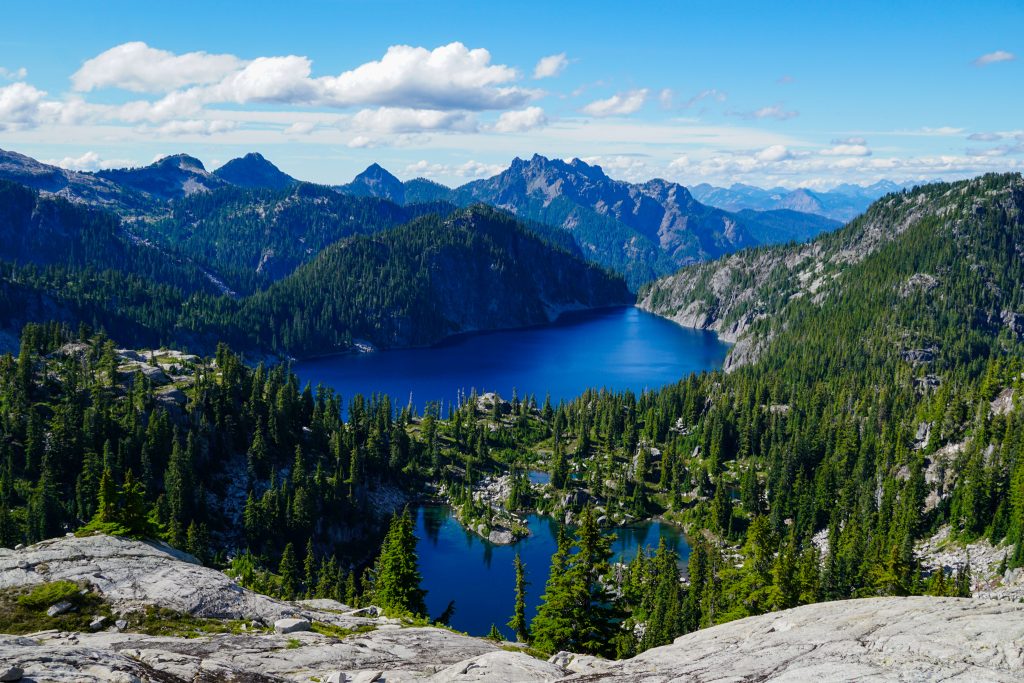
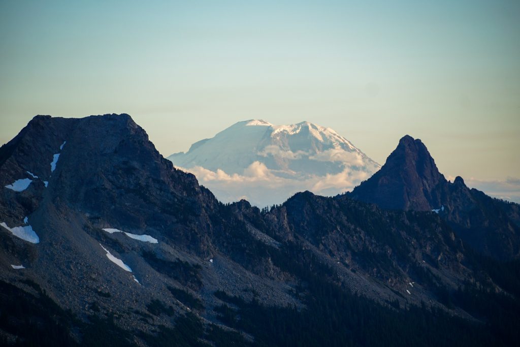
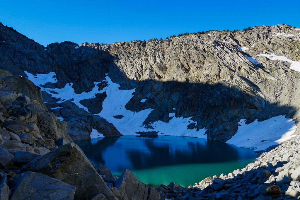
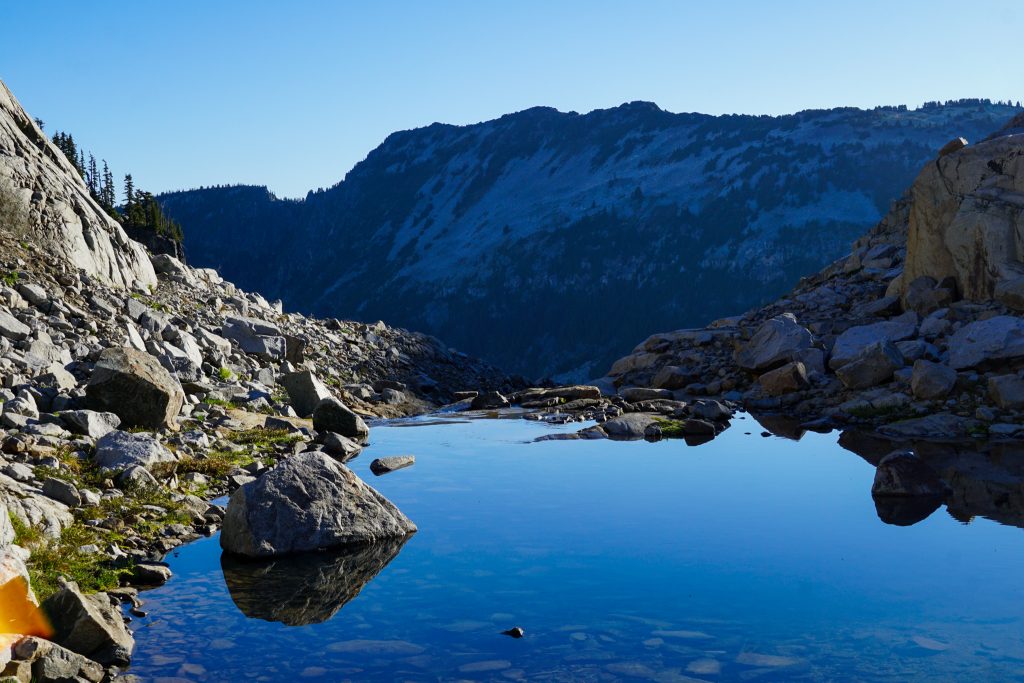
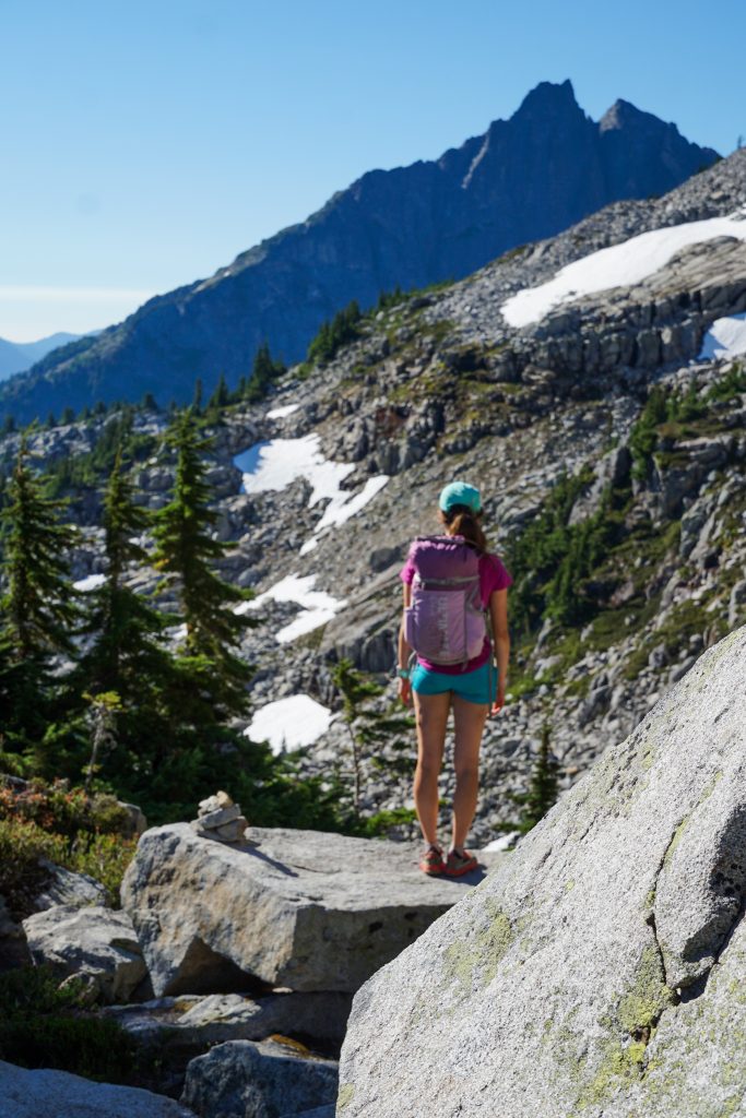
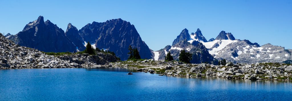
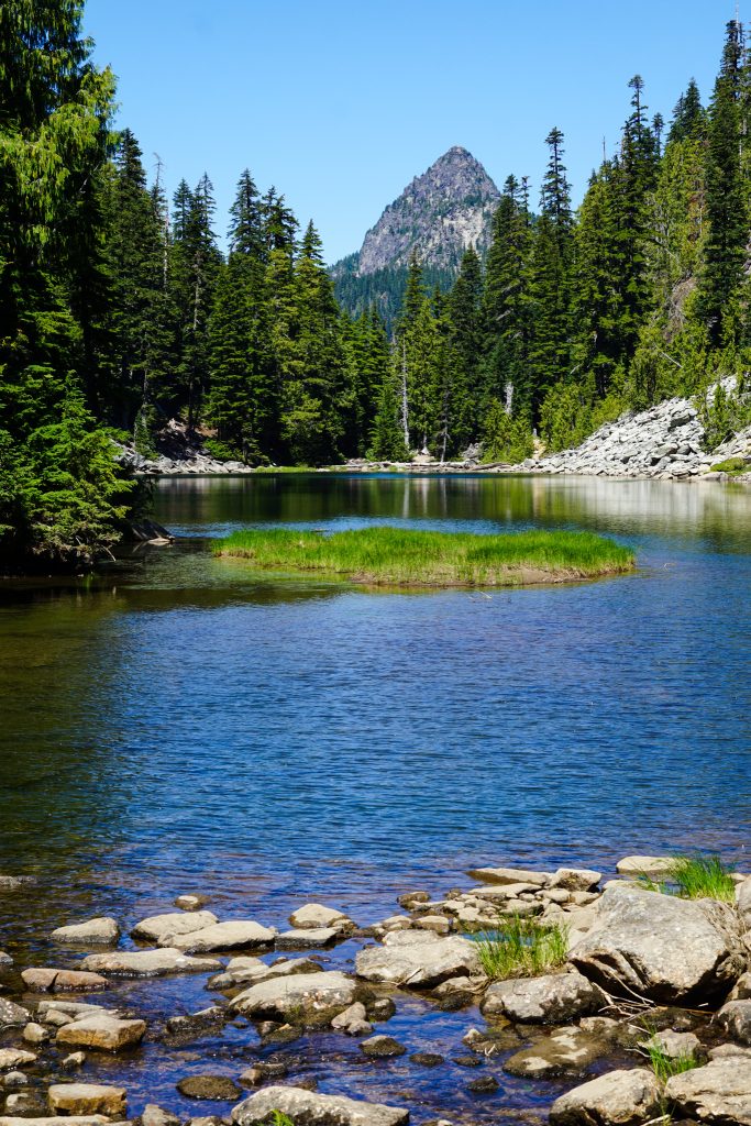
Each of the lakes was a classic Alpine Lakes Wilderness lake – deep, blue, lined by granite boulders, rugged cliffs, and green trees. I am not sure which lake was the most “quintessential” alpine lake, but each could be worthy.
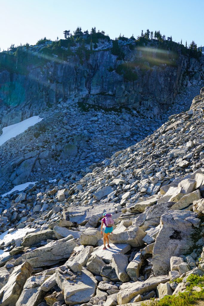
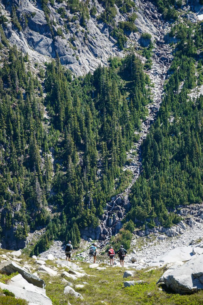
We stopped for lunch at the outlet of Big Heart Lake. After this section, the official trail ends and the terrain becomes a bit steeper and more challenging. We had multiple parties warn us about the difficulties of the high route on our hike up to this point. One particular guy was going on and on about how challenging Iron Cap is and how cool he was for climbing it. I was nice and let him talk for a while but when I got tired of listening, I told him that I had already been up Iron Cap before. What I did not tell him is that I had already done an off trail section from Big Snow to Tank Lakes twice as long as this high route – in a day.
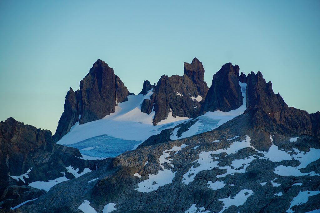
Kelly began to melt in the midday heat through the steep, occasionally loose section between Big Heart Lake and Lake Angeline. I had never done this section before and was really impressed with the steep cliffs all around Lake Angeline. I wonder how deep some of these lakes are!
Down near Chetwoot Lake, we joined with the Big Snow Iron Cap route I had done previously. Somewhere on the next climb, the group of four zoomed by us again! They had taken a break at Chetwoot so we had passed them briefly.
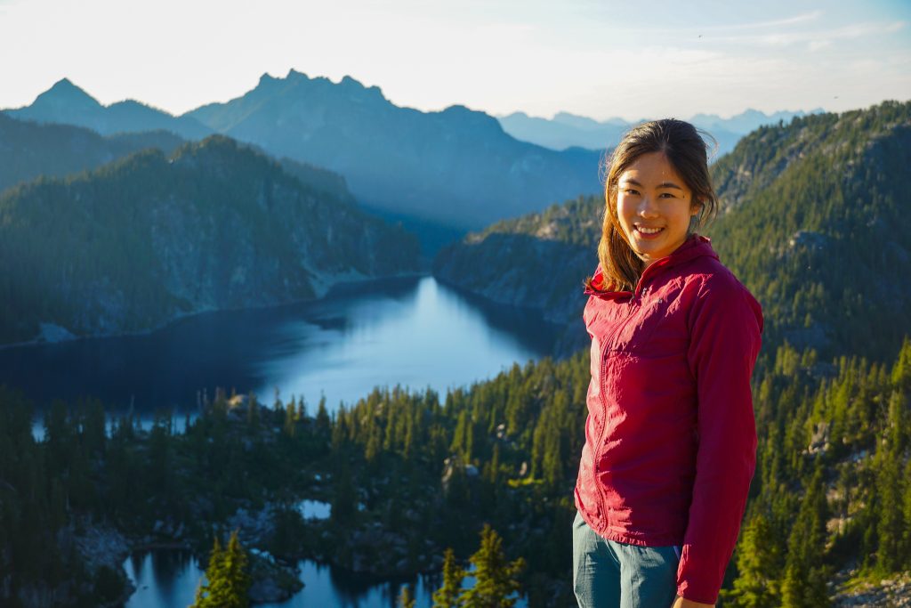
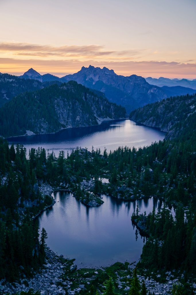
At the pace we were going, it would be a long day to reach Tank Lakes. So we decided to make camp on a knoll above Azure Lake and Lake Angeline. It was a beautiful spot, and felt surprisingly remote.
We napped through the late afternoon before making dinner and enjoying golden hour. The mosquitoes were swarming, so we made the photo shoot a quick one.
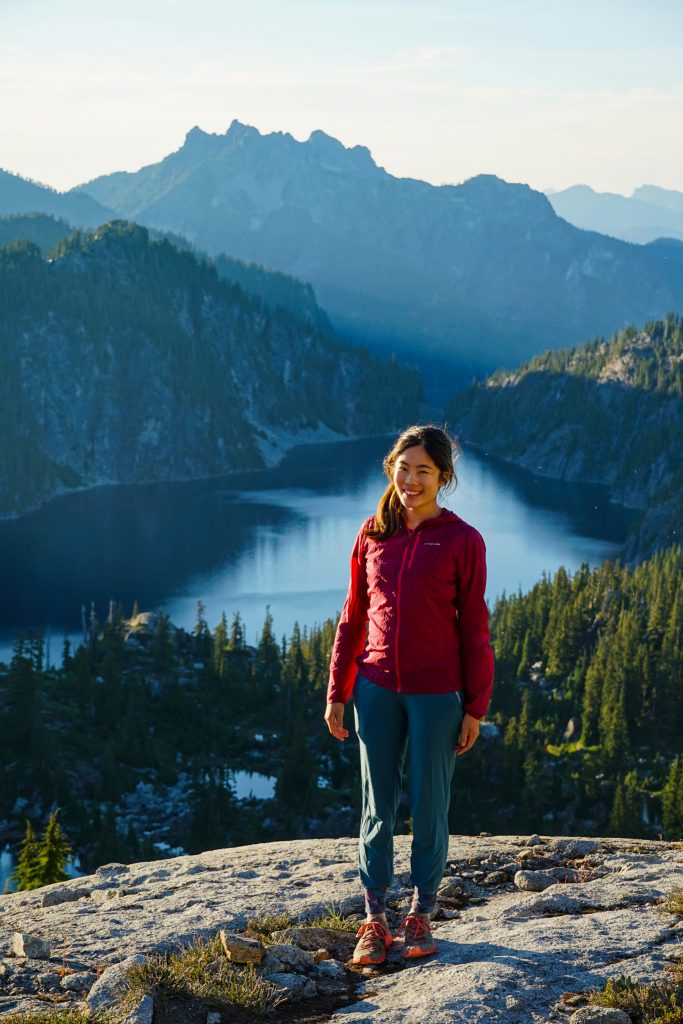

Kelly returned to the protection of the tent, while I escaped the mosquitoes by scrambling up to the ridge to get a view down into the Middle Fork Snoqualmie Valley.
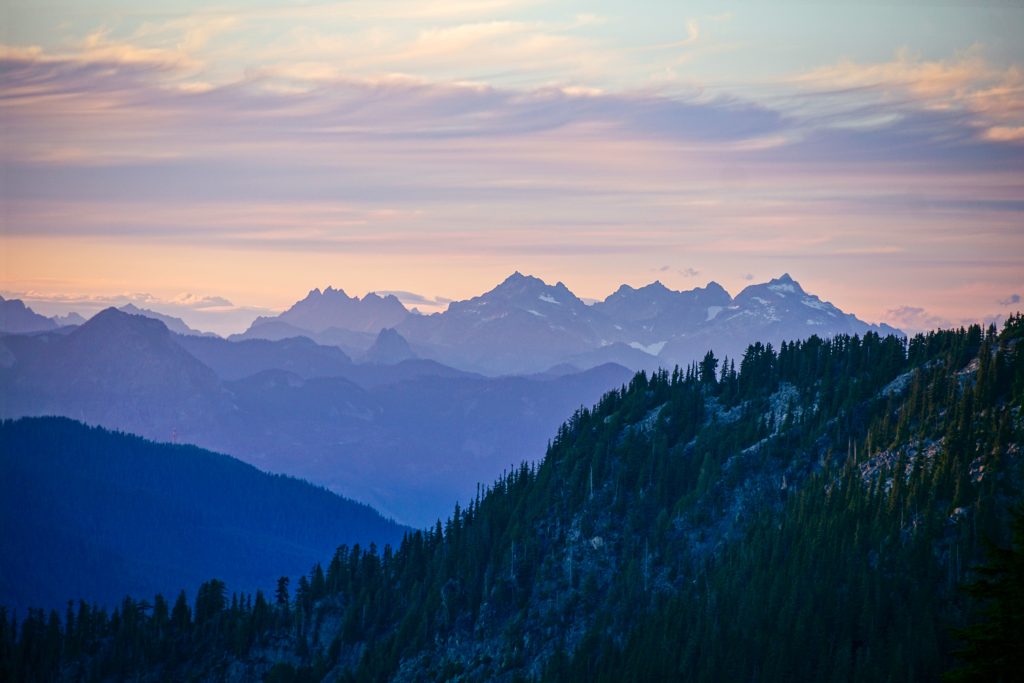
And then I made a gentle descent back down to camp, watching the soft colors in the northern skies.
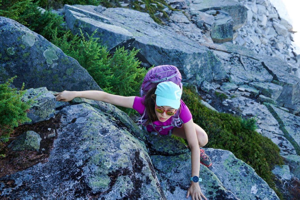
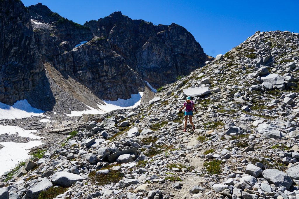
We began the next morning with the most infamous section of the high route: the relentless boulders past Iron Cap Lake and over to Tank Lakes. Fortunately, Kelly handled the boulders quite well. Unfortunately, the mosquitoes were truly relentless.
From Iron Cap Lake, we climbed up to about 5850 ft, before dropping steeply down to get through the crux. Even though I had done this descent once before, there are many false trails so we looked for cairns carefully to avoid any real bushwhacking.
After rounding the corner, it was a little easier getting over to Iron Cap Gap, although there were still a few ups and downs. We passed a solo man going the other way with a single croc on the outside of his pack. He said he had found it on the trail. We mentioned how our friend runs 100 mile races in crocs and he responded, “Oh yeah, I just read that article in the Seattle Times“. Joel is famous!
Once we reached Iron Cap Gap, we found a much nicer trail leading to the Tank Lakes. Kelly was relieved to get through the bulk of the off trail!
We reached the Tank Lakes around midday and the lakes were surprisingly quiet. But as we were taking a break, the group of four appeared and passed us yet again! They had made it all the way to Tank Lakes the night before but then had a leisurely morning.
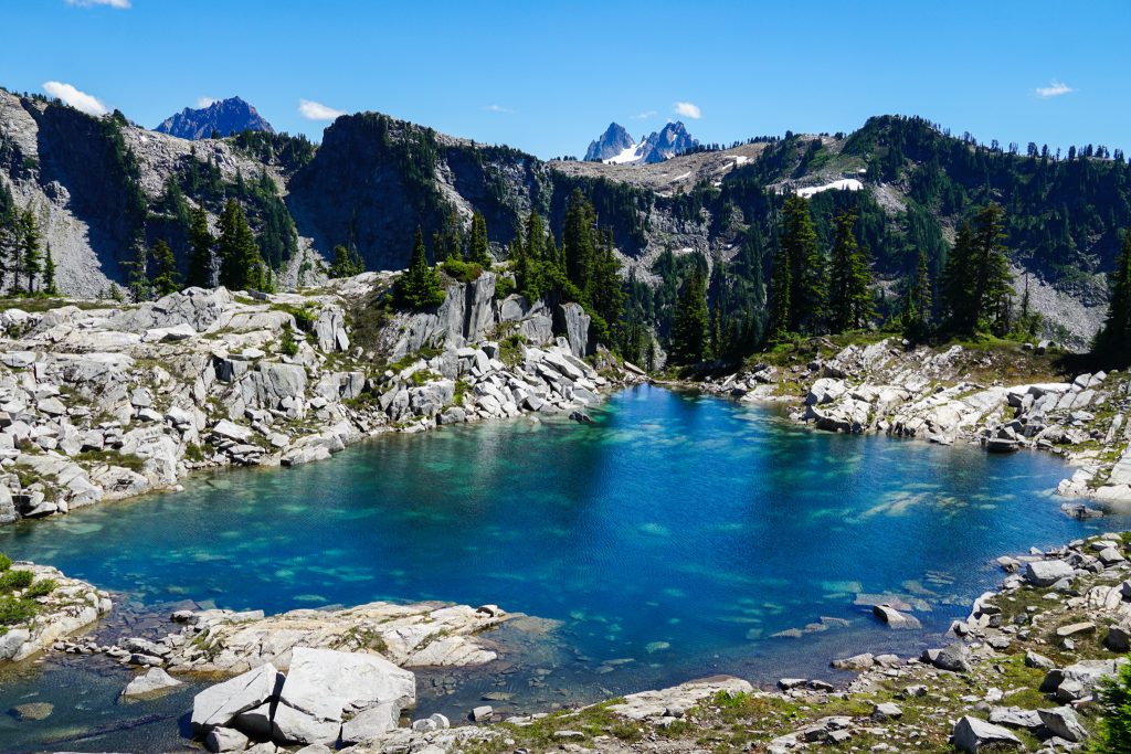
Neither of us had done the section from the Necklace Valley to Tank Lakes before. On a map there is a “trail”, but this section is actually more “off-trail” than the rest of the high route! The descent follows the lateral moraine of a surprisingly large 19th century moraine beneath La Bohn Peak. It is loose and annoying, and will likely stay that way despite the amount of traffic it receives.
After expecting a nice trail from the Tank Lakes, Kelly was heartbroken by the rough loose moraine leading down to the Necklace Valley. I had warned her that the next few miles down the East Fork Foss Trail were rough, as I discovered when doing Hinman eight years ago. But she was still crushed by the steep, rooty trail.
When we passed a nice waterfall and pool, I joined the group of four sitting in the water to cool off. This rejuvenated me, but Kelly was on a death march to the valley bottom. When we finally reached the flat valley trail, she began to feel much better and was able to enjoy the walk out.
Upon reaching the East Fork Foss Trailhead, we were still 2.5 miles from our car at the West Fork. I dropped my pack and jogged over to retrieve our car. Right when I got back, the group of four popped out at the trailhead. They asked for a ride back to their car and were very appreciative when I shuttled them back, performing a double shuttle! Great timing for them!
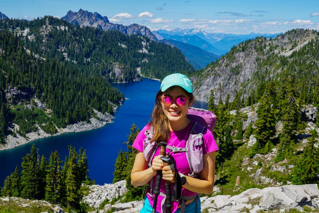
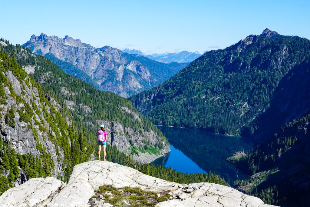
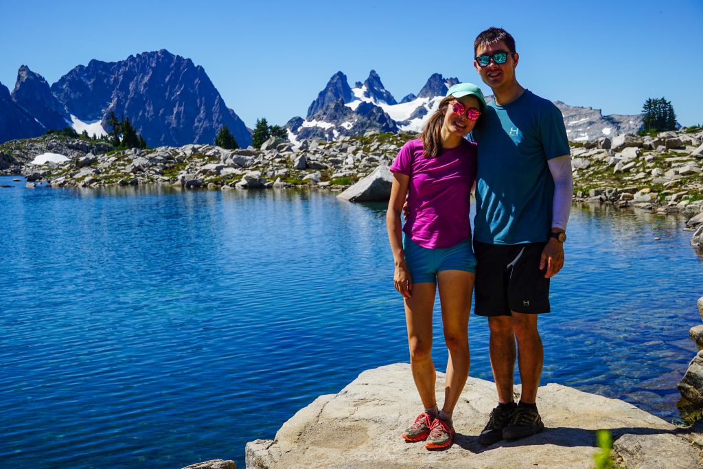
The Alpine Lakes High Route was Kelly’s first high route and she handled it well! The Alpine Lakes Wilderness is perhaps the most dense area of the Cascades – look at a map and you will see there are just endless little nooks and crannies to explore. This classic high route captures the beauty and complexity of the Alpine Lakes Wilderness wonderfully!
Notes:
- Including the road section, I measured 29 miles and 8400 ft gain. However, this route is more challenging than the stats suggest. The trails are rugged and slow, and the off-trail, while not that difficult technically, is never easy.
- There is only a handful of sections harder than class 2, but there is a lot of boulder hopping.
- Cairns mark much of the route, but you still need to have good route finding skills to attempt this route.
- After our camp, the next viable camp spot with water was a little before Iron Cap Gap.
Thank you for the write up!
Great write-up! I’ve been looking at doing this route for a few years and don’t want to attempt it solo the first time for obvious reasons and ideally with someone who’s done it before. A couple questions, I’ve seen a couple of GPS track options, one is up and over Iron Cap itself (looks like a ridge traverse from west to east beginning somewhere out of Chetwoot; or, the more common track of a lower route below Iron Cap peak — which based on the topo, looks like it has a very steep sloped side-hill section before gaining the route/trail into tank lakes. Can you describe either route, which you took and if the lower route, how treacherous is the low route below Iron Cap?
My second question is I’ve been intrigued for years on hiking up and thru the La Bohn Gap down through Lake Williams and out the middle fork snoqualmie; or over Dutch Miller Gap to Lake Ivanhoe and down to Waptus and out by Cle Elum. The only section of this route that’s given me pause is the route up the waterfall to the La Bohn Lakes (you have a picture of the 4 hikers here). I don’t worry about doing this waterfall with a light day pack, but with a 40 lb pack it’s given me pause. I’m in very good backpacking shape, but also know someone was killed on this route a few years ago — hence the question.
Thank you!
Jeff Dirks
In this trip, we did the lower route. In a previous trip, I did the higher route – see https://climberkyle.com/2021/09/01/big-snow-iron-cap-high-route/. Both are class 3 so I wouldn’t say one is harder than the other, but it is more gain to do the higher route. Definitely worth it if you have the time.
Someone was killed on the waterfall section? I did not hear about that. If coming from Iron Cap, one alternative would be to follow benches on the south side of La Bohn Peak from just south of Tank Lakes over to the Chain Lakes. I’m not totally sure of the route you are describing, but perhaps that could be a helpful connector.