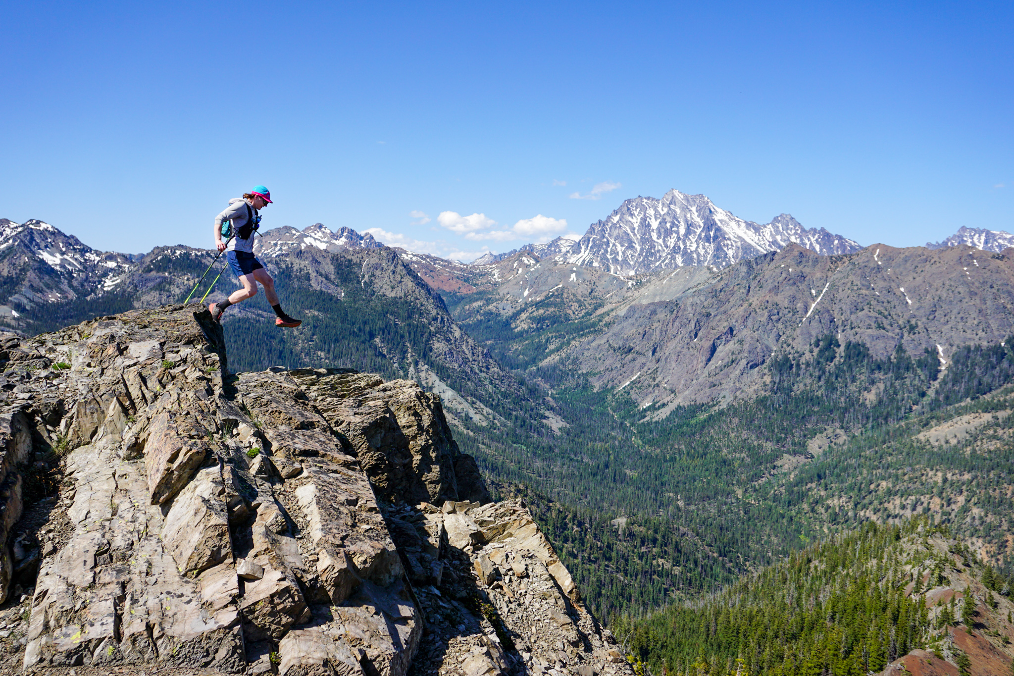
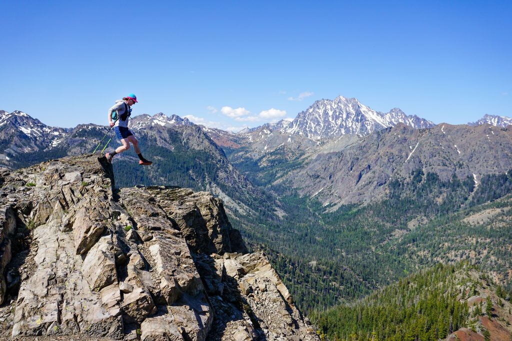
Back on Ridge Time
The Teanaway sees heavy use during the early summer months because it melts out earlier than much of the Cascades and has a sunny, dry climate. The Teanaway Traverse is a classic early season favorite of mine. But majority of the use is concentrated in the North Fork Teanaway. After many visits, I still had yet to explore the West and Middle Forks.
My friend Steve always spoke highly of the ridge from Yellow Hill to Jolly. Looking at a map, I figured I could continue over Skookum and The Louvre to De Roux, just like I did this winter on the Slammin Salmon Traverse. Caltopo showed faint trails all the way back to the Yellow Hill Trailhead via Koppen Mountain. I asked Steve about this and he said he had done the loop himself and it was fantastic!
My weekend plans were hatched pretty last minute so it appeared I was going to roll solo. But during a Friday evening round of Splendor, I convinced Jack to join me on an early season adventure run. So we met up early the next morning and drove out to the Middle Fork Teanaway.
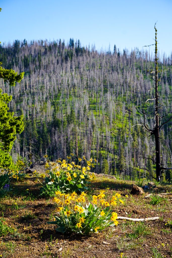
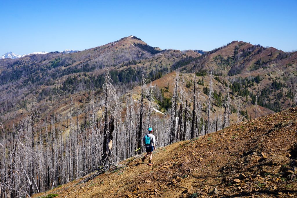
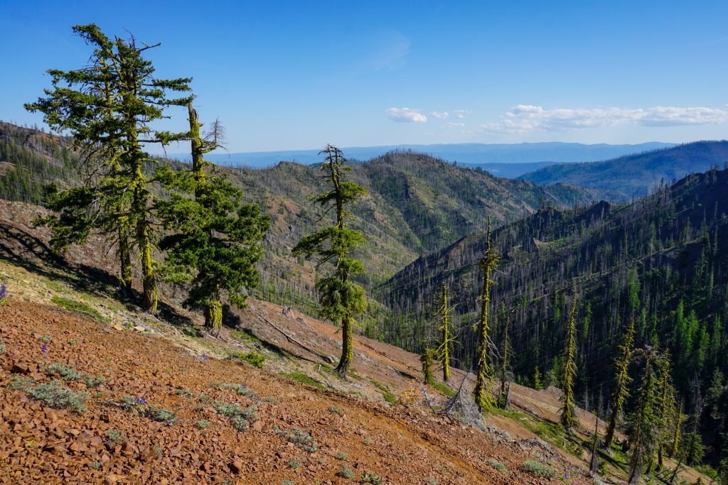
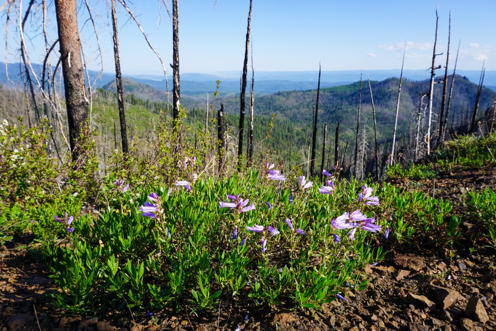
Although sunny, it was fortunately a cool morning as we began up Yellow Hill. Much of this loop travels through the massive burn of the 2017 Jolly Mountain Fire. I would not want to do this route on a hot day.
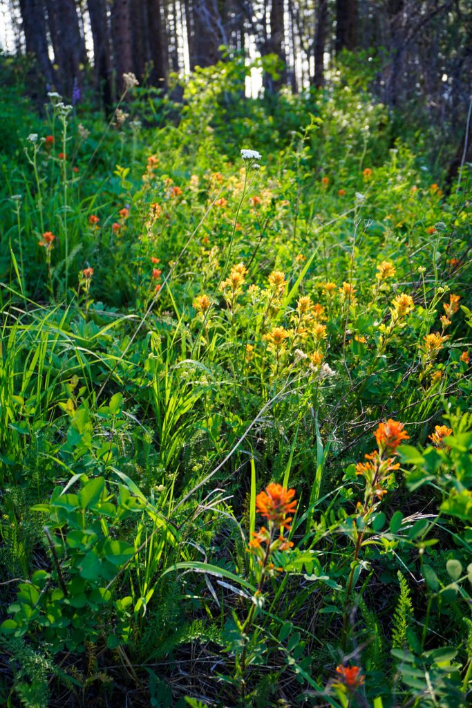
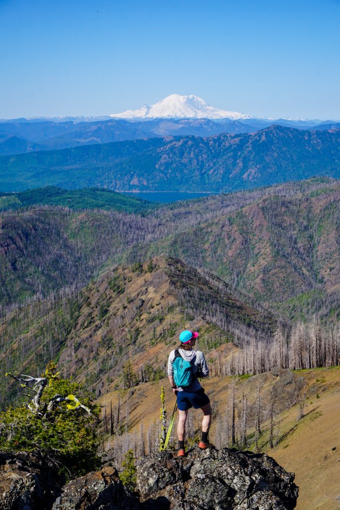
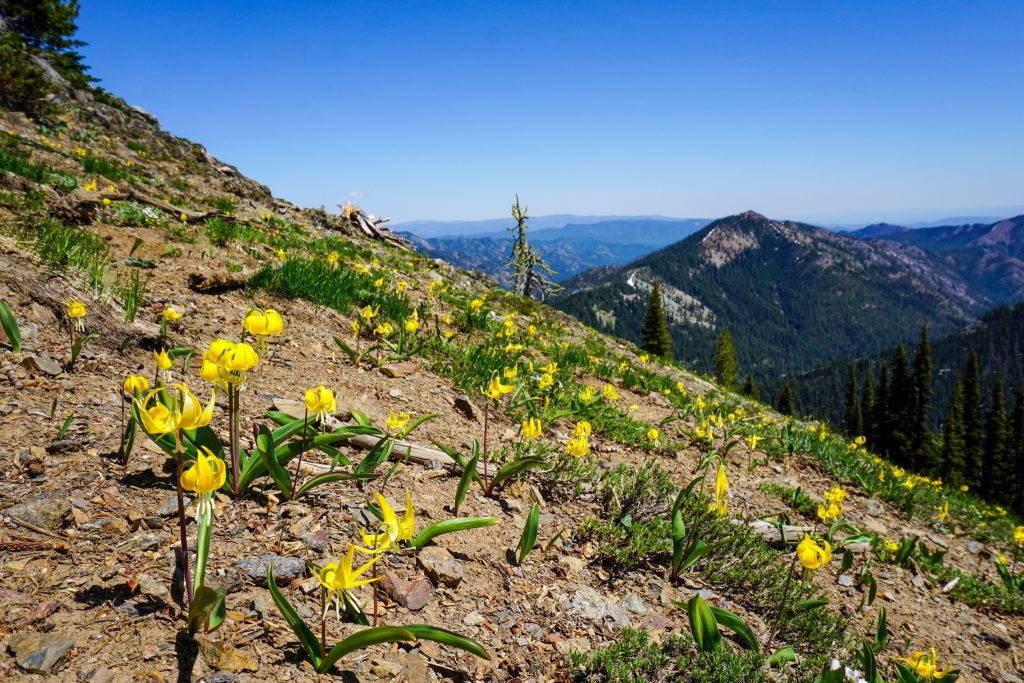
The forest floor was covered in lush green growth and plentiful flowers. Yellow Hill is further “out” of the mountains than the typical Teanaway hikes. Thus, we just had pleasant views of the Cle Elum valley and a distant snowy volcano.
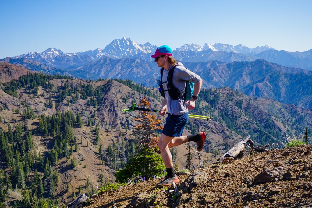
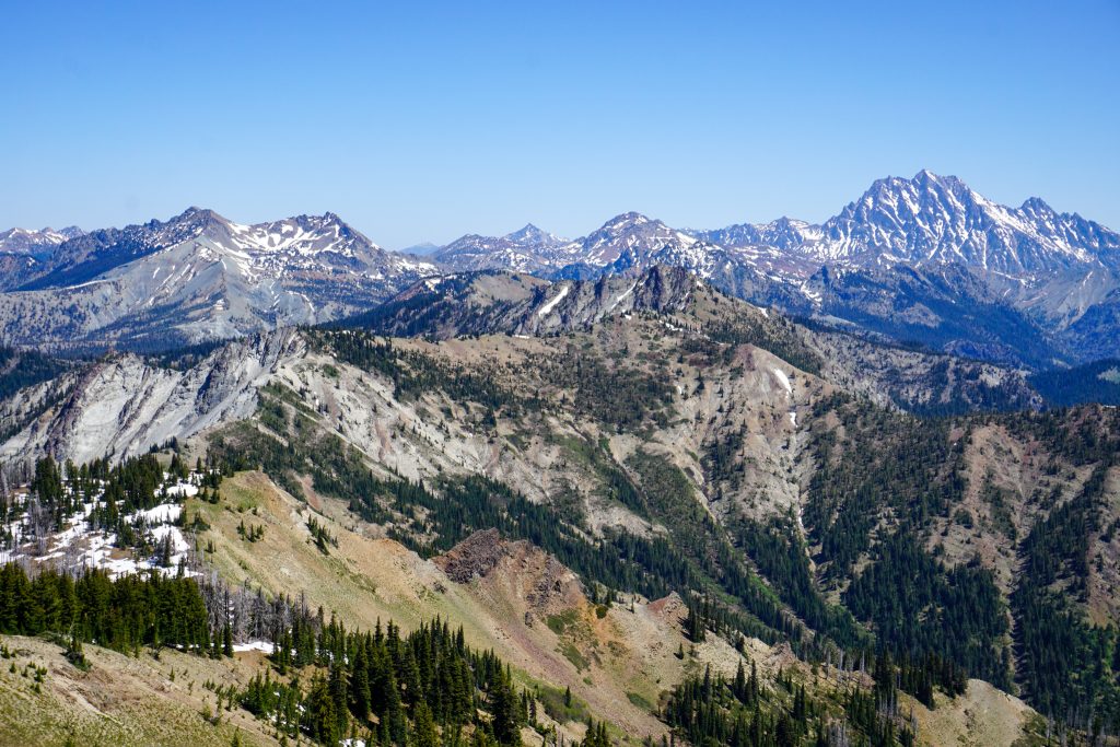
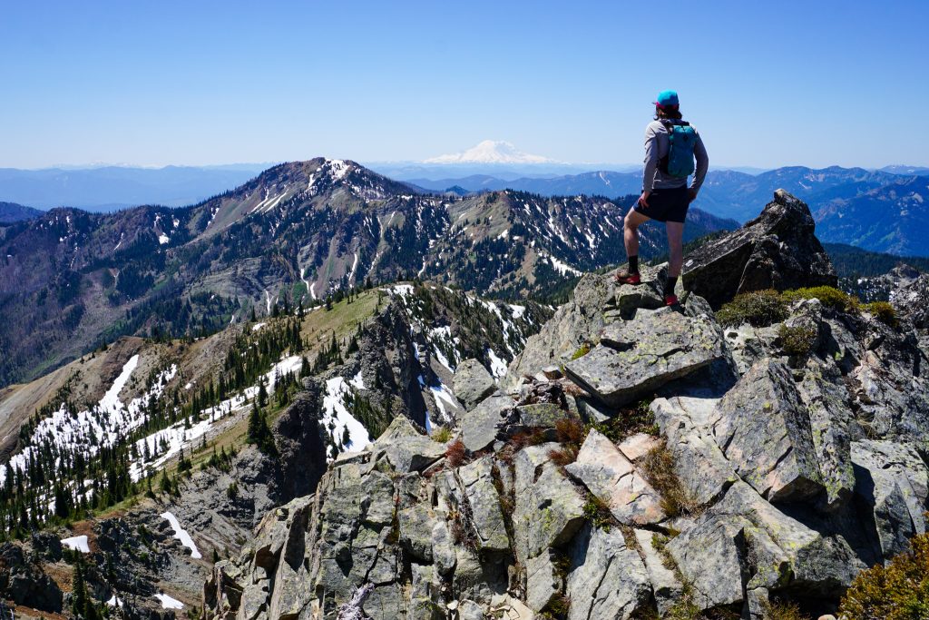
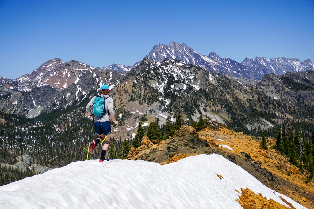
As we rounded Yellow Hill, we got our first view of Stuart, the Alpine Lakes Crest, and our entire route orbiting the Middle Fork Teanaway. We had a ton of ground to cover!
The trail was in decent condition, but fairly rocky and loose, making for slow running. There were also periodic blowdowns, but nothing bad. This terrain is so open naturally that it is never too challenging, even if there was not a trail.
There were many ups and downs, passing over Elbow Peak, Humerus Hill, and many unnamed high points.
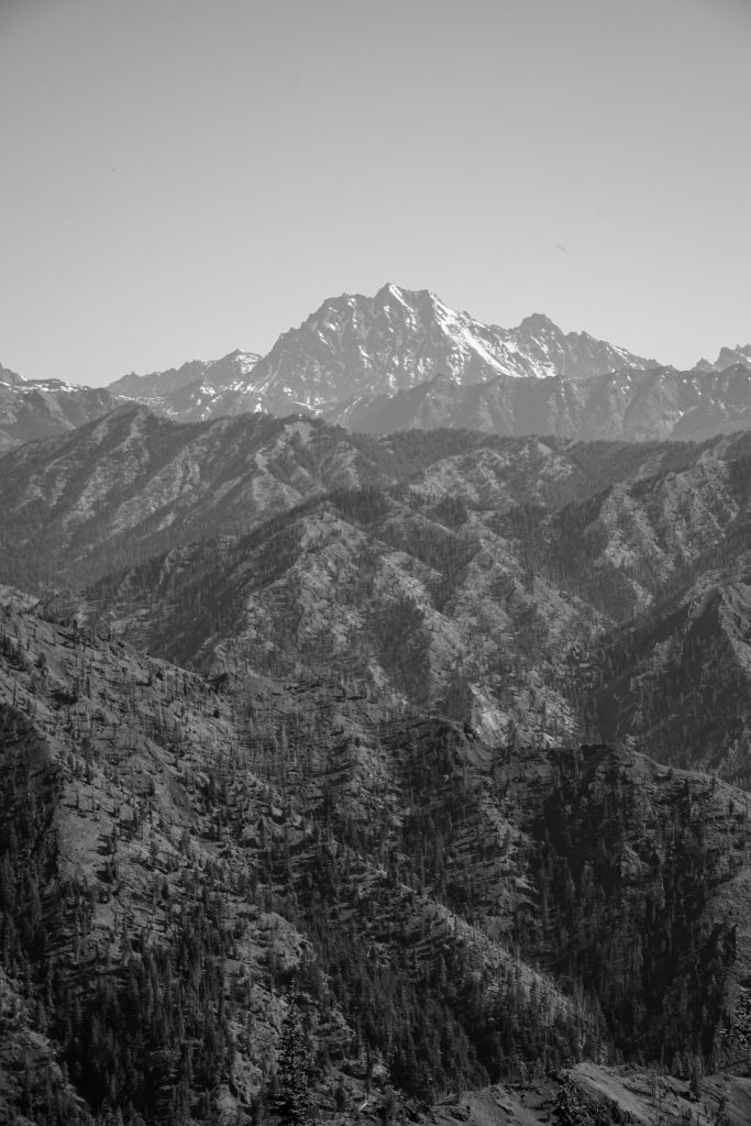
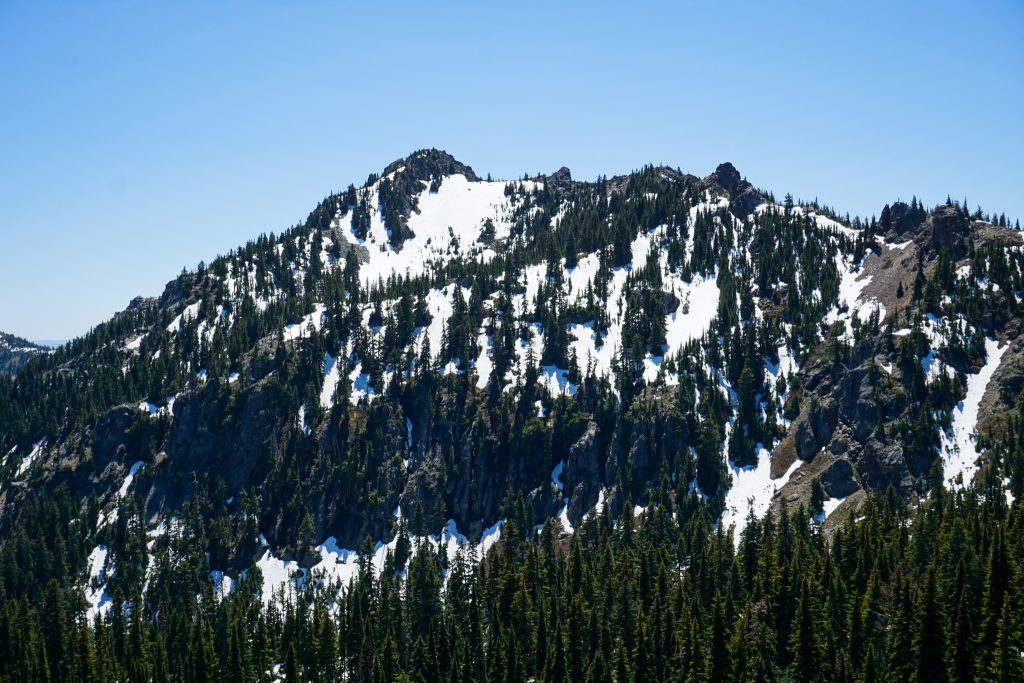
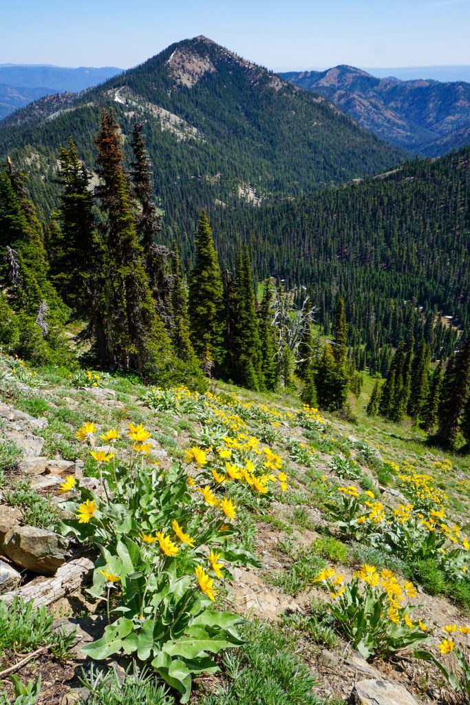
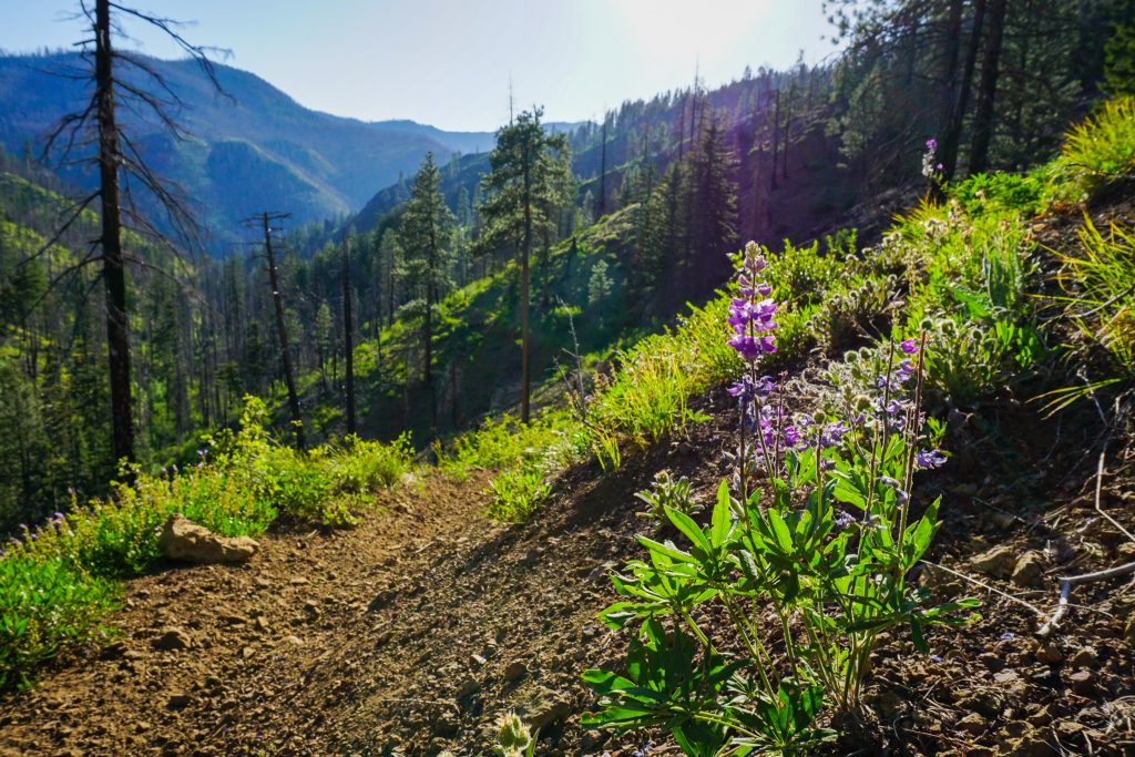
The further we got along the ridge, the closer the larger peaks of the Cascades began to appear. The geology also changed. The rocky basalt of the lower flanks of the Teanaway were replaced by arkose, a type of sedimentary rock. This band produces some of the most colorful and curious displays of rock to the north of Jolly Mountain.
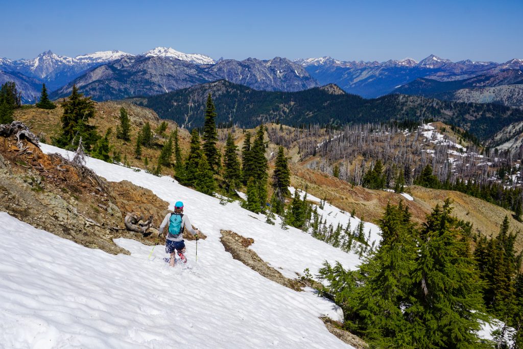
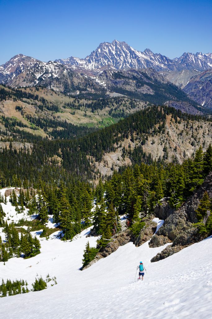
The descent off the north side of Jolly was entirely snow still. We both started the day with two liters of water but had drank most of that, so we stuffed our soft flasks with snow and continued on.
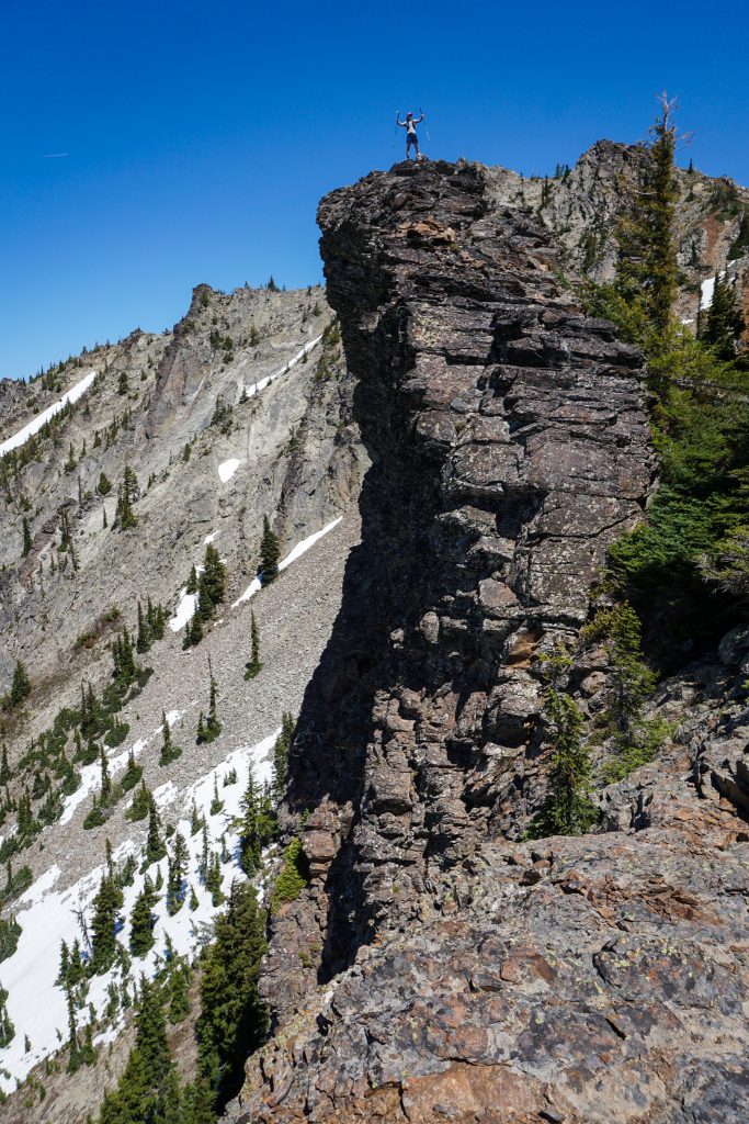
We followed a faint trail over Skookum to The Louvre, which had the only short bit of scrambling (easy class 3) for the day.
From The Louvre to De Roux was technically our only “off trail” section of the day. The north side of The Louvre was still completely snow covered, which made for some pleasant boot skiing and a much needed water refill. We traversed skier’s left to avoid the lower cliff bands, utilizing a gully to reach the bottom of the bowl.
We knew this was likely the only real water source until the final river trail, so we rested and refilled before continuing on, ascending back to the ridge. From there, it was easy ridge walking to De Roux.
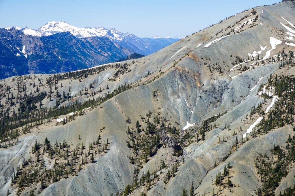
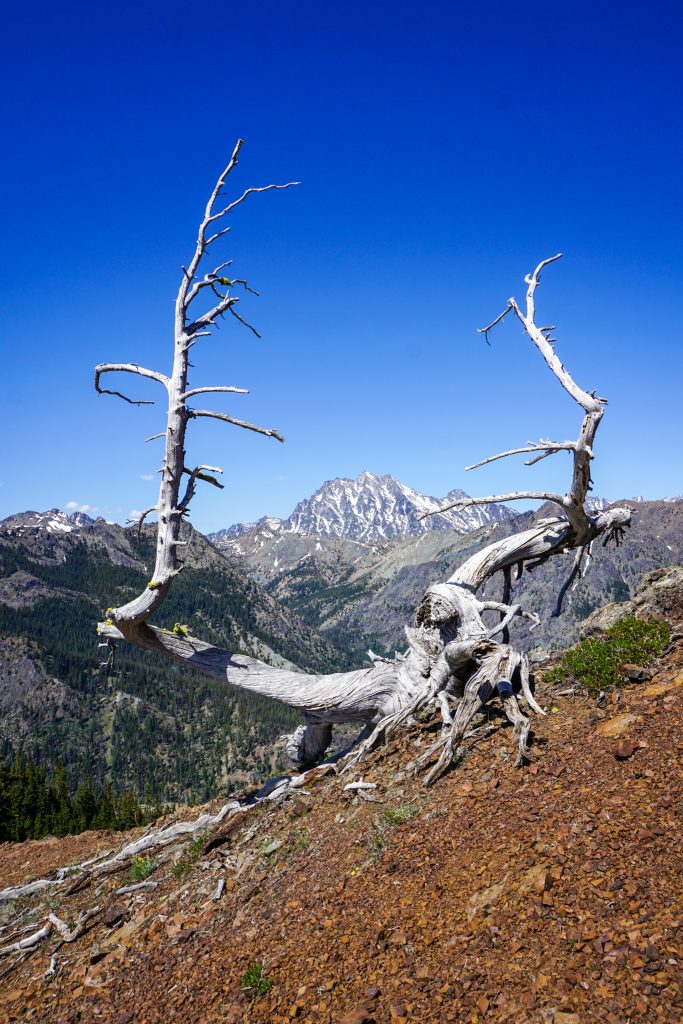
At De Roux, we were at our deepest point into the Cascades. We had finally crossed over to the distinct Teanaway red serpentinite rock. This band actually stretches north around the Stuart Range. I followed it last fall in my Jack Creek Orbit.
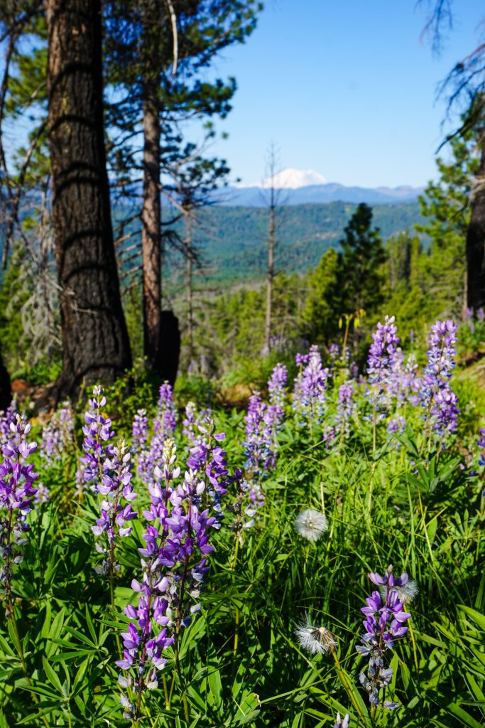
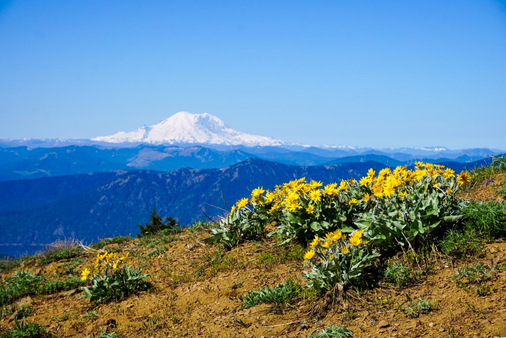
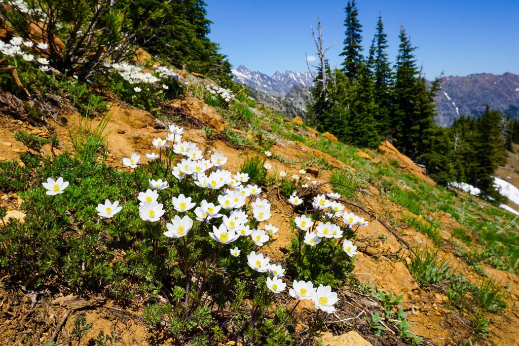
The traverse over towards Koppen had some awesome wildflower slopes.
Maps showed a “real” trail on the ridge near Peak 5630, but there was barely any more of a trail at this point than we had encountered for the last few hours. We had slowly given up hope in finding any truly “runnable” trails on this loop. While there was never any bushwhacking up high, the “trails” were so faint that running just was not really practical most of the time. We mostly just hiked and shuffled.
The trail up the north side of Koppen had seen a little more traffic, given its proximity to the North Fork Teanaway River Road. This was our final large climb, but we were both still feeling pretty good!
From Koppen, we could see the long ridge extending southwards, all the way to the giant windmills in the Ellensburg Valley. It certainly felt like we were on the edge of the mountains once again.
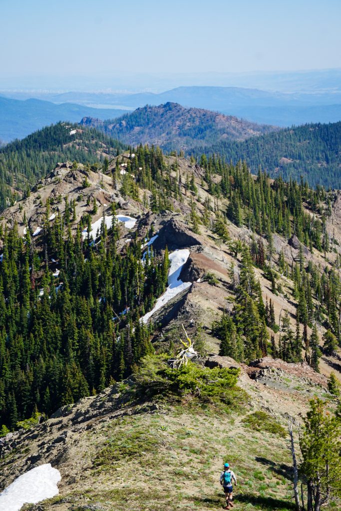
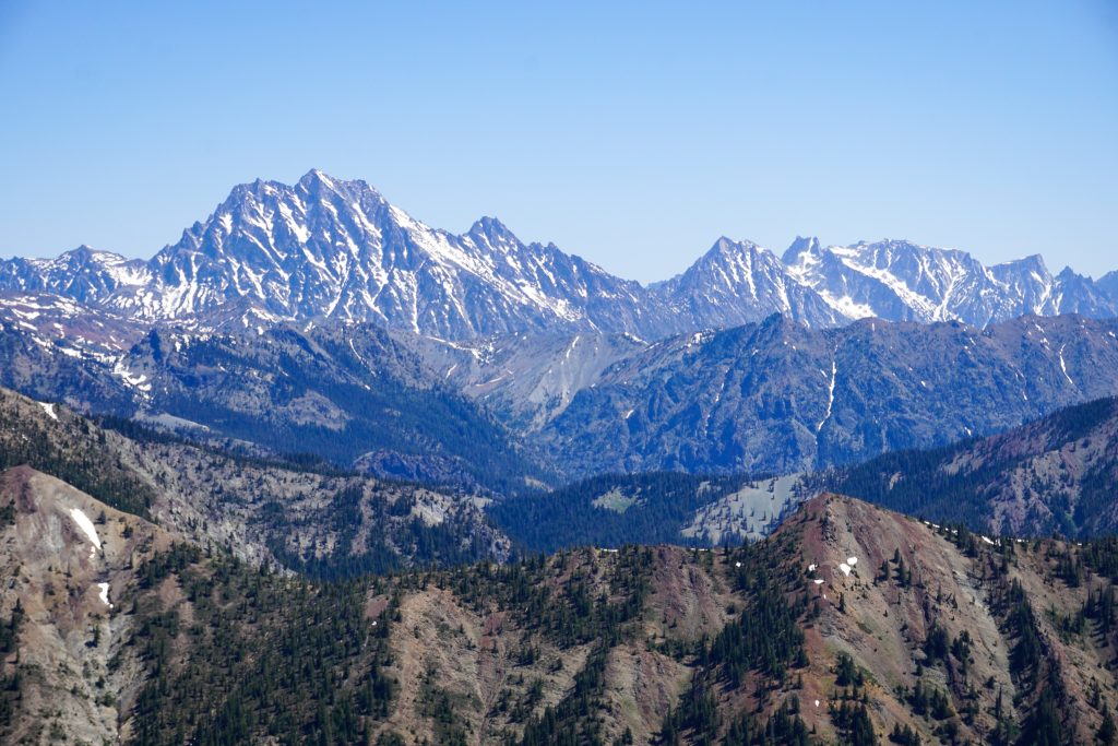
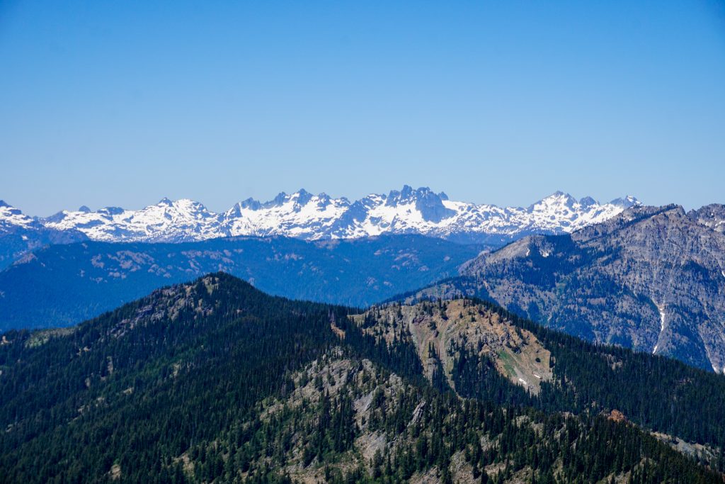
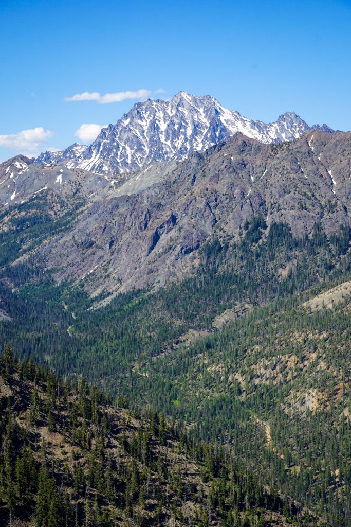
Mentally, we had both prepared for this section to feel like a slog, but instead we found perhaps the most epic part of the entire route! We followed a faint footpath along the ridge, reveling in the awesome position over the steep, glacial carved North Fork Teanaway River valley. Stu presided over the valley in an almost regal fashion. This was a valley I had driven up countless times, but it took a new perspective to truly appreciate its beauty.
From our high vantage, the extent of ice age glaciers was quite clear and intriguing. We could see where the North Fork Teanaway valley transitioned from the classic glacial U-shape near Esmerelda to the tight water-carved canyons of the lower Teanaway. Looking out to the Cle Elum Valley, we could imagine where the ancient ice lobe descending from Snoqualmie Pass scooped out the flat valley and steep walls on either side of I90.
We kept shuffling, making good progress. Eventually, we reentered the Jolly Mountain burn zone once again. Thankfully, the shadows were already getting long and the day was cooling off.
Finally, the trail wound down and we descended a steep old jeep road to FS 9701 from the North Fork. A Subaru was parked here, indicating the road was in decent shape. But we still had 5 miles of river trail to get back to the Middle Fork where we were parked.
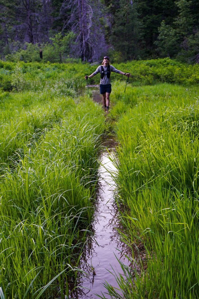
We were pretty skeptical of trail conditions for the river section. We had learned how little traffic this area gets and the vegetation would only be worse down in the valleys of these burned areas. So we were pleasantly surprised to find the first bit pretty runnable. There was recent evidence of motor bikes and sawing. Thanks!
When we reached the junction of Way Creek and the Middle Fork Teanaway, we were disturbed to see the better trail conditions heading up valley away from our car. We guessed that bikers were using Way Creek instead of the lower Middle Fork to access this valley since it was a shorter distance. We knew we were in for a rough final few miles.
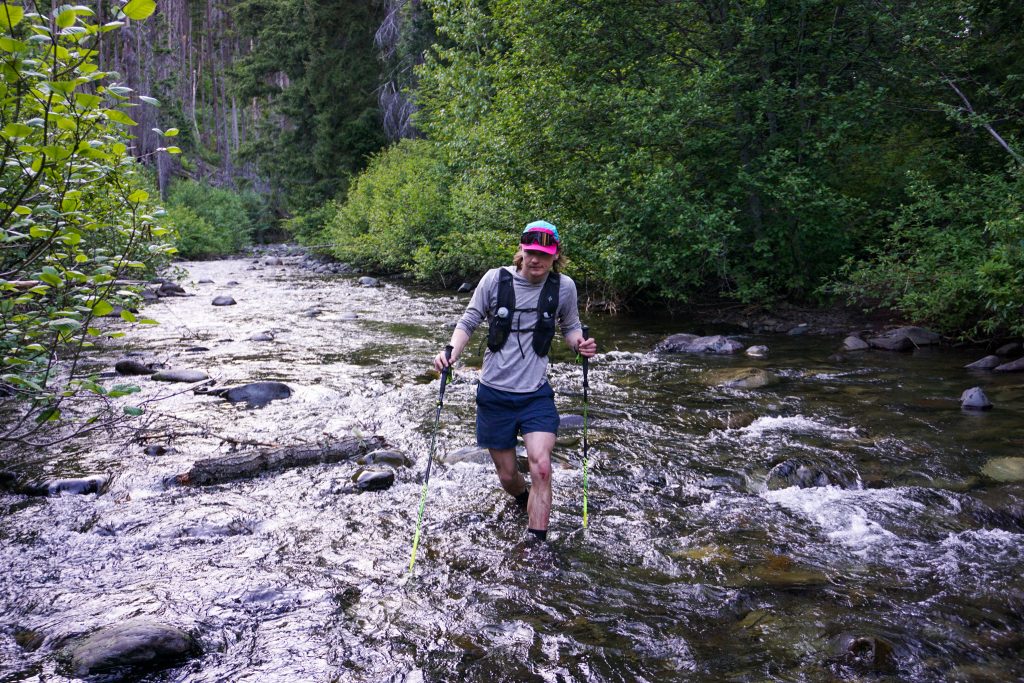
The trail quality disintegrated rapidly. We immediately had a river ford, followed by another ford just minutes later. At times that the trail simply went through the river. It appeared that the river has moved since the creation of the trail, multiplying the number of required crossings. When we weren’t in the river, we frequently ran into short sections of blowdowns.
We passed a perfectly nice cabin, which had not burned in the fire, hidden on the opposite side of the river from the trail. What’s the story behind that? Just when we thought it would not get weirder, we ran into a deep, mucky bog created from old ATV tracks!
The “trail” became an old road bed, but continued to hop back and forth across the river through the narrow canyon. After our tenth river ford, we suddenly popped out at our car! It was over!
As we took off our soaking shoes and socks at the car, we could not help but smile at a hilarious ending to an incredible day. The Middle Fork Teanaway Orbit proved a bit burlier and wilder than we expected. We covered 20 miles of nearly continuous ridge travel with epic views and fresh perspectives on familiar places. While this was just supposed to be a season opener to get in shape, it very well might end up being one of the highlights of my season!
Thank you to Jack for coming on a last minute adventure and keeping a great attitude the whole time! And thanks to Steve for the inspiration and not telling me how bad the trails were going to be – otherwise I might have shied away from this route. Sometimes, ignorance is bliss!
Notes:
- The route was about 30 miles and 10k gain. It took us 12.5 hours.
- While most of the route is “Class 1”, meaning just walking, very few sections allow you to truly run and move quickly. Our fastest mile was a 14 min mile. So do not expect to move super quickly, but rather consistently.
- Early summer is the ideal time to do this route: blooming wildflowers, snow for water refills, lush vegetation. Later in the summer, it would just feel hot and dry, with possibly no running water.
- The only significant running water was found in the basin north of The Louvre. This was about halfway, time-wise, through our route.
- We did not feel the need for any traction or an ice ax, but some might want them for the 30-35 degree snow slopes on the north side of The Louvre. Later in the summer, there will be no snow at all.
- Good “trail finding” skills are needed to follow these faint paths.
- There are a few ways you could shorten the route to avoid the burly exit, while maintaining the best parts of the route. All involve short car shuttles:
- Exit out De Roux Creek before Koppen.
- Exit out Johnson Creek after Peak 5801. This trail looked pretty well traveled as we passed it.
- Park a car at the end of FS 9701.
Nice work, you two. Mystery flower #1 looks like Western Pasqueflower. Its much more recognizable when it goes to seed. People call it mouse head or hippie-on-a-stick.
Thanks for educating me! Looks like you are correct on that one.