Everything Goes in the Twins
The Green Creek Circuit is a dark horse classic linkup in the Twins Sisters Range of the very northwestern Cascades. Dylan, Jenny, and I did the Green Creek Circuit, including the Green Creek Arete, South Twin, Jaws’ Tooth, Skookum, Little Sister, and Cinderella. It was a fantastic day in the mountains on absolutely fantastic rock!
Two years ago, I met Dylan when we did the Triple Rainbow High Route together. Dylan lives in Bellingham and so North Twin is just an after work dusk patrol for him. He loves the Twin Sisters Range, a unique range of red rock between Bellingham and Mt. Baker. He was the first to tell me about the Green Creek Circuit. With so much quality scrambling and climbing, it sounded like a dream. Reading through old Cascade Climbers trip reports, it seemed to have some mythical quality, like a far flung fairytale hidden on the backside of a range so prominently visible from Bellingham. I had heard rave reviews about the red olivine rock in the Twin Sisters – so sticky and solid. The Green Creek Circuit was elevated to the top of my to-do list.
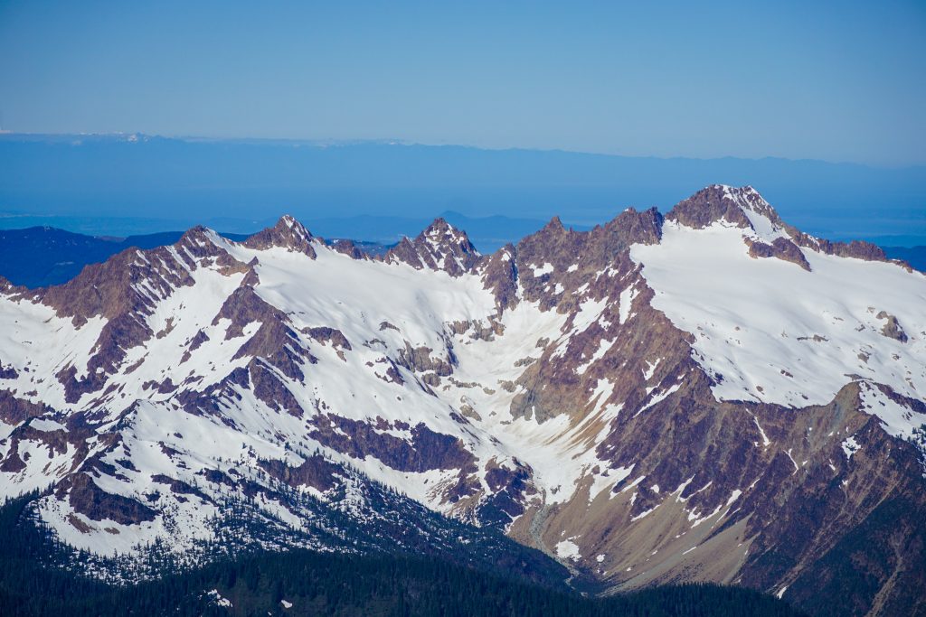
The main challenge with this route is the river crossing over the Middle Fork Nooksack. The bridge for the Elbow Lake Trail has been gone for decades and over the last few years, any reliable log crossings have washed away. Trip reports mentioned doing the route in early summer to take advantage of snow coverage on top of the extensive scree and glaciers, but the river is too dangerous to ford for most of the summer. So each summer, I could not figure out the timing for this trip. But Dylan, who had done the circuit once before, felt confident we could manage the glaciers and choss in late season conditions, so we decided to go for it in late August (with September glacial conditions this year).
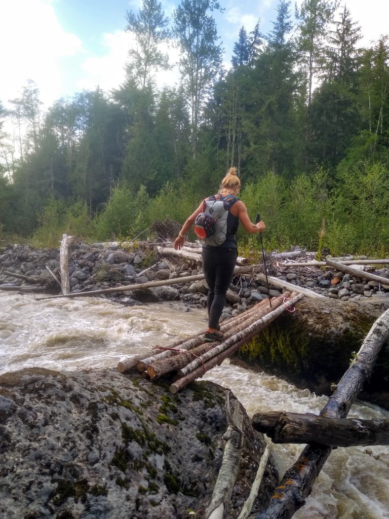
Jenny joined us last minute and so we all met at the Elbow Lake Trailhead at 5 am. I had received beta from Mallorie, a guide, that there was actually an unofficial bridge placed about 1/4 mile downstream from the usual river crossing. So we walked by the Tyrolean (still have not done one of those) along the shore of the river and found the bridge, which was a few logs tied together and placed between two strategic boulders where the river narrows. As long as these boulders do not move each year, this will be a great place for a bridge each year.
From there, we schwacked up to the Elbow Lake Trail. It was in remarkably good shape considering how little traffic it probably sees. The turnoff for the Green Creek Climber’s Trail at the switchback was easy to find and there was even little blue trail markers to follow all the way into the Green Creek Cirque. Thank you to Darin or whoever has helped put in this trail!
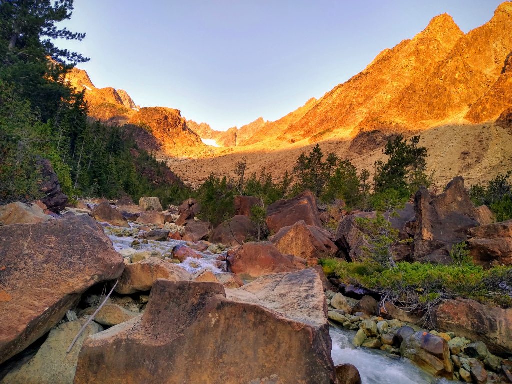
As we stumbled out of the forest, I got my first glimpse of the mythical Green Creek Cirque. The orange rock was glowing in the morning sun. All around us, giant aretes of olivine sprung out of the valley. The two distinct species of little pine trees are exclusive to the range. Green creek was absolutely crystal clear. It truly felt like I was transported to a distant range. I had never seen anything like it.
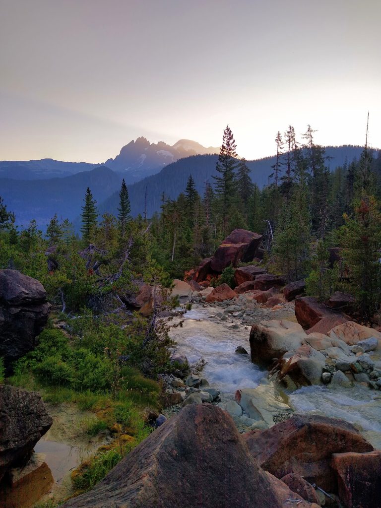
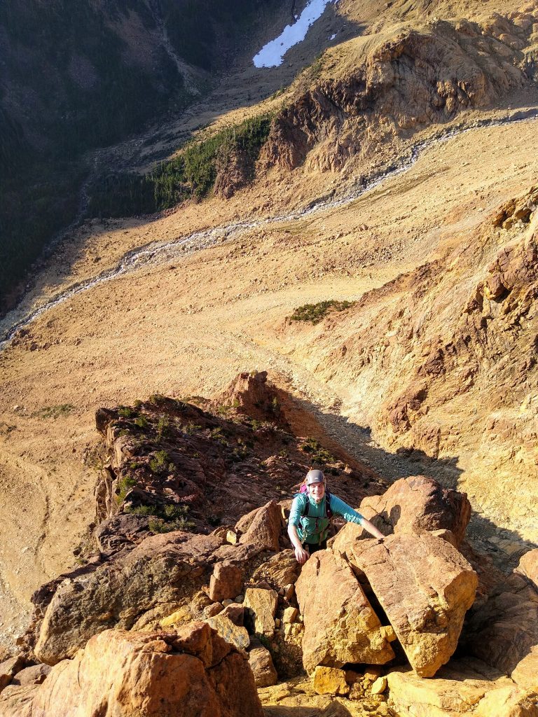
We grabbed some water and then crossed the stream and headed up towards the Green Creek Arete, a long prominent feature that provides a staircase of beautiful stone to the upper reaches of the valley. While the traditional route starts around on the left side of the arete, Dylan led us up the right side, which is steeper, before joining the arete top above Mythic Wall. We reached the base of the arete only two hours from the car, but we felt far removed from civilization.
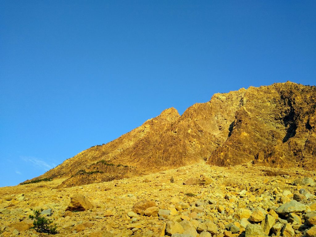
Jenny and I were giddy with excitement as we got our first taste of the legendary olivine. Scrambling can be so swift and fun when the rock is trustworthy.
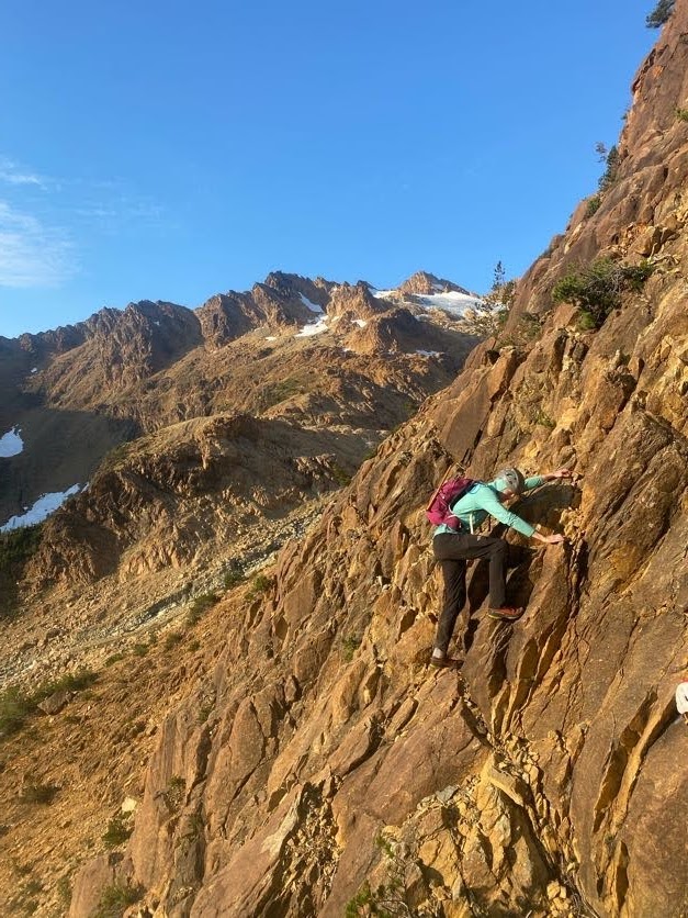
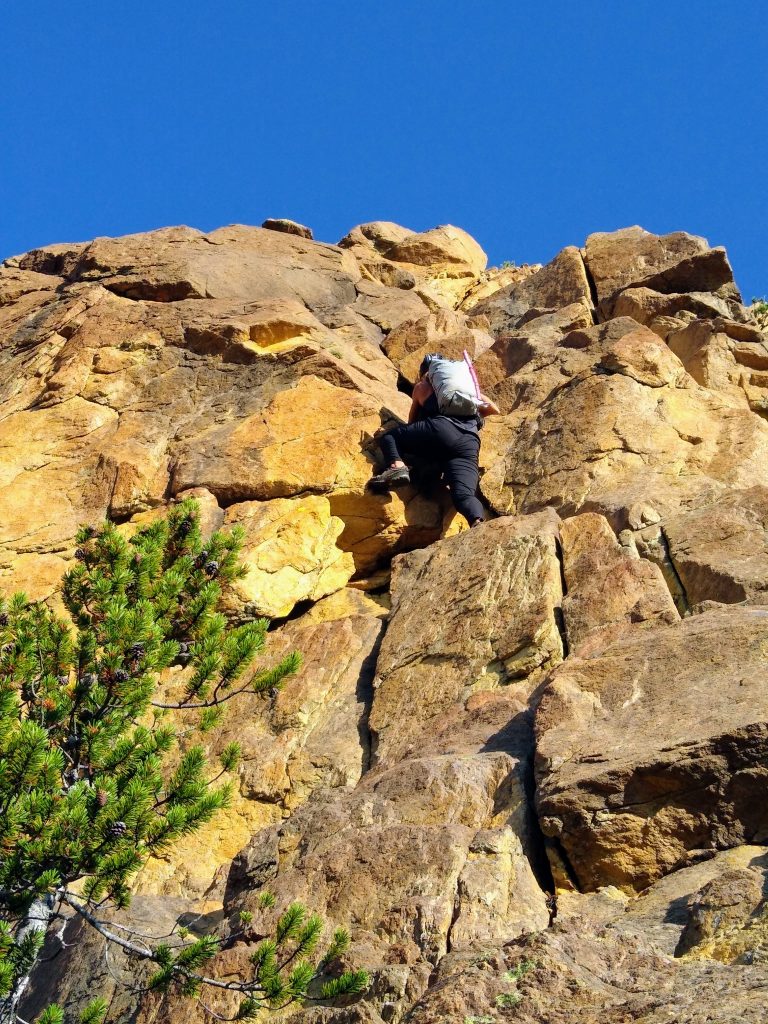
Near the top, there is a distinct 5.6 crux. While it is vertical for a body length or two, there are the most bomber jugs to pull on.
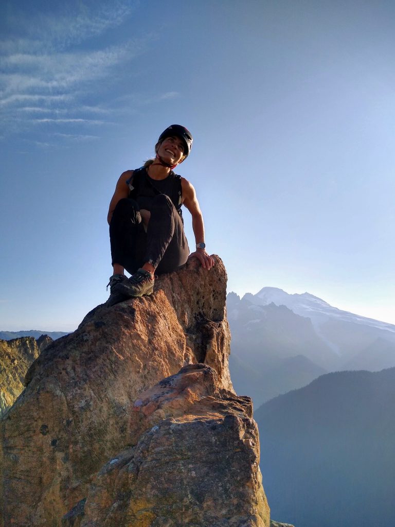
From the top, we walked across glacial slabs towards the edge of the Sisters Glacier. There was more running water here, so we filled up, not expecting more water until the end of the circuit. Getting onto the impressively flat Sisters Glacier was easy and we cruised up towards the NE Ridge of South Twin.
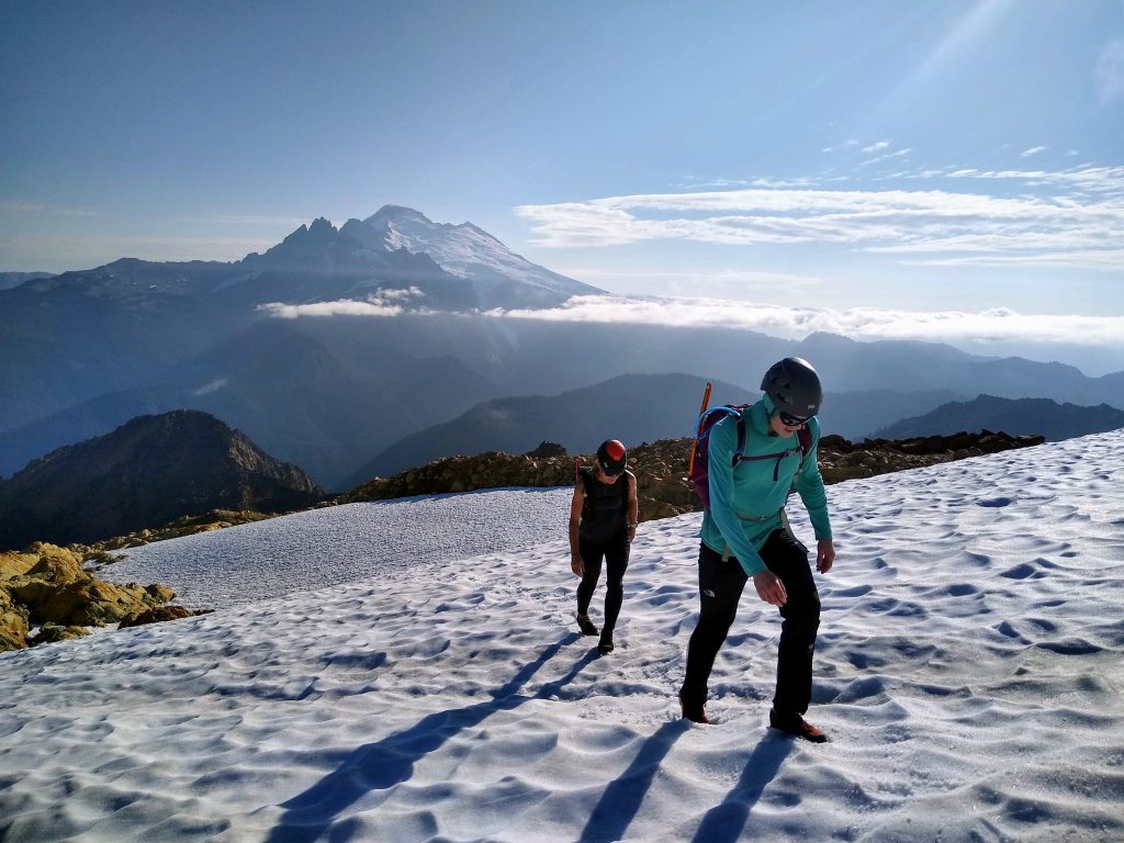
As we scrambled up the easy 3rd class NE Ridge of South Twin, we watched clouds swirl in from the south, wrapping around the spires of the Twin Sisters Range and passing beneath the summit of Baker. It made me regret not bringing a real camera, but a phone camera is so much easier on climbing days like this. Alas.
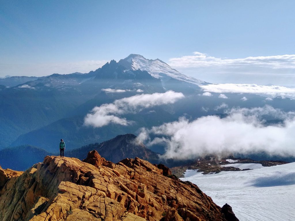
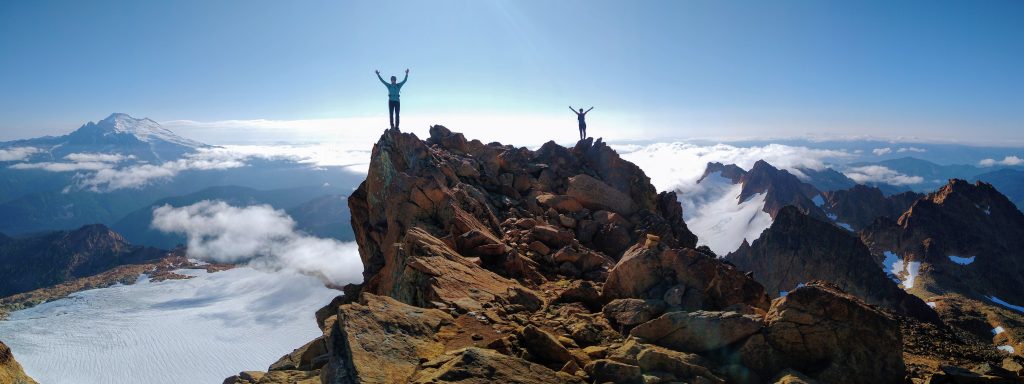
South Twin is the highest peak in the range. Looking down to the south, we saw a maze of ridges and gendarmes and that quintessential red rock. On a map , the Twin Sisters is a tiny range. But up close, it is obviously apparent that the range is still so untapped. There are so many more adventures waiting to happen beyond the classics like the Green Creek Circuit. As Dylan likes to say, “Everything goes in the Twins!”
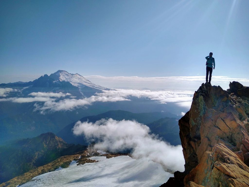
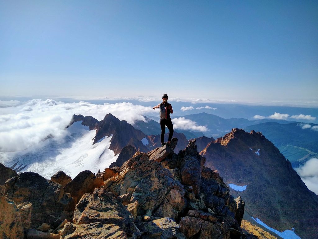
We dropped off the southwest side and made our way down heinous scree and boulders. In the Twins, when the rock is good, it is really good, and when it is bad, it is really bad. North faces are steep and bomber. South Faces are loose and disgusting. It makes for a really natural circuit, climbing steep north ridges and descending non technical south faces. But you have to be really careful on the chossy descents. The rocks pick up steam real fast and everyone will be trundling, whether you want to or not. Perhaps this is why people usually do the circuit early in the summer.
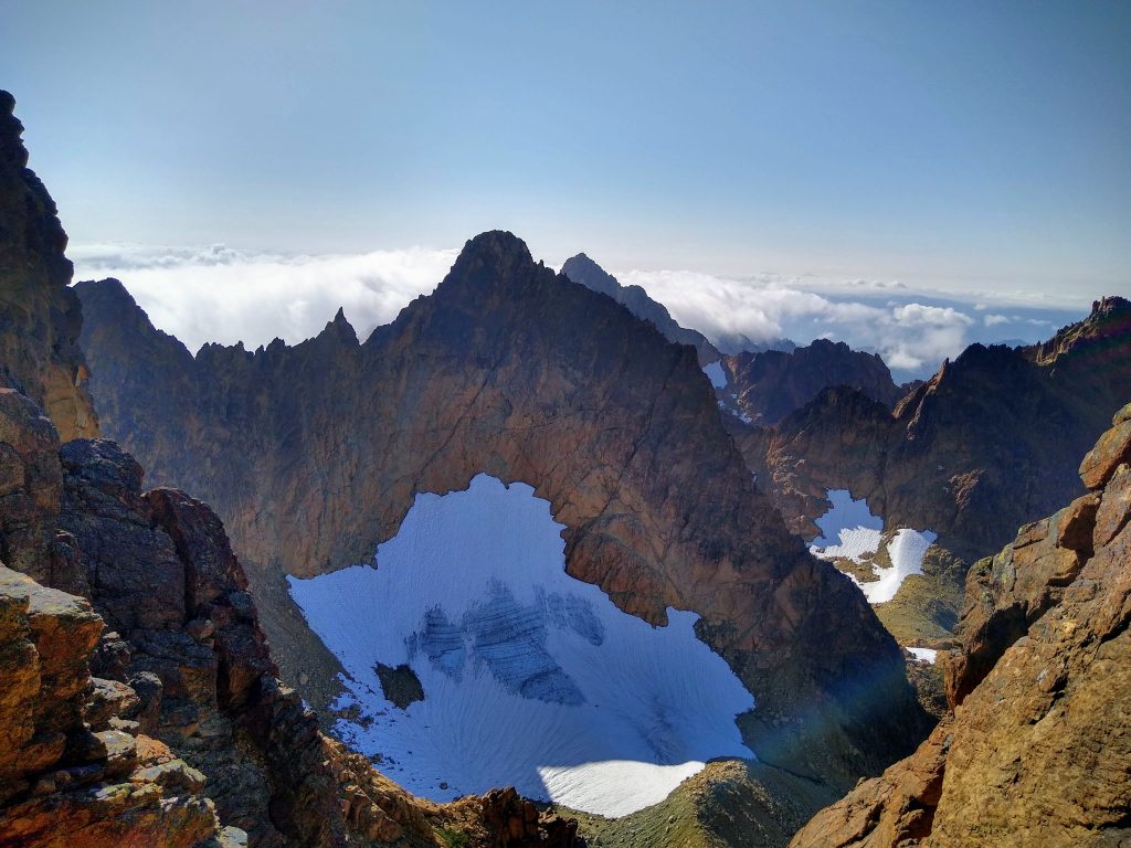
Our next part of the circuit was Jaw’s Tooth (5.6) and Skookum Peak (5.4). This was supposedly the best climb in the range so we were all excited.
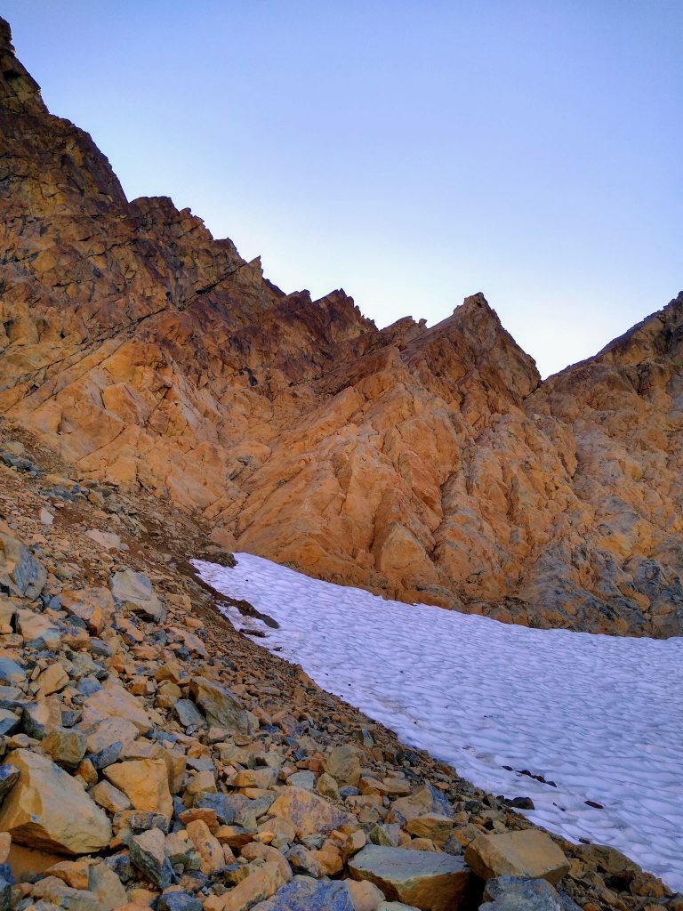
We started up the immaculate slabs and dihedrals just to the left of Jaw’s Tooth. Jenny soloed ahead of us while Dylan and I simuled. The climb slowly got steeper until reaching the surprisingly-real 5.6 dihedral. I spent a while searching for a gear placement, plugged in a small cam, and then went for the crux layback. I have not done much actual climbing in my approach shoes, so I was a little nervous as I smeared my feet against the smooth slab and committed to the layback. In the words of KJ, I muttered to myself, “Vibram don’t fail me now!”.
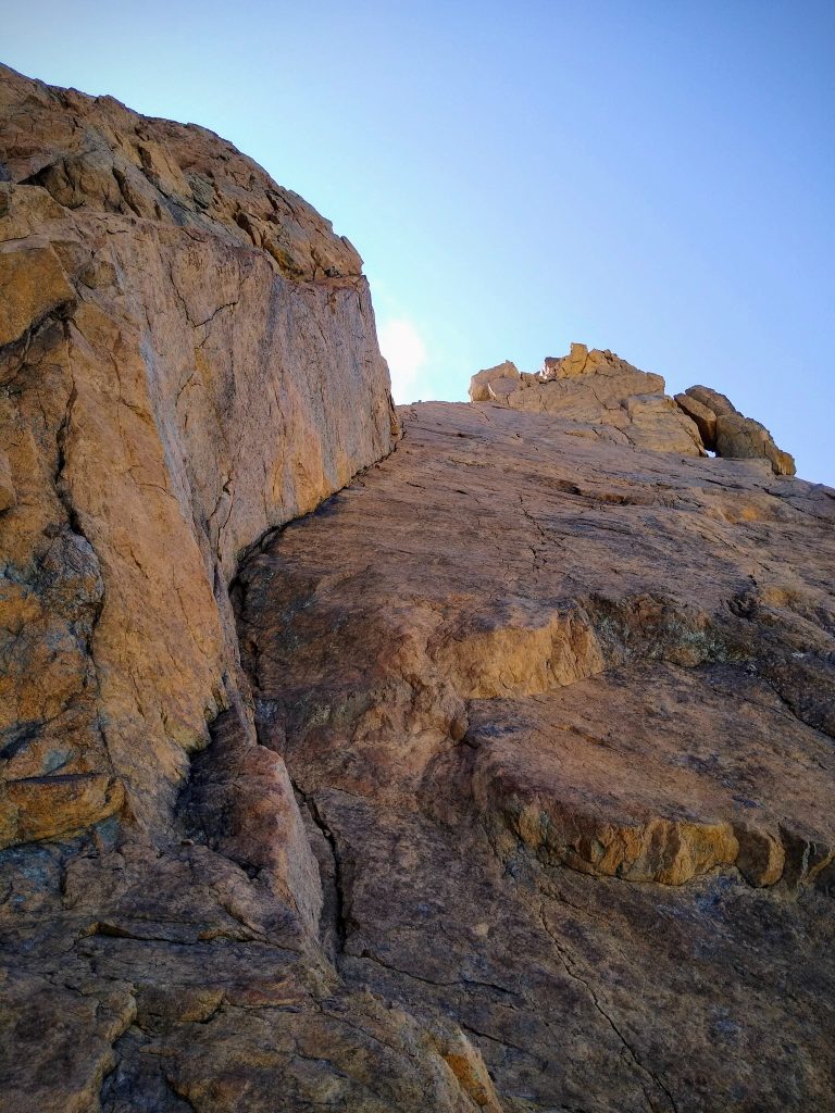
I continued up the immaculate corner, into the sun, and joined Jenny atop the small spire that is Jaw’s Tooth. All around, clouds swirled, cliffs dropped off, and ridges of red rock loomed above. It was one of those absolutely surreal settings, where the perfection of the moment is almost overwhelming. We were stoked beyond recognition.
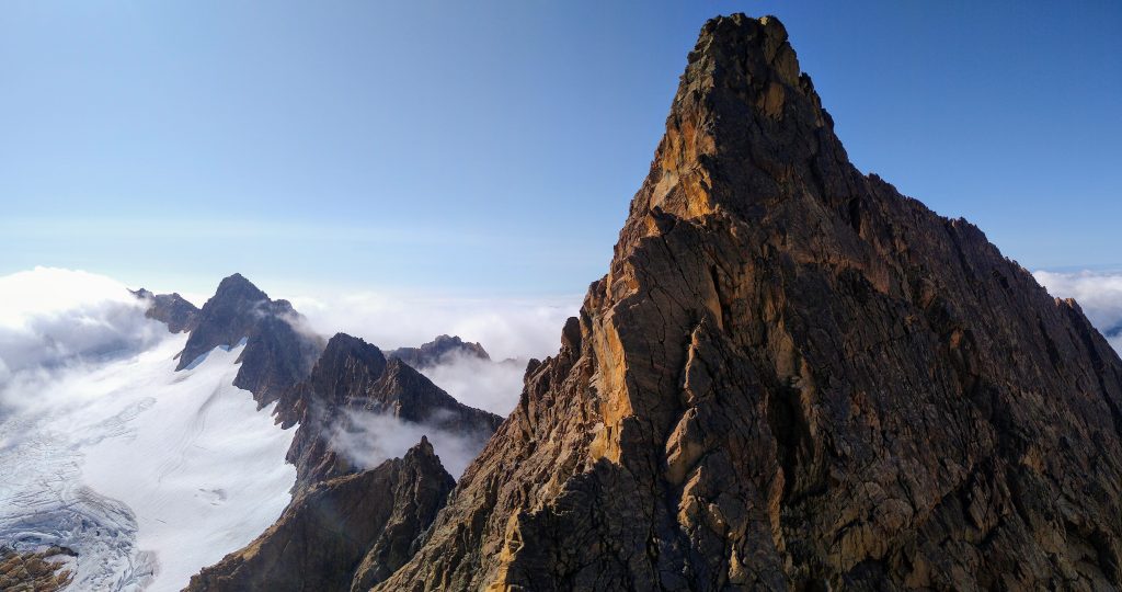
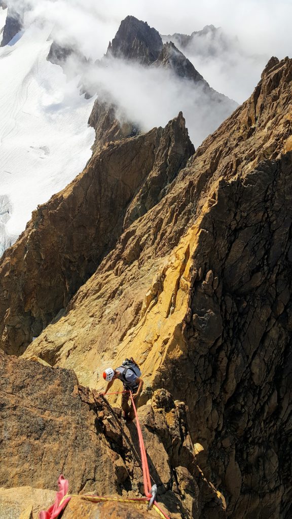
Dylan had done this before, so he knew that a 30m rope would just barely get you down off Jaw’s Tooth on rappel. Then we tied back in and started up the north ridge of Skookum Peak.
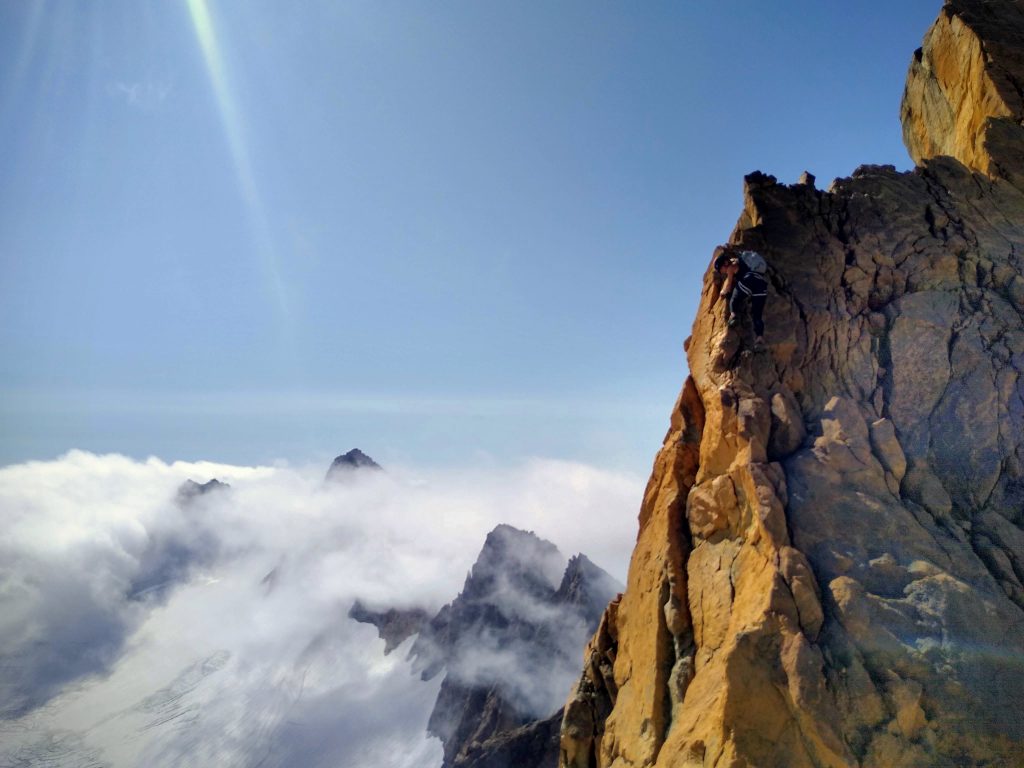
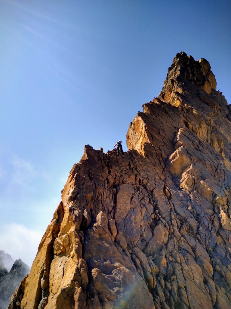
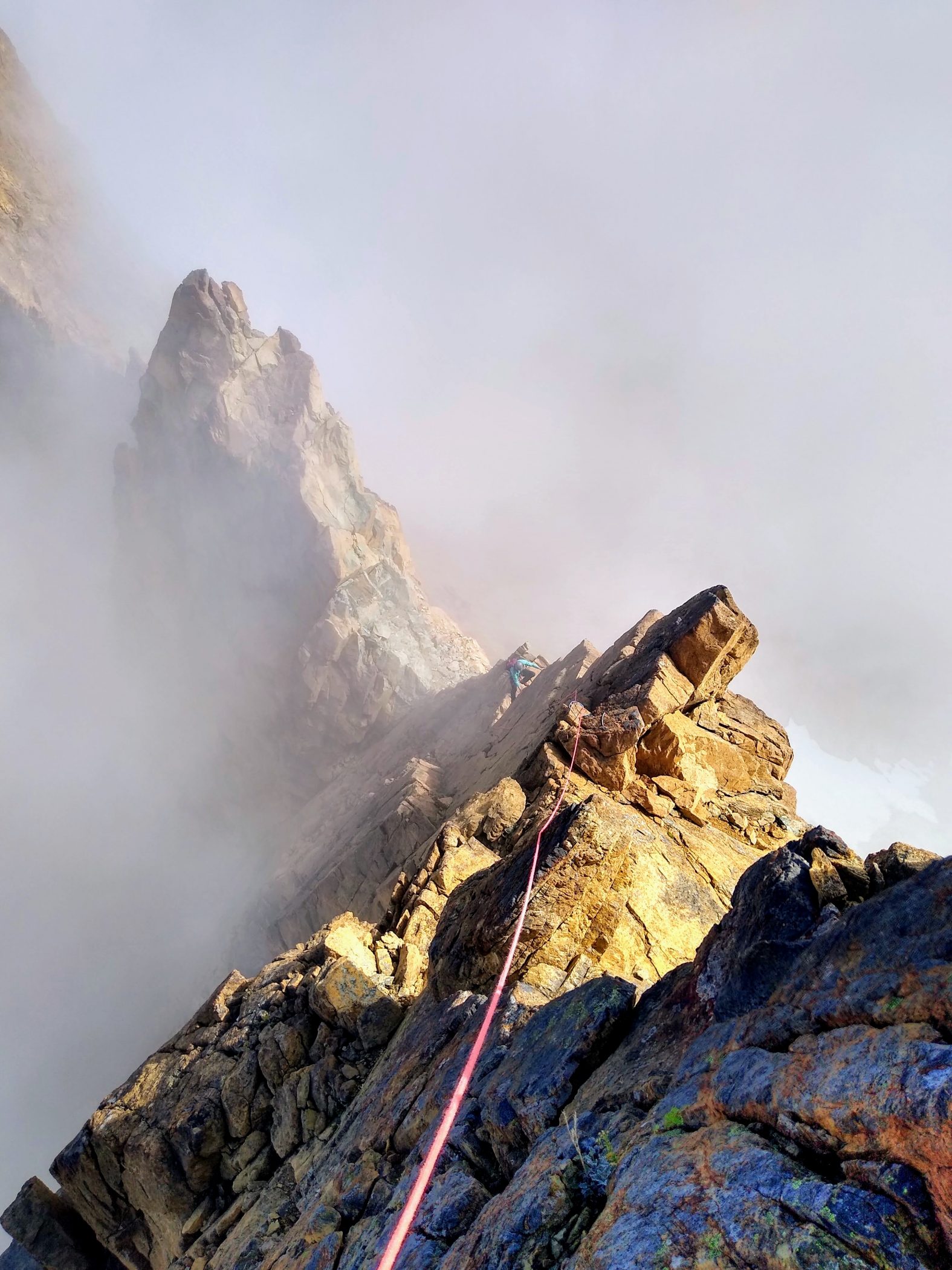
We stuck true to the ridge on Skookum. The rock was bomber and the exposure was immense. As I led up the ridge, traversing on little ledges, shuffling my hands on the positive edges, I shouted up to Jenny “I feel so Euro!” All I needed was a fish eye GoPro lens and a refugio on top of the summit and I would practically be in Chamonix…
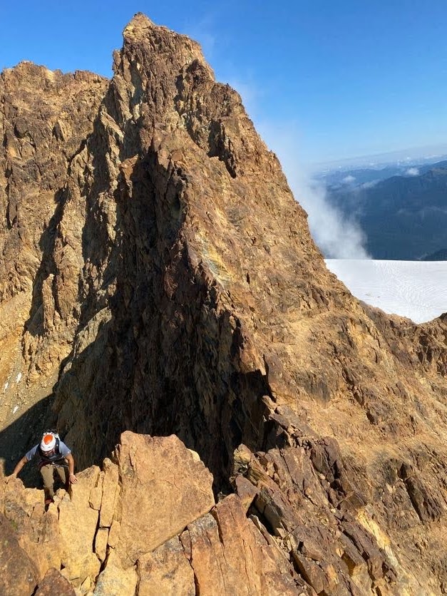
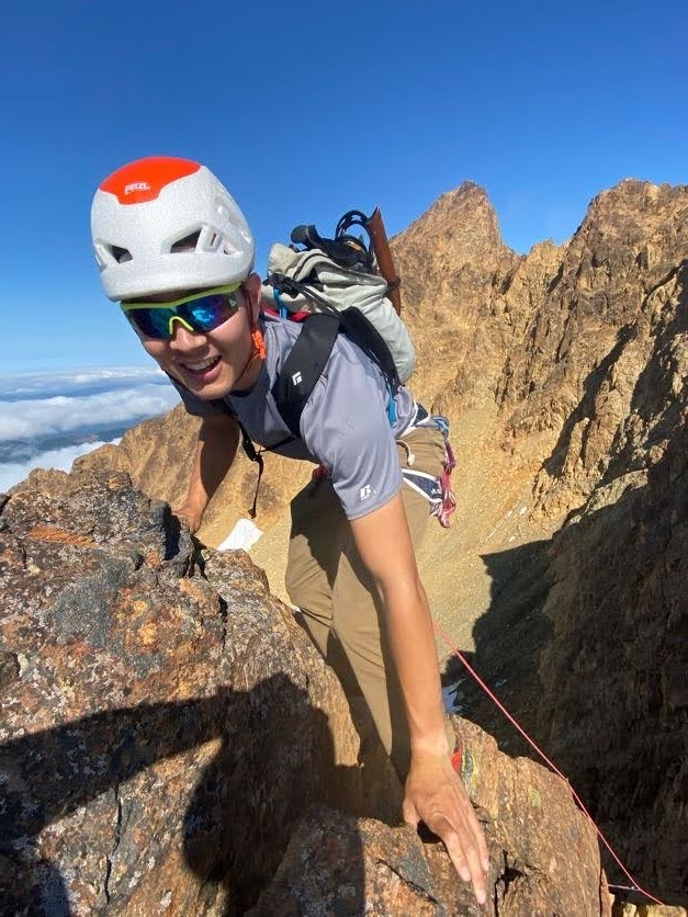
The swirling clouds only added to the mystical feel. It reduced our world to a dichotomy: the knife edge ridges we stand upon, and the abyss that surround us. It was a pure scrambler’s paradise.
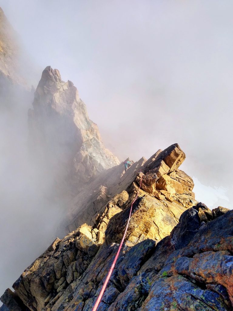
Looking back, Jaw’s Tooth plus Skookum is certainly the best easier (<=5.6) trad climb I have done in Washington. It is worth doing the circuit for just in itself, but fortunately, there is plenty of other good climbing on the route!
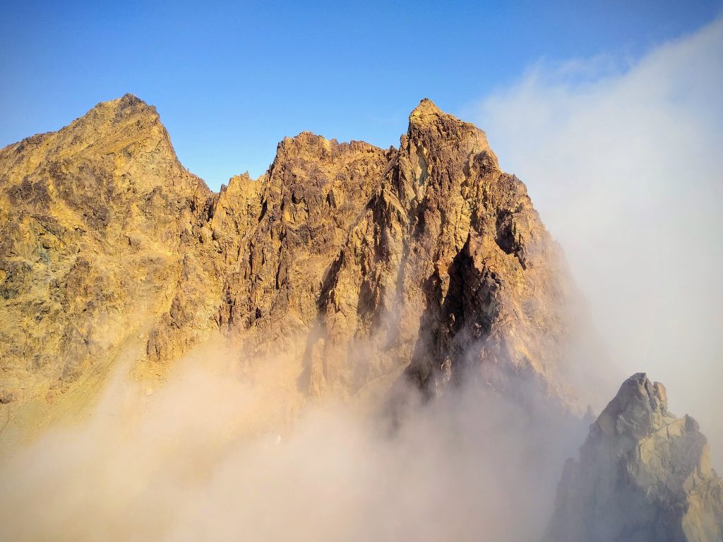
From Skookum, we wandered down the loose SW Face into a basin beneath Hayden. We climbed up to the saddle to the east of Hayden and opted to skip Hayden since it did not look as inspiring and the clouds seemed to be taking over.
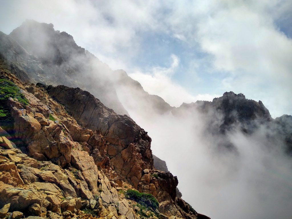
A brief glimpse of clarity allowed us to at least spot the two aretes on the NW Face of Little Sister. This face is nearly a thousand feet high and offers one of the longer climbs in the range (5.4).
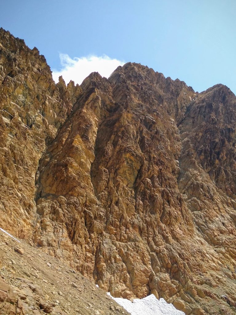
Unfortunately the clouds engulfed us once again, this time for good. We had to cross an absolutely disgusting lateral moraine and then we gazed up at the base of the NW Face in a whiteout. We guessed we were beneath the left arete so we begun up.
The start involved about 100 ft of pretty sustained face climbing that definitely felt harder than 5.4. The edges were small and downward sloping, which I did not like much in my approach shoes. But there was no protection whatsoever, so we just focused and got through it. There probably is a better way to do this section, but we could not really see anything and were probably a little impatient.
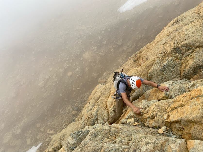
After that, the terrain returned to the beautiful red rock that also takes protection well. This time, Jenny humored me by simul climbing with me and Dylan took his turn soloing. Of course, right after pulling out the rope, it became more consistently fourth class.
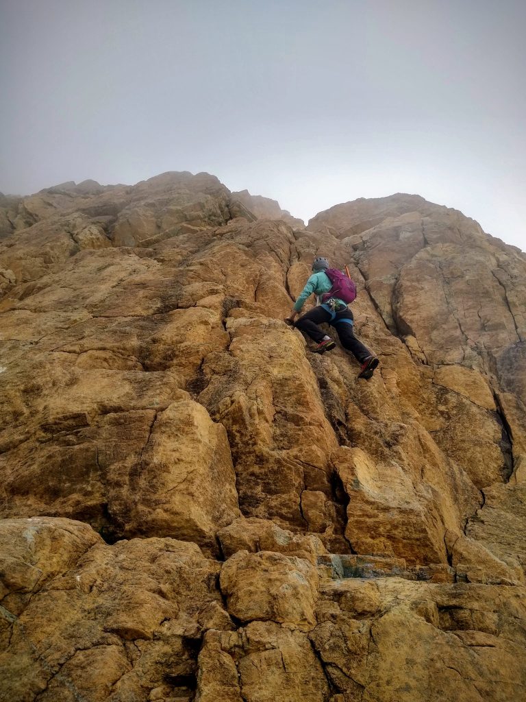
Little Sister is a long climb and we kept going over false summits in the clouds until finally stumbling upon a lounging Dylan.
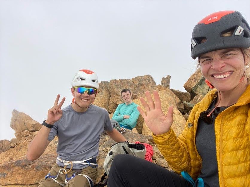
Dylan recalled easy terrain on the ridge towards Cinderella, so we started down the connecting ridge, but found a lot of full-on downclimbing. It was not seeming to ease off, so we eventually retreated down a south facing gully to easier terrain. As the clouds briefly lifted, we saw that we had almost finished the direct ridge to Cinderella, but in the the clouds, it felt like it was going to continue for an eternity.
The west ridge of Cinderella is a weird return to actual hiking before some final fun scrambling to the true summit. This marked the completion of the Green Creek Circuit!
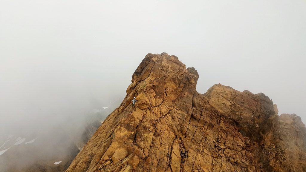
From our last summit, we downclimbed beautiful slabs to our north down towards the edge of the Green Creek Glacier. It had looked steep from the summit, but near every crux spot, there was always a passage. “Everything goes in the Twins!” Dylan exclaimed.
Other late season trip reports mention moat issues here, but we found it completely trivial. Hopping onto the snow in any spot was very easy, even with our extremely late season conditions.
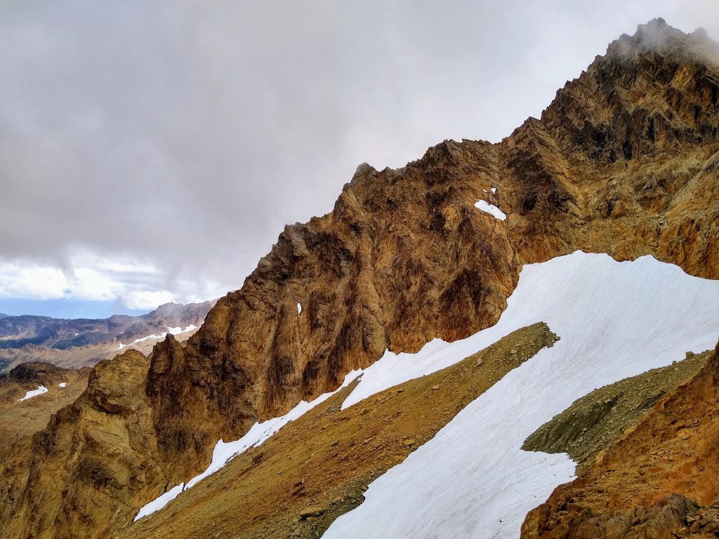
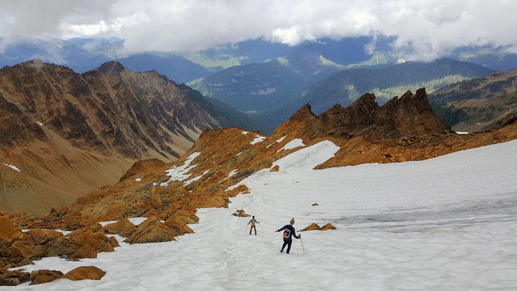
We just stayed far right along the top of the glacier until we moved onto nice post-glacial slabs. From here, we just kept traversing down and right through surprisingly pleasant terrain all the way to the valley floor at 4000 ft.
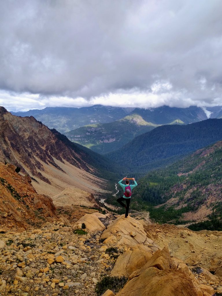
I waited for the others at a beautiful gravel bar, gazing up at waterfalls, glaciers, and red spires. It reminded me very closely of the Cirque of the Butterflies in the Napeequa, but with vastly different colors. It felt wild. It felt magical. It felt peaceful.
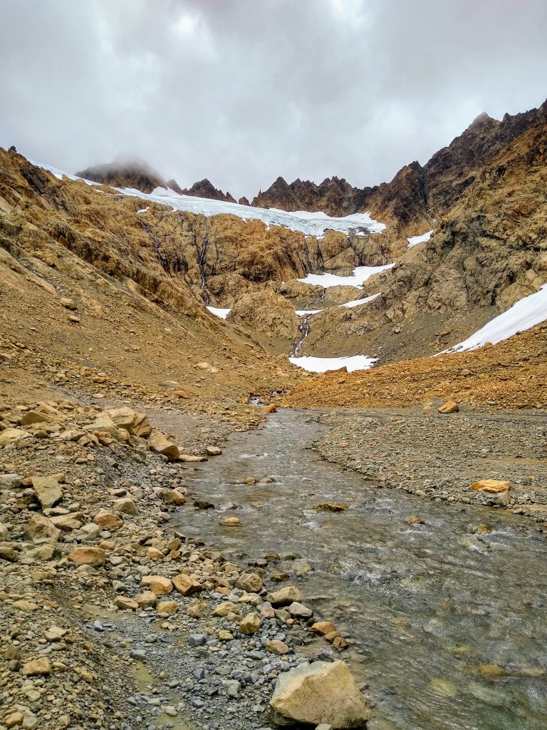
We followed the waterfalls and boulder field downstream, back to the valley floor, and then back into the forest. We all felt a little worked, but content with a wonderful day.
After years of anticipation, the Green Creek Circuit somehow exceeded my expectations. It had that perfect blend of engaging climbing, a remote setting, wonderful rock, and beautiful views. It has probably as much climbing/scrambling vert as hiking vert, which is very impressive. In Washington, it is truly a class of its own! Thank you to Dylan for sharing this special place with me and thank you to Jenny for slowing down for us!
Notes:
- The route measured about 11-13 miles and 8000 ft of gain. It took us a little over 12 hours. I think that you should be comfortable simul climbing up to 5.6 to complete this in a reasonable day car to car, but camping in the Green Creek Cirque is a viable option. I did not see any developed campsites, so if you do camp, please camp in low impact spots to maintain the wilderness feel of this area!
- We used a thin 30m rope, which allowed us to do the 15m rap off Jaw’s Tooth and simul climb. We brought a few small and mid sized cams, some nuts, tricams, and slings. The nuts and tricams were not that useful, but we found some placements for them.
- We actually never pulled out our ice axes and crampons, although it is a good idea to bring them.
- We all used approach shoes for the climbing. Bringing rock shoes would mean a lot of shoe transitions and approach shoes should be adequate for most people, but it depends on personal comfort level.
- Nothing felt above 5.6 on this route and most of it was 4th to low 5th. However, I did feel the crux on Jaw’s Tooth was more challenging than other 5.6 routes like Stuart West Ridge and the Beckey Route on Liberty Bell. There is a lot of terrain to cover and speed on moderately difficult terrain is critical.
- We had no issues with the glaciers even so late season. However, the chossy descents were probably the most dangerous part of the day. We set off major rock slides and had to be careful to not hit each other. Group management is critical and you should be aware of other parties in the area. Doing this trip earlier in the summer is probably ideal so there is more snow travel. It would also be much faster with good snow coverage, since these chossy descents were painfully slow.
- We chose not to rope up on the glaciers since we crossed them in high, flat spots where it was pretty clear there were no crevasses of any substantial size, but that was just our personal choice.
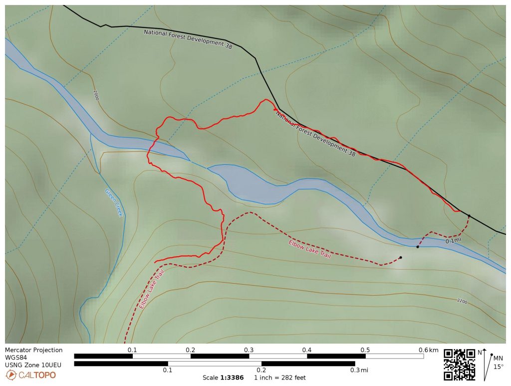
- The crux of this route is the river crossing. Obviously, it may change year to year, but usually the river is not safe to ford before late July. This year, some nice citizens put in a log bridge and even flagged a trail from the road and to the trail on the other side. I’ve included a map here showing this approach:
AWESOME! Do you have a GPS track by chance? If so, mind sharing it?
Sure, I just emailed it to you.
hey kyle, sorry to bother you but I would love a gps track as well
thanks, ethan
Sent
I would appreciate the GPS track too, Thank you!
I sent you a track, maybe a little late but hopefully it works out.
Hey Kyle,
Do you mind sharing the gps track for this? Looks awesome!
I sent it.
One more request for the GPS track… thanks!
You got it!
Hey there, would you be willing to share the GPS track? thanks!
Sent
Thnx you for this epic post/beta! Would u be able to email me the gps tracks, too? Thnx u!
hi sorry to be “that guy”” but better late than never :). could you send me a gpx track
6Id love the gpx file too! This looks incredible!!!
Any chance you could send me a track?
Thanks!
I’m sorry to be that person, but I’d love a gpx track! Please and thank you!
would love the gpx track of this!
Would love to give this route a try. Do you mind sending a copy of the Gpx? Thank you thank you thank you in advance. Looks like an awesome climb!
Thanks for the quad copter like views of South Twin range. Following your team into an area south of traditional routes was just what I needed to start the morning. 35 years and half my life ago 5.6 routes on N./S. Twins were great, but your climb was just palm sweating awesome. Throw in some videography and your National Geographic.
That many hours, with a small pack, and yet you still had all the essentials. Strong team, defining peak shape, burning thousands of calories, staying hydrated, traveling light and fast. Well written in a climbing vernacular of dihedral and chossy derp for all of us.
If you could share Gpx it’d make my day. Thanks and well done.
Haha that is one way of putting it. Maybe I’ll get a GoPro someday and try my hand at “vlogging”. I emailed you a GPX.
Great write up! Could I get the gpx track?
Could I snag a gpx from you as well!?
Hi Kyle, sorry to bother you but I’d really love a share of your gpx as well. Thank you for all your detailed reports!
Hi! Just to pile on, would you be willing to share your gpx? So appreciated; love your writeups so very much.